in the county of South Yorkshire
(6.4 miles, 10.2 km, direction N)This town was formerly a Saxon market town which remained largely unaltered until the Industrial Revolution...
in the county of South Yorkshire
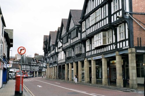
(6.8 miles, 10.9 km, direction NW)..
in the county of South Yorkshire
(7.5 miles, 12.1 km, direction NE)The town was mentioned in the Doomsday Book, and several historic properties can be found in the region from shortly after this time, of these, of particular note are the handsome ruins of Roche Abbey, a Cistercian foundation of 1147...
in the county of Derbyshire
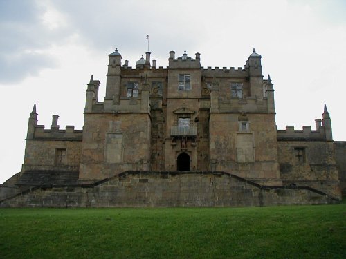
(7.7 miles, 12.4 km, direction S)Bolsover is a small town lying 5 miles east of Chesterfield. It occupies a picturesque valley setting, watched over by 17th century Bolsover Castle which stands on the site of a former fortress of Norman times...
a Historic Market Town in the county of Derbyshire
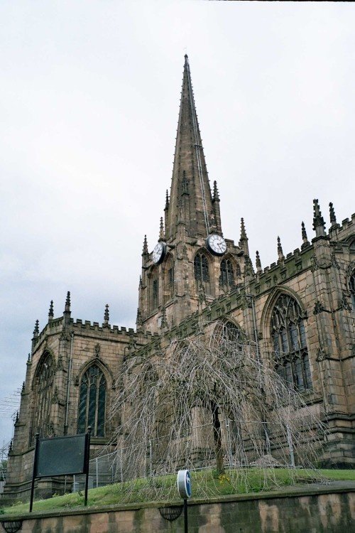
(8.4 miles, 13.5 km, direction SW)Chesterfield is an attractive town close to the dramatic peaks of the Peak District National Park. It is well known for its strange landmark, the crooked spire of its parish.....
All towns in South Yorkshire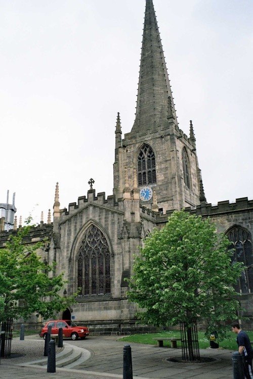
This cathedral dates mostly from the 15th century, it was the former parish church of St.Peter and St.Paul, its tower and.....
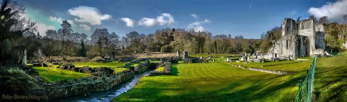
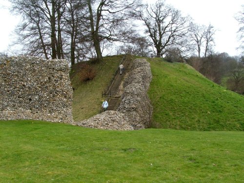
The evocative remains of Roche Abbey rising from a landscape laid out by Capability Brown present an awe-inspiring sight,.....
The early morning sun streams down on a piece of Derbyshire's proud heritage, as into view come the magnificent ruins of Bolsover.....
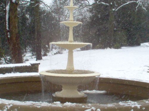
..
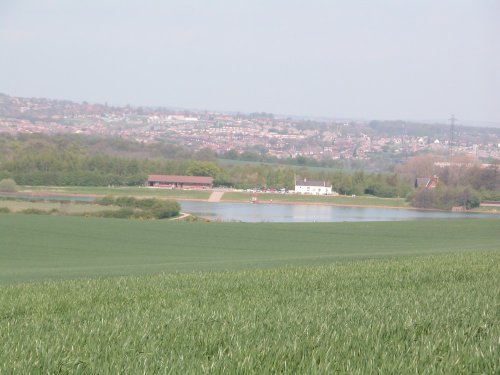
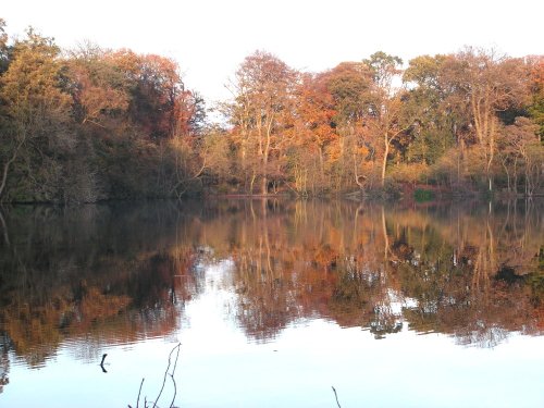
Thrybergh Country Park evolved out of Thrybergh Reservoir built in the 1800's to supply the borough of Doncaster with water. .....
Follow PicturesOfEngland.com on social media and help share the beauty of England....