Selworthy Green is the start of a picturesque walk through steep woodlands to the gorse-gold and heather clad summit of Selworthy Beacon from which there are magnificent views over the undulating countryside...
Minehead is a quintessential English seaside resort on the beautiful Somerset coast whose mild climate has been a magnet for visitors since Victorian times. At the end of Quay.....
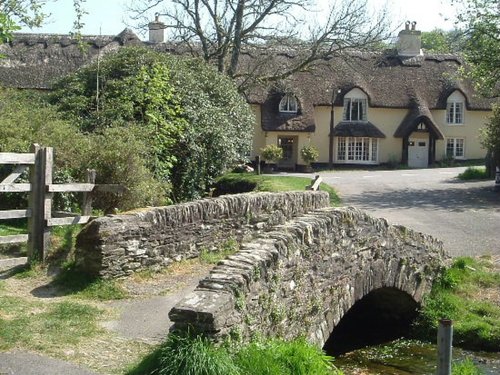
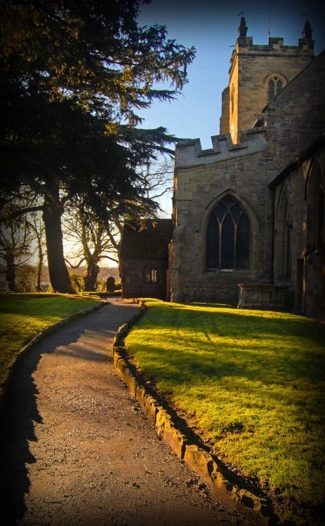
One of the prettiest and most unspoilt of villages, steeped in history and mentioned in the Domesday book..

The village of Southerndown is set back from the dramatic dry-stone cliffs surrounding Dunraven Bay, these are mostly formed by alternate layers of limestone and shale, which give the cliffs their unusually regular pattern...
Holford lies in a peaceful wooded valley at the foot of the lovely Quantock Hills crowning the landscape where the county of Somerset sweeps towards the coast...
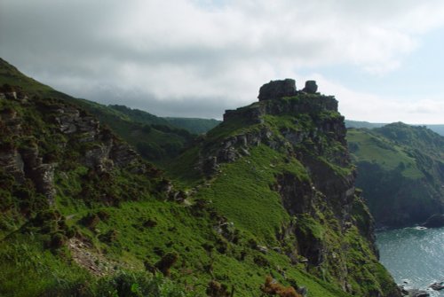
A castle perched high above the sea dominates the north-eastern corner of Exmoor. For hundreds of years Dunster Castle has stood.....

The high walls of Dunster Castle look down over the quaint village of Dunster from its imperious setting atop of a classically.....
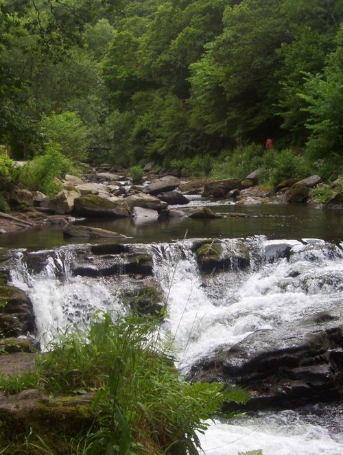
This is a delightful fishing lodge from 1823 located at the picturesque spot in the East Lyn Valley where the waters of the River.....
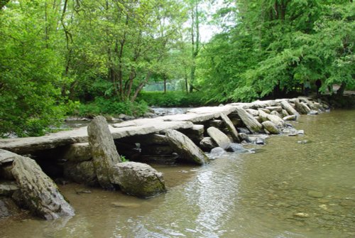
A Prehistoric bridge dating from 1000 BC. The bridge crosses the river Barle with some of its stones weighing 5 tonnes, and said.....
..
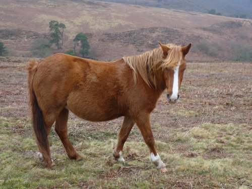
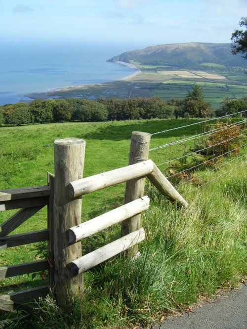
This beautiful range of hills is a part of England where stags and deer can still be seen roaming freely. In many ways the.....
Halsway Manor is unique residential Folk Centre set on the southern slopes of the Quantock Hills in West Somerset. Set in.....
Follow PicturesOfEngland.com on social media and help share the beauty of England....