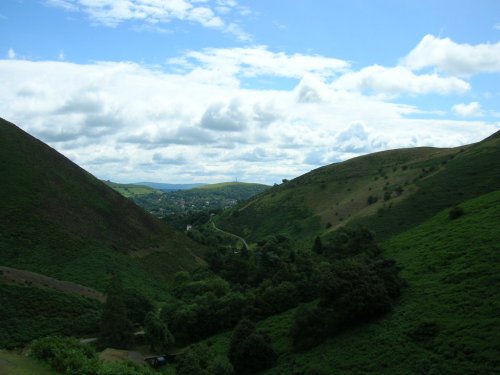
The Stiperstones lie amongst the magnificent hill scenery of Shropshire and at 1,762 feet are the second highest range in the county. From their grim, rock-strewn summit there are magnificent views, but for many these hills provoke a sense of desolation and unease, particularly when the sun becomes obliterated by swiftly descending mist. One of these curious rock formations is called "The Devil's Chair" and according to legend, the chair is a meeting place for witches and demons.
The geology of the landscape was set some 5 million years ago beneath the surface of a shallow sea. These hard white stones now occupy a landscape between heaths and moors, and are part of a fascinating National Nature Reserve covering over a thousand acres. The reserve, although managed, still preserves a wild untamed beauty with heather covered peat, conifers and lovely green pastures.
This is an area of great appeal for the walker, rambler and hiker. The stark ridge of the Stiperstones can be reached by a number of footpaths, some are rocky, but those who make the trek reap a rich reward of spectacular views towards west Wales, and of the great moorland expanse of the Long Mynd.
Offa's Dyke is within easy reach and there are plenty of hamlets and villages for refreshment.
a Historic Market Town in the county of Shropshire
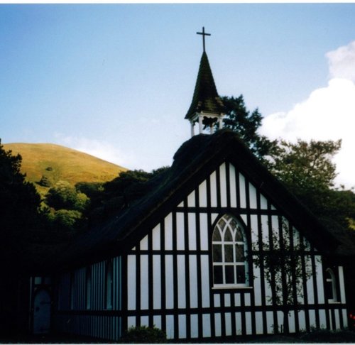
(6.4 miles, 10.3 km, direction SE)Church Stretton is an historic market town in the South Shropshire hills, and the only town in the Shropshire hills Area of Outstanding Natural Beauty - one of Britain's fiinest.....
in the county of Shropshire
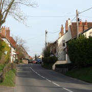
(6.6 miles, 10.6 km, direction SE)Little Stretton lies in a charming rural area a short distance from the old town of Church Stretton...

in the county of Shropshire
(10.8 miles, 17.4 km, direction E)Interestingly, Acton Burnell has connections with America that go back to the stirring days of the Declaration of Independence in 1776...
in the county of Shropshire
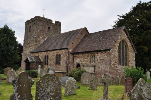
(11.4 miles, 18.3 km, direction SE)The village of Stokesay lies amid the soft rolling fields and wooded valley's of shropshire...
in the county of Shropshire
(11.5 miles, 18.6 km, direction S)Rising at the side of the River Clun from which the town takes its name, this charming little place offers much of interest...
All towns in Shropshire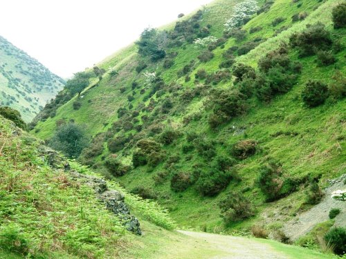
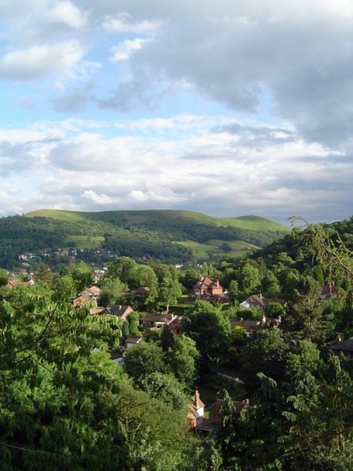
The Long Mynd (meaning "Long Mountain") is a 7 mile long heath and moorland plateau that forms part of the Shropshire hills and.....
The bleak, heather clad Long Mynd lies to the west Of Church Stretton. It is a long lonely stretch covering some 10 miles in.....
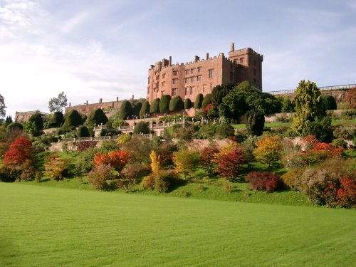
Powis Castle is a magnificent dramatic building rising above a hauntingly beautiful landscape. The castle sits on the borders of.....
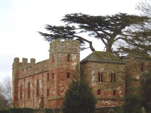
Although crenulated, the spectacular red sandstone ruins of Acton Burnell speak more of a grandiose place of comfort rather than.....
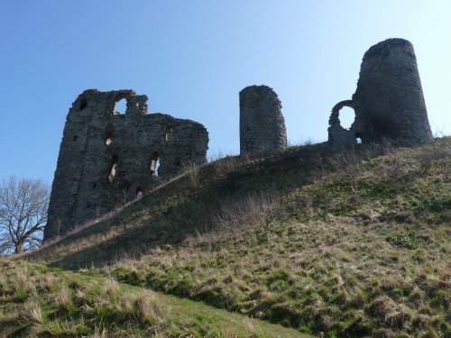
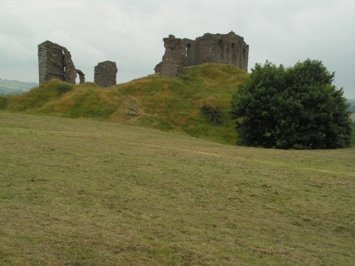
Late in the 12th-century, the wooden fortification built at Clun in the 11th-century was burnt down by the Welsh. The land then.....
Follow PicturesOfEngland.com on social media and help share the beauty of England....