Church Stretton is an historic market town in the South Shropshire hills, and the only town in the Shropshire hills Area of Outstanding Natural Beauty - one of Britain's fiinest.....
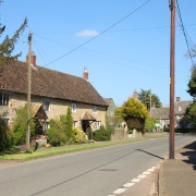
The village of Stokesay lies amid the soft rolling fields and wooded valley's of shropshire...

Interestingly, Acton Burnell has connections with America that go back to the stirring days of the Declaration of Independence in 1776...

Rising at the side of the River Clun from which the town takes its name, this charming little place offers much of interest...

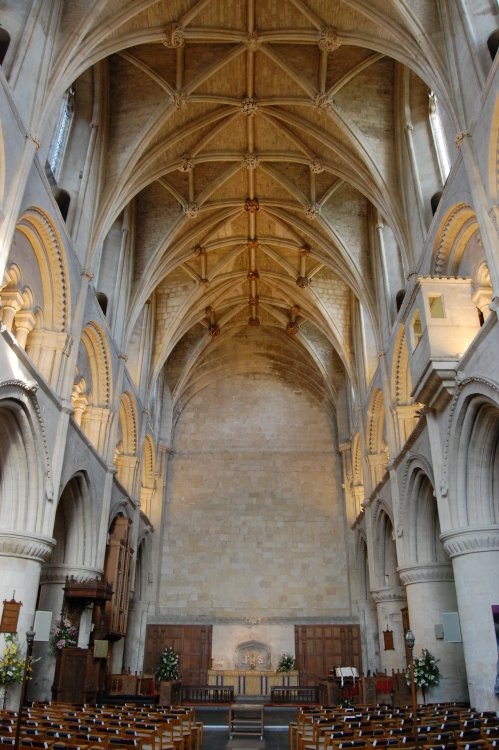
Nestling on the banks of the rivers Corve and Theme Ludlow is a joyous town to visit at any time of year...
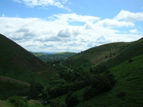
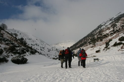
The bleak, heather clad Long Mynd lies to the west Of Church Stretton. It is a long lonely stretch covering some 10 miles in.....
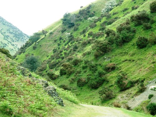
The Long Mynd (meaning "Long Mountain") is a 7 mile long heath and moorland plateau that forms part of the Shropshire hills and.....
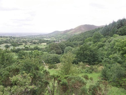
The Stiperstones lie amongst the magnificent hill scenery of Shropshire and at 1,762 feet are the second highest range in the.....
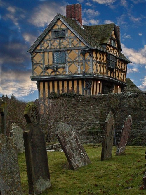
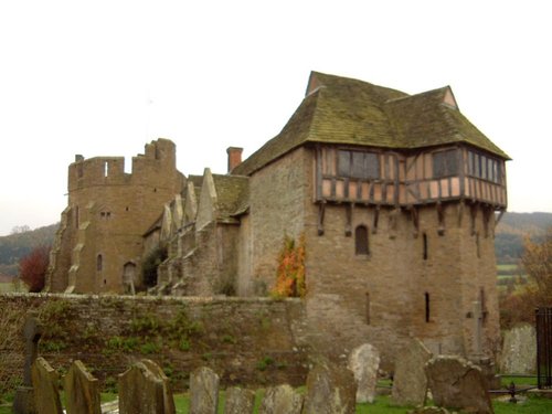
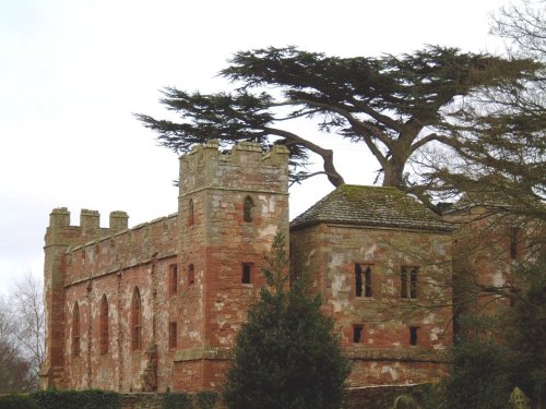
This extremely attractive building is not a castle in the traditional sense, but rather a fortified manor house and as such is.....
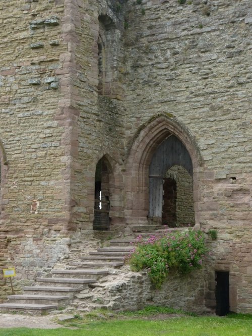
Although crenulated, the spectacular red sandstone ruins of Acton Burnell speak more of a grandiose place of comfort rather than.....
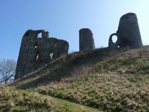
Late in the 12th-century, the wooden fortification built at Clun in the 11th-century was burnt down by the Welsh. The land then.....
Information Coming Soon..
Follow PicturesOfEngland.com on social media and help share the beauty of England....