in the county of Rutland
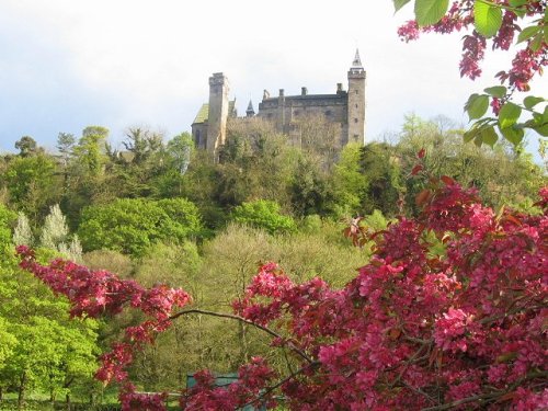
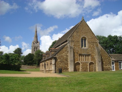
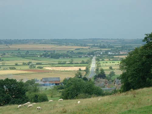
(2.8 miles, 4.4 km, direction W)For centuries the countryside around Oakham has echoed to the sound of hunting horns, for the vales and rolling farmland surrounding this sedate market town, have been the stamping ground for the counties hunting fraternity...
a Historic Market Town in the county of Lincolnshire
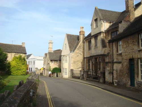
(8.1 miles, 13.1 km, direction E)Of the 17 churches, only 6 now remain in Stamford, which is without doubt, one of the finest medieval towns in the British Isles, if not in Europe...
in the county of Leicestershire
(9.3 miles, 15.0 km, direction SW)Easter Monday sees the villages of Hallaton and Medbourne engaged in a riotous 'bottle kicking' contest which is said to have pagan origins...
a Historic Market Town in the county of Leicestershire
(11.8 miles, 19.0 km, direction NW)An historic market town famous for its Pork packed pies and Stilton cheeses, both are savoured all over Britain and in many other countries...
in the county of Northamptonshire
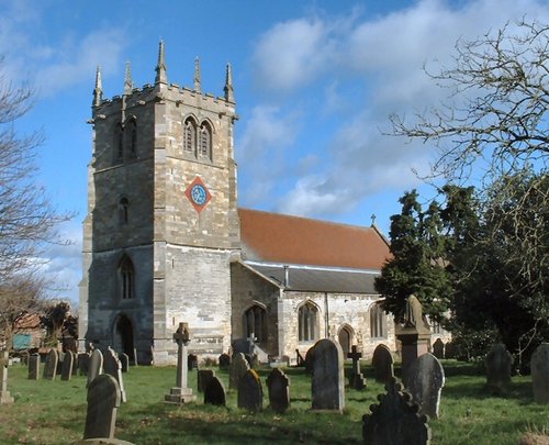
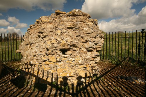
(13.3 miles, 21.4 km, direction SE)The lantern tower of the Church of St. Mary and All Saints at Fotheringhay shines through the deepening shadows of the great trees that frame it, shadows matched in darkness by those less visible that haunt the village where the final tragedy of Mary, Queen of Scots was enacted...
All towns in Rutland
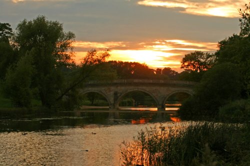
Rutland Water is the largest reservoir in England (by surface area) and one of the largest artificial lakes in Europe. Its.....

Looking around the romantic ruin of Kirby Hall it is easy to imagine the splendour of an age when romance was all, and great.....
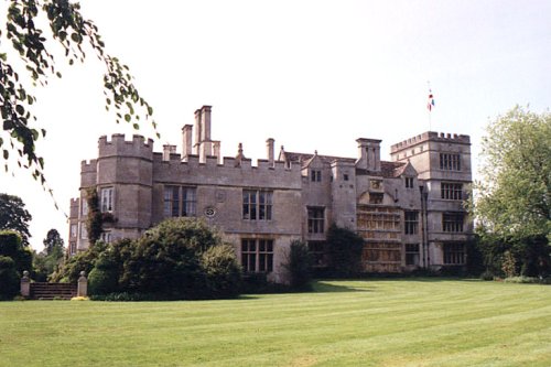
This is a graceful house which perfectly epitomises the wealth of the prosperous Elizabethan period. Burghley was completed in.....
..
..
Follow PicturesOfEngland.com on social media and help share the beauty of England....