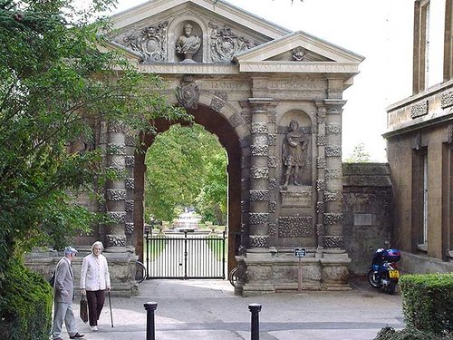
Oxford's fame is perhaps second only to Windsor, it is an acclaimed seat of learning with a University whose first college was founded in 1249, almost half a century after the first charter granted to the town by Henry II...
This is a popular Thames side village which was the choice of Jerome K. Jerome for a setting for one of the riotous scenes of his "Three Men in a Boat" and it is easy to see just.....
Interesting town, developed around the gates of an abbey founded in 675...

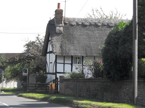
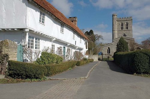
Ewelme is a quiet place particularly noted for its historic parish church...
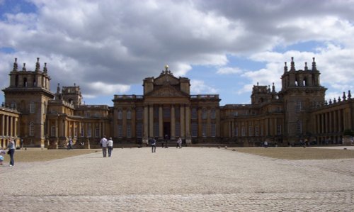
Woodstock will be forever inextricably linked with the great Palace of Blenheim and as birthplace of Sir Winston Churchill, one of the greatest Englishmen ever...
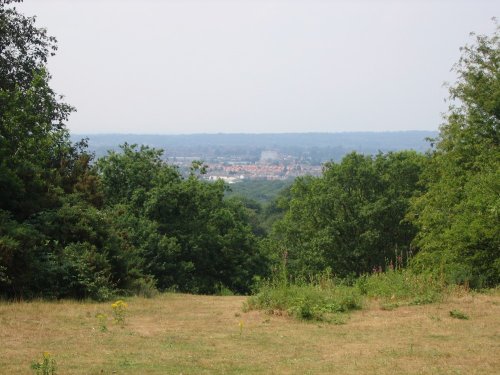
Shotover Country Park covers 117 hectares on the southern slopes of Shotover Hill, and is very popular with walkers, joggers, dog.....
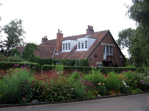
C S Lewis' former home known today throughout the world as the Kilns was built in 1922. The area surrounding it was in fact a.....
Situated on the banks of the River Cherwell is the peaceful settings of the beautiful Botanic Gardens of Oxford. The gardens are.....
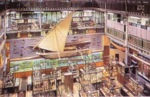
An impressive storehouse filled with the richest examples of human creativity and imagination. Masks peer down from the high.....
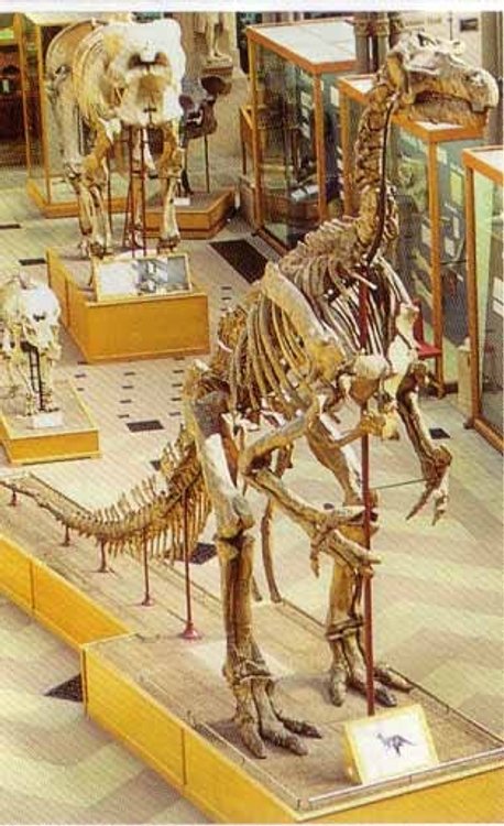
Opened in 1860 as a home for the teaching of natural science in Oxford. The Museum, with its glass-roofed court, naturalistic.....
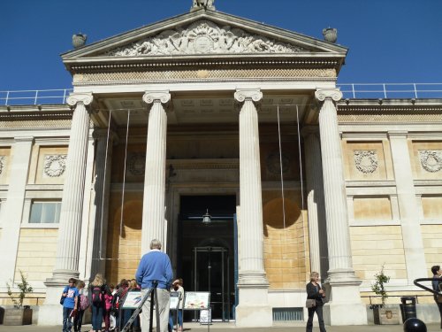
Built in 1845 as the university Galleries, this Museum became home to the Ashmolean collection in 1894. The museums present.....
Long Crendon is a beautiful Buckinghamshire village which is possibly best know for its stunning 15th century Courthouse, given.....
Enjoy this site?
Please help us stay online by making a donation today - thank you for your kind support.

Follow PicturesOfEngland.com on social media and help share the beauty of England....