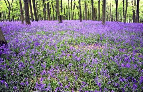
The beautiful Vale of the White Horse is the region lying between the River Thames and the Berkshire Downs. It is an area defined by sweeping downland hiding unsolved prehistoric mysteries, ancient stone circles, hill forts and burial mounds.
One of its mysteries standing out above the rest is the stunning Uffington White Horse (NT), cut from the chalk turf of White Horse Hill, above the vale. There are 16 such horses in various parts of Britain of which this is the oldest and certainly the most graceful. It is believed to have been first recorded in the 12th-century, but many think it may have been in existence since the 1st-century BC, for it clearly resembles the horses on coins used by the Celtic Belgae tribe.
The horse is supposed to be cleaned every seven years in order to keep its outline clear. Until the mid-19th-century, this event was the focus of a local celebration, with sports, entertainment, much merriment and feasting.
Whitehorse Hill is 858ft high, and is crowned by the ditch and bank of Uffington Castle, a circular Iron-Age fort. The landscape is constantly windswept, but the climb to the top is worth it for the view of the valley with its farms and cottages interspersed amongst dense woodland.
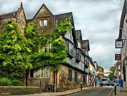
a Historic Market Town in the county of Gloucestershire
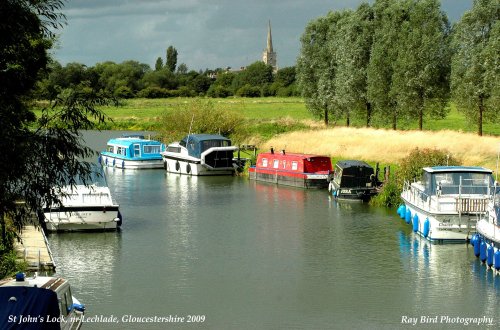
(7.1 miles, 11.5 km, direction N)This pleasant little market town, set beside the upper reaches of the Thames, is dominated by the elegant spire of the beautiful parish church of St.Lawrence..
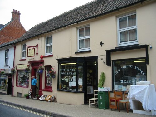
a Historic Market Town in the county of Oxfordshire
(9.0 miles, 14.5 km, direction E)Wantage is a small historic market town in Oxfordshire, famous for being the birthplace of King Alfred the Great, who was born there during the 9th century, though the site of the.....
a Historic Market Town in the county of Gloucestershire
(10.1 miles, 16.2 km, direction NW)Fairford was granted a market charter in the year 1135 but it is believed that village has its origins way back in the Bronze Age. Its beautiful church is world famous for having the most complete set of Medieval stained glass windows of any parish church in the United Kingdom..
in the county of Gloucestershire
(12.4 miles, 20.0 km, direction NW)This village in the fertile Coln Valley has the prestige of being one of the 10 most desirable villages in England...
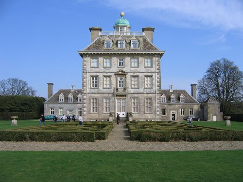
in the county of Wiltshire
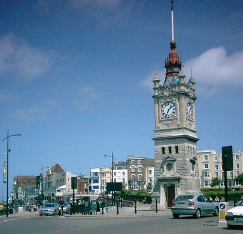
(12.7 miles, 20.5 km, direction S)Dramatic chalk downs extend from Berkshire into rural Wiltshire, they are particularly rich in pre-historic remains and shelter a wealth of charming market towns and pretty.....
All towns in Oxfordshire
Memorabilia of Uffington and district ranging from pre-historic and Roman times up to the present. Information on recent digs at.....
..

This charming rural water mill was built in the local timber and weather-boarded style with a hipped roof and dates from 1807. .....
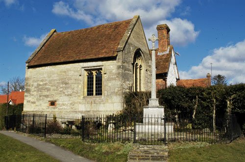
Displays of Hendred's Millenium history housed in a Grade one Listed ex-Carthusian Chapel (15th Century)...
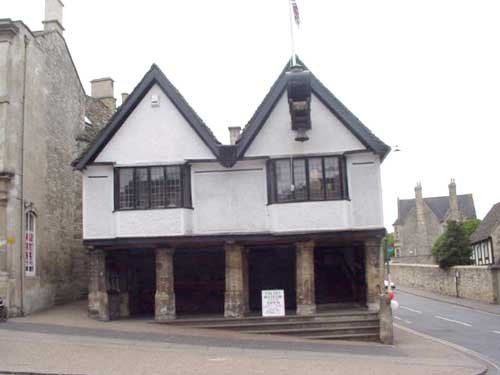
The Tolsey Museum can be found in the center of town at the ancient Burford crossroads, the main center of Burfords old market.....
Enjoy this site?
Please help us stay online by making a donation today - thank you for your kind support.

Follow PicturesOfEngland.com on social media and help share the beauty of England....