Wantage is a small historic market town in Oxfordshire, famous for being the birthplace of King Alfred the Great, who was born there during the 9th century, though the site of the.....
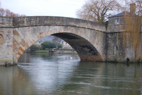
This pleasant little market town, set beside the upper reaches of the Thames, is dominated by the elegant spire of the beautiful parish church of St.Lawrence..
East Hendred is one of the spring line villages nestling just below the Downs in the Vale of the White Horse, Oxfordshire...
Fairford was granted a market charter in the year 1135 but it is believed that village has its origins way back in the Bronze Age. Its beautiful church is world famous for having the most complete set of Medieval stained glass windows of any parish church in the United Kingdom..
Interesting town, developed around the gates of an abbey founded in 675...

Memorabilia of Uffington and district ranging from pre-historic and Roman times up to the present. Information on recent digs at.....
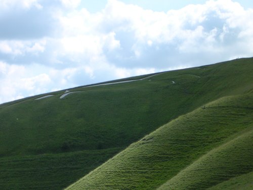
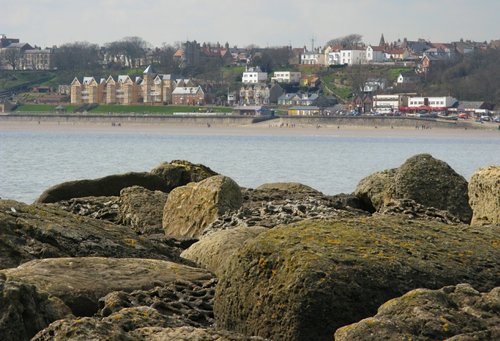
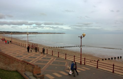
The beautiful Vale of the White Horse is the region lying between the River Thames and the Berkshire Downs. It is an area.....
..

This charming rural water mill was built in the local timber and weather-boarded style with a hipped roof and dates from 1807. .....
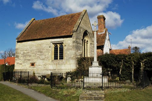
Displays of Hendred's Millenium history housed in a Grade one Listed ex-Carthusian Chapel (15th Century)...
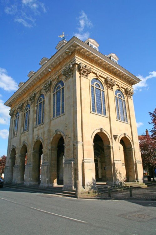
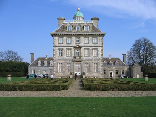
Abingdon museum is housed in the centre of this ancient town in the spectacular 17th century County Hall. It includes displays.....

Abingdon Abbey was founded in 675 and demolished following Henry VIII's Dissolution of the Monasteries. During the life of the.....
Enjoy this site?
Please help us stay online by making a donation today - thank you for your kind support.

Follow PicturesOfEngland.com on social media and help share the beauty of England....