| 10 Of The Best Cotswold Towns & Villages to Visit | by poe |
Created by poe on 25th April 2022 (updated 2022-04-25 13:05:33)
Created by poe on 25th April 2022 (updated 2022-04-26 12:00:11)
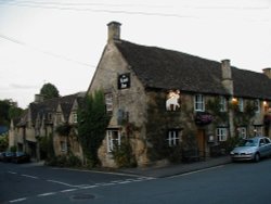
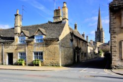
There are some excellent old pubs in Burford, serving local beers and excellent food. Check out the Lamb Inn, The Mermaid, and The Cotswold Arms which are all in the center of Burford.
Created by poe on 26th April 2022 (updated 2022-04-26 12:43:31)
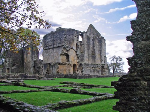
Minster Lovell, in its beautiful dream-like setting against the gently rising Cotswold landscape, has a history stretching back to Saxon times...
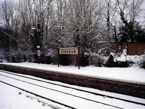
Kingham is a pleasant Cotswolds village in the heart of the Evenlode valley which, in 2004, a Country Life panel judged to be "England's Favourite Village". Not only that but,.....
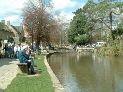
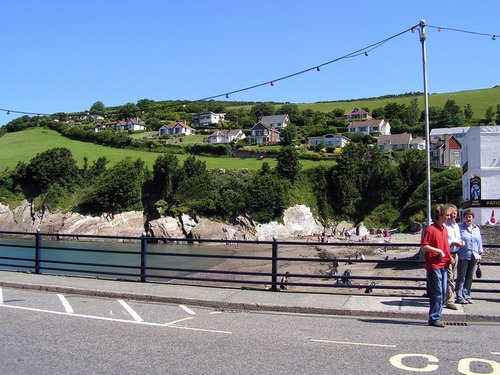
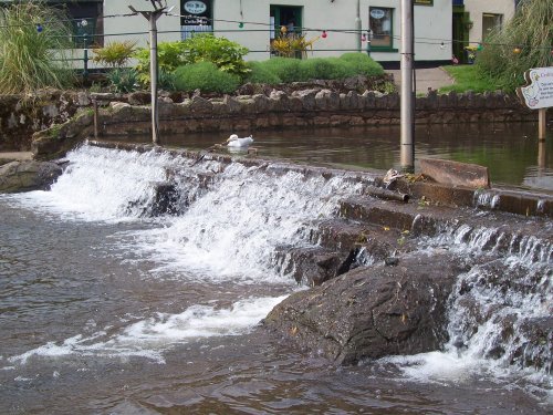
Bourton on the Water is a beautiful Cotswold village often referred to as ‘The Venice of the Cotswolds’ or ‘Little Venice’ as it center’s around the river Windrush, a.....
The charming hill village of Churchill is to be found a short distance south west of Chipping Norton, it lies amidst what is mostly agricultural lands. It is of interest as.....
This village in the fertile Coln Valley has the prestige of being one of the 10 most desirable villages in England...
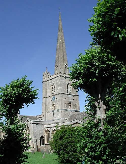
Burford Parish Church is one the most beautiful and interesting churches in England. The building of the present church began in.....
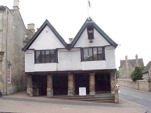
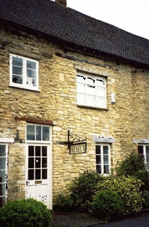
The Tolsey Museum can be found in the center of town at the ancient Burford crossroads, the main center of Burfords old market.....
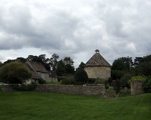
The ruins of Minster Lovell Hall stand in an attractive position on the banks of the River Windrush. Despite speculation, the.....
The ground floor displays tell the story of Witney's history with special emphasis on the Blanket Industry, school life and.....
Cogges Manor Farm Museum is closed to day visitors for the 2010 season. Management of the site is being passed to a new Trust......
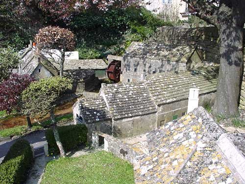
Bourton on the Water has a replica of itself built in traditional local cotswold stone. The Model Village is built to one-ninth.....
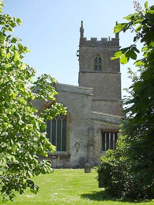
This beautiful church was built somewhere between the 11th and 15th century. The tower is 88ft high and was completed in 1447. It.....
Enjoy this site?
Please help us stay online by making a donation today - thank you for your kind support.

Follow PicturesOfEngland.com on social media and help share the beauty of England....