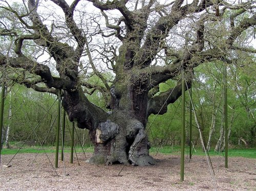
Many legends surround the mighty 'Major Oak' of Sherwood Forest, but one thing can be certain and that is its incredible size, for this ancient tree not only has a girth of 10 metres (33ft) but also a spread of 28 metres (92ft) making it the largest oak tree in the whole of Britain. It also weighs an estimated 23 tonnes!
Due to its enormous spread, many of its branches are supported with props, and have been since Victorian times, helping the tree to stay intact and healthy. The area directly around it has also been fenced off to keep visitors feet from compressing the soil above and around its roots.
People think that it was named because of its size, but in fact it was named after Major Hayman Rooke, a local historian who described the tree in 1790.
People from all over the world decend on Sherwood Forest to see this remarkable tree, which is said to have been a favoured hideout of Robin Hood and his merry men.
Edwinstowe facts | Nottinghamshire facts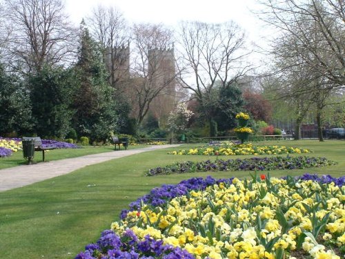
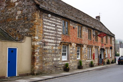
The dense spread of Worksop in Nottinghamshire meets with some seriously picturesque countryside, it is fortunate to be ringed by two rivers, the Clumber which borders Clumber Country Park, and the River Ryton...
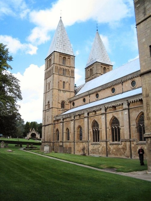
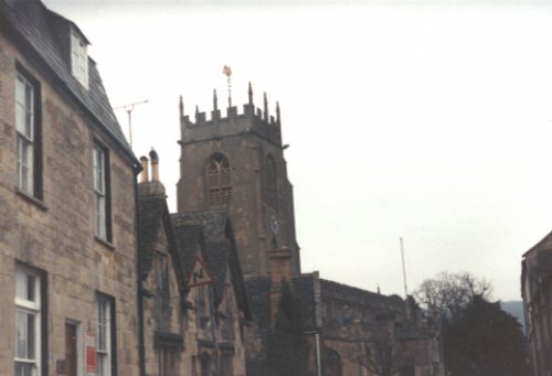
Southwell, surrounded by lovely open countryside, offers an interesting choice of guest accommodation and has a good range of shops, inns and restaurants...
Bolsover is a small town lying 5 miles east of Chesterfield. It occupies a picturesque valley setting, watched over by 17th century Bolsover Castle which stands on the site of a former fortress of Norman times...
This is a village noted for the romantic ruins of what was once one of the grandest houses in Derbyshire...

As it's name implies, this town enjoys a fine position on the River Trent. The great castle where King John died in 1216 lies in ruins on the banks of the river...
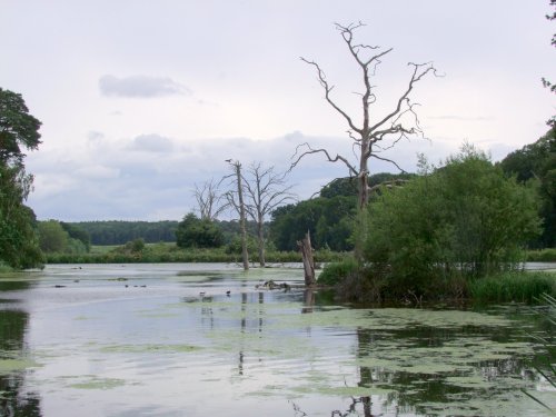
The peaceful landscape of this delightful country park gives visitors lovely summer memories of time spent ambling around.....
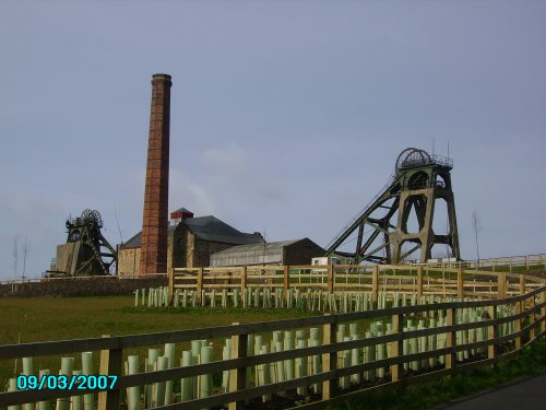
Pleasley Pit Country park is a reclaimed colliery site, which now offers nature lovers the chance to see record numbers of.....
..
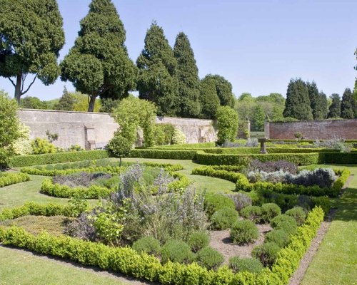
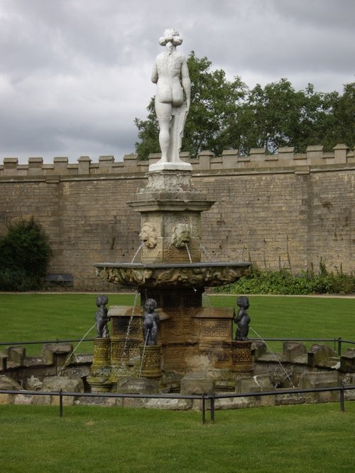
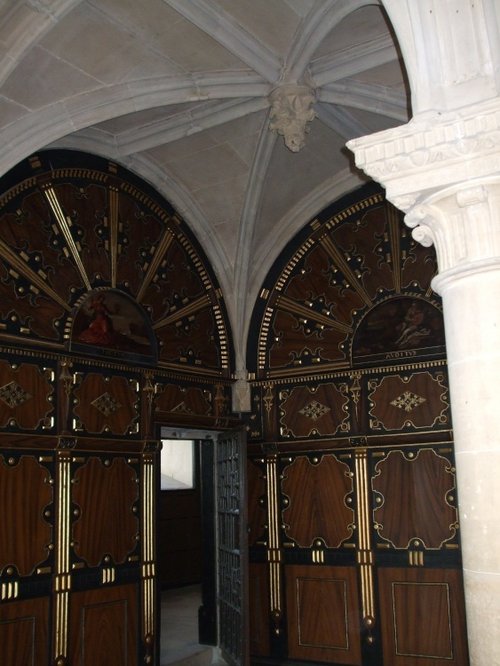
A beautiful historic house set in a glorious landscape of gardens and parkland within the heart of Nottinghamshire, England......
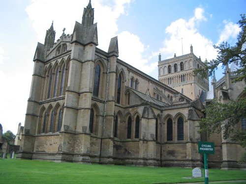
Historically a monastery was probably founded here in the 10th century, with the church being begun around 1108. The building.....
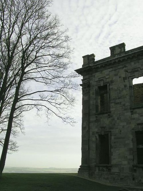
The early morning sun streams down on a piece of Derbyshire's proud heritage, as into view come the magnificent ruins of Bolsover.....
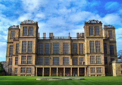
This magnificent Elizabethan house was begun by Elizabeth, Countess of Shrewsbury (Bess of Hardwick) in the year 1591. For the.....
Follow PicturesOfEngland.com on social media and help share the beauty of England....