Pictures of England

Search:

Historic Towns & Picturesque Villages

South Stack Lighthouse, Holyhead, Anglesey.

Holyhead

in the county of Isle of Anglesey

River Irwell, Salford

Salford

in the county of Greater Manchester

Pictures of West Woodburn

in the county of Northumberland

About West Woodburn

If you would like to add a description of West Woodburn, please use our West Woodburn forum here. To upload your West Woodburn photography and create your very own 'Pictures of England Gallery', click here or here to join the site and become part of the Pictures of England community, or simply see below for nearby recommended towns, attractions, and West Woodburn accommodation.

Recommended towns & villages near West Woodburn

Bellingham Bridge

Bellingham (7 Pictures) a Historic Market Town in the county of Northumberland

(4.0 miles, 6.5 km, direction SW of West Woodburn)

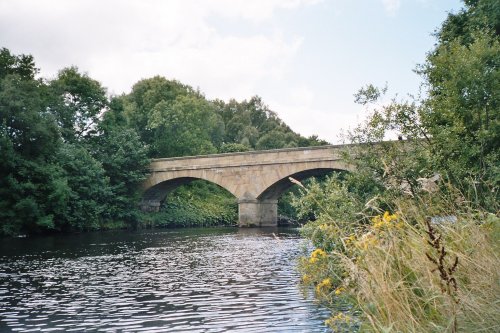
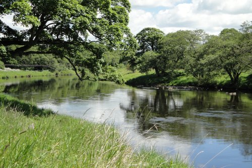
The market town of Bellingham sits on one of Northumberland's prettiest stretches of water, the north bank of the River North Tyne...

St.Michael's Church in the village of WALL in the county of NORTHUMBERLAND - August 2003

Wall (1 Pictures) a Picturesque Village in the county of Northumberland

(11.4 miles, 18.3 km, direction S of West Woodburn)

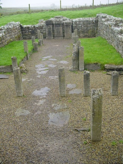
The village of Wall lies in the high uplands of Northumberland in spacious countryside bordered by the rivers South Tyne and North Tyne, close to Chester's Fort on historic Hadrian's Wall...

Near Bolam in Northumberland.

Bolam (3 Pictures) a Picturesque Village in the county of Northumberland

(12.4 miles, 20.0 km, direction E of West Woodburn)

This is an historic village, it took its name from a Baron de Bolam in the 13th century...

This is the well known Bridge End Cottage situated next to Thropton bride, Thropton, Northumberland

Thropton (2 Pictures) a Picturesque Village in the county of Northumberland

(12.7 miles, 20.4 km, direction NE of West Woodburn)

This pretty village straggles the banks of the sparkling River Coquet. It is a lively invigorating place, lying amidst the stunning countryside of Simonside, a 1,409 foot high peak...

Hexham County Bridge

Hexham (35 Pictures) a Historic Market Town in the county of Northumberland

(14.4 miles, 23.1 km, direction S of West Woodburn)

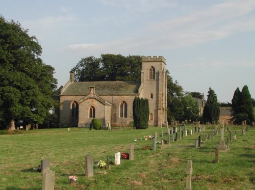
Historic market town where for centuries the sheep and cattle farmers of Northumberland gathered for the Tuesday market beside Hexham Abbey...

All towns & villages in Northumberland
Complete A to Z of towns & villages in England

Nearby attractions..

A Walk in the Cheviots, Northumberland

Northumberland National Park (63 Pictures)

(7.5 miles, 12.1 km, direction N)

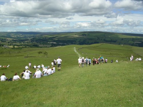
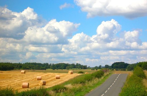
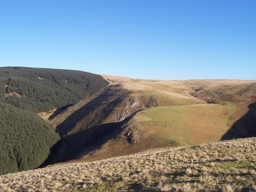
The Northumberland National Park is surely Northumberland's special blessing. It is an area of wild, desolate moorland and dark,.....

Ravens Crag and the Allerhope Burn, The Cheviot Hills, Northumberland.

The Cheviot Hills (12 Pictures)

(9.2 miles, 14.8 km, direction NW)

The clearly defined peaks of the glorious Cheviot Hills dominate the western side of the border territory as it juts boldly out.....

A picture of Redesdale

Redesdale (1 Pictures)

(9.5 miles, 15.3 km, direction NW)

..

Mithraeum temple near Brocolitia roman fort Milecastle

Carrawburgh Roman Fort (Brocolitia) (2 Pictures)

(10.2 miles, 16.4 km, direction S)

..

The River North Tyne

Chesters Roman Fort (Cilvrnvm) (71 Pictures)

(10.6 miles, 17.0 km, direction S)

..

Bolam Lake, Northumberland

Bolam Lake Country Park (1 Pictures)

(12.1 miles, 19.4 km, direction E)

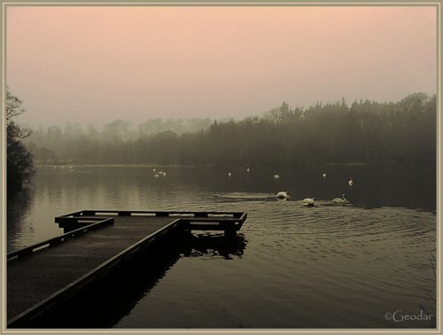
Bolam Lake Country Park occupies a lovely landscape amidst rich Northumbrian countryside. It has lovely watery areas enriched.....

Lordenshaw, near Rothbury, Northumberland, England

Lordenshaw (2 Pictures)

(12.3 miles, 19.8 km, direction NE)

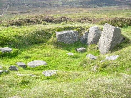
Ancient cup-and-ring marked outcrop and Iron Age hillfort in Northumberland National Park..


All attractions in West Woodburn
All attractions in Northumberland
Complete A to Z of attractions in England