Ancient cup-and-ring marked outcrop and Iron Age hillfort in Northumberland National Park
a Picturesque Village in the county of Northumberland
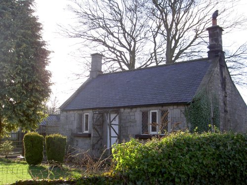
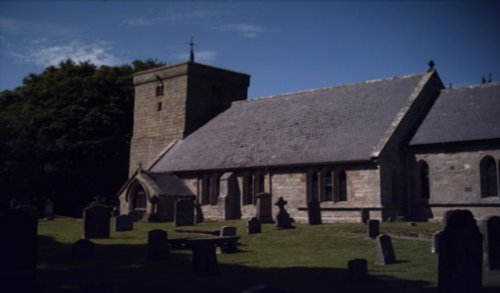
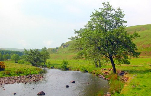
(2.1 miles, 3.4 km, direction NW)This pretty village straggles the banks of the sparkling River Coquet. It is a lively invigorating place, lying amidst the stunning countryside of Simonside, a 1,409 foot high peak...
a Picturesque Village in the county of Northumberland
(10.7 miles, 17.2 km, direction N)Ingram is a small picturesque village on the Breamish river in the Cheviots on the edge of the Northumberland National Park, and as part of Northumberland Dark Sky Park, it has.....
a Picturesque Village in the county of Northumberland
(10.7 miles, 17.2 km, direction S)This is an historic village, it took its name from a Baron de Bolam in the 13th century...
a Historic Market Town in the county of Northumberland
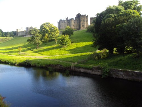
(12.2 miles, 19.6 km, direction NE)Set magnificently in the heart of the beautiful northern countryside is the great castle that has dominated the life and times of Alnwick for centuries...

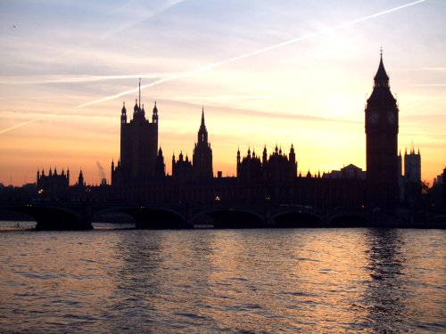
a Seaside Town in the county of Northumberland
(13.0 miles, 20.9 km, direction E)Sparkling in high summer and tinged with frosty thin ice in winter, the River Coquet makes its final loop before entering the sea at Amble...
All towns in Northumberland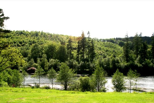
It would be hard to find a more pleasant and peaceful place than Rothbury. This enchanting little market town sits splendidly.....
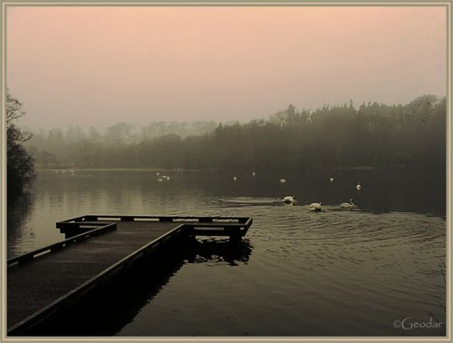
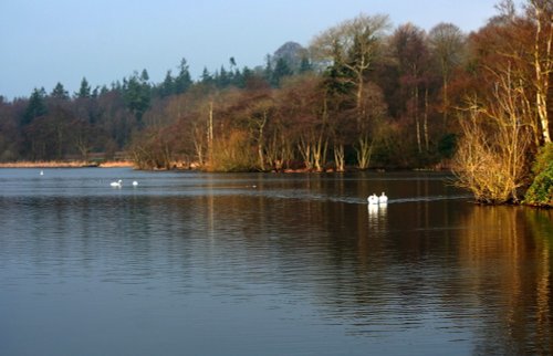
Bolam Lake Country Park occupies a lovely landscape amidst rich Northumbrian countryside. It has lovely watery areas enriched.....
See also: The Cheviot Hills
The.....
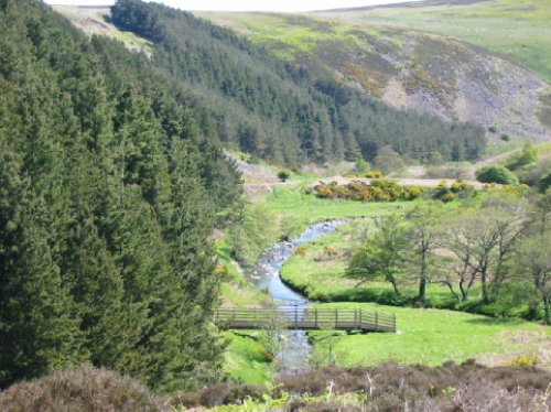
This magnificent park covers thousands of acres of glorious countryside. It is mostly enclosed by old stone walls, lying just a.....
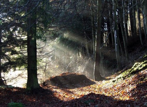
The Northumberland National Park is surely Northumberland's special blessing. It is an area of wild, desolate moorland and dark,.....
Follow PicturesOfEngland.com on social media and help share the beauty of England....