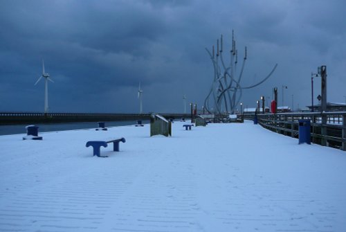
An attractive old place, with a long seafaring history, the port of Blyth is believed to date back to the 12th-century...
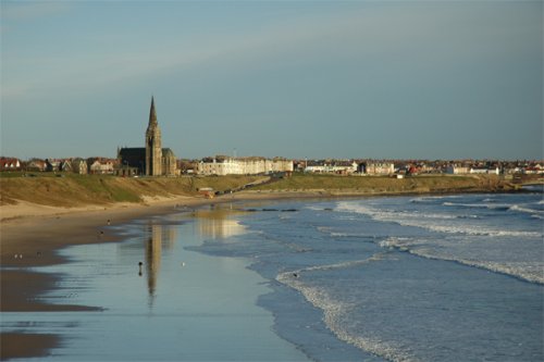
Cullercoats has many pleasing aspects including a picturesque 19th century church in a commanding position close to the shoreline...
Sparkling in high summer and tinged with frosty thin ice in winter, the River Coquet makes its final loop before entering the sea at Amble...
This is the town that is famous for the 1930's "Hunger March" caused by the intense poverty that followed the closing of the Charles Palmer shipyard. The last of the surviving marchers, Cornelius Whalen died in 2003 at the age of 93...
This is an historic village, it took its name from a Baron de Bolam in the 13th century...
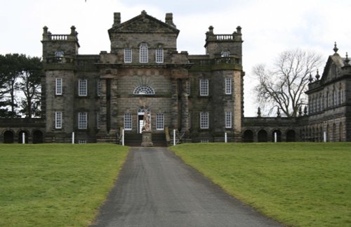
This house with its beautiful baroque work and wonderful ionic columns is the work of a man who was both inventive playwright and.....

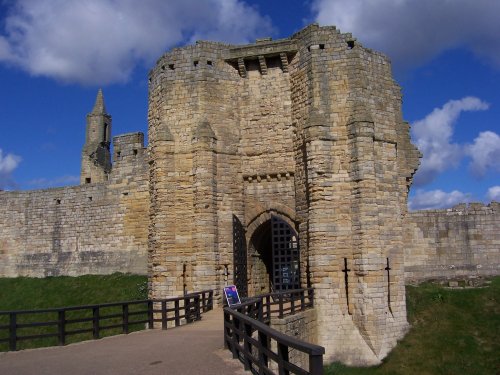
This once superb castle was, for over four centuries, one of the most important in a long line of defensive castle's built in the.....
..
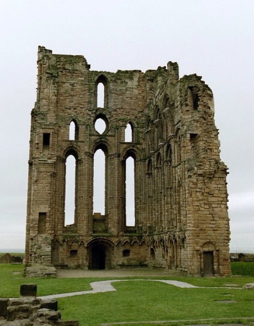
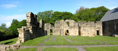
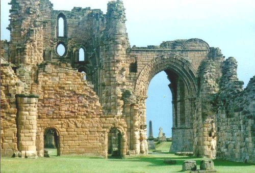
The haunting, intermingaled ruins of Tynemouth Castle and Priory stand on a headland above the River Tyne. Between them they.....
..
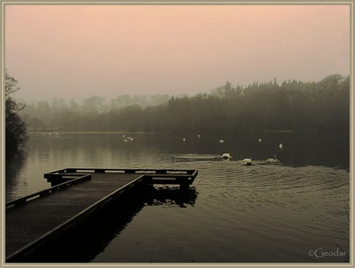
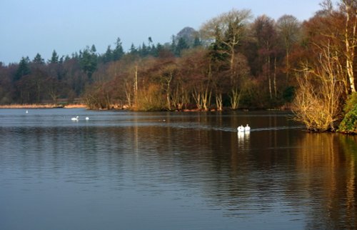
Bolam Lake Country Park occupies a lovely landscape amidst rich Northumbrian countryside. It has lovely watery areas enriched.....
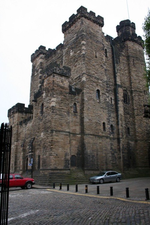
On returning from a raid into Scotland, Robert Curthose, eldest son of William the Conqueror built a castle calling it his `New.....
Enjoy this site?
Please help us stay online by making a donation today - thank you for your kind support.

Follow PicturesOfEngland.com on social media and help share the beauty of England....