a Picturesque Village in the county of Northumberland
(5.2 miles, 8.4 km, direction S)This is a picturesque village lying amongst sprawling open countryside criss crossed by dancing streams, tributaries of the River West Allen...
a Picturesque Village in the county of Northumberland
(7.8 miles, 12.6 km, direction SE)This picturesque Northumberland village enjoys a lovely location in the fine hill and dale countryside of the beautiful East Allen Valley...
a Picturesque Village in the county of Northumberland
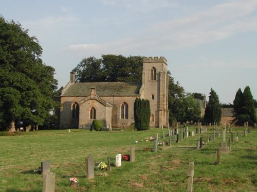
(8.7 miles, 14.0 km, direction E)The village of Wall lies in the high uplands of Northumberland in spacious countryside bordered by the rivers South Tyne and North Tyne, close to Chester's Fort on historic Hadrian's Wall...
a Historic Market Town in the county of Northumberland
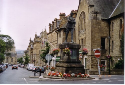
(9.6 miles, 15.4 km, direction E)Historic market town where for centuries the sheep and cattle farmers of Northumberland gathered for the Tuesday market beside Hexham Abbey...
a Historic Market Town in the county of Northumberland
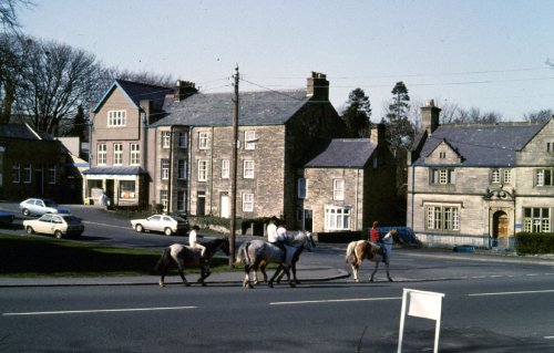
(11.2 miles, 18.0 km, direction N)The market town of Bellingham sits on one of Northumberland's prettiest stretches of water, the north bank of the River North Tyne...
All towns in Northumberland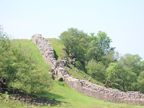
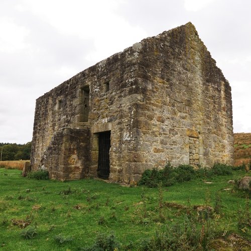
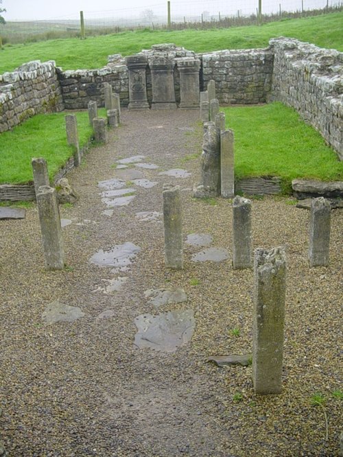
Wild and evocative remains of the Roman Empire's most northerly defences, with panoramic views. Roman barracks and some of the.....
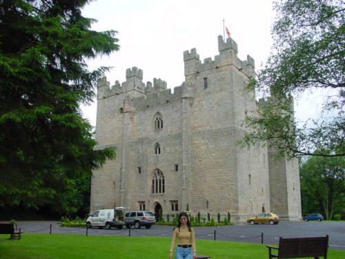
Built in 1350, during the reign of Edward III, the castle has retained its architectural integrity and is regarded as one of the.....
..
..
..
Follow PicturesOfEngland.com on social media and help share the beauty of England....