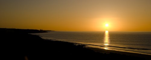
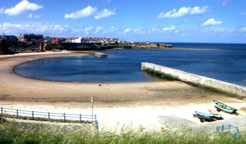
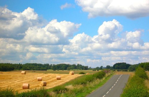
The bay is a major attraction, often lively with fishing cobbles and pleasure craft, it is also a haven for sun-bathers...
Cullercoats has many pleasing aspects including a picturesque 19th century church in a commanding position close to the shoreline...
This is the town that is famous for the 1930's "Hunger March" caused by the intense poverty that followed the closing of the Charles Palmer shipyard. The last of the surviving marchers, Cornelius Whalen died in 2003 at the age of 93...
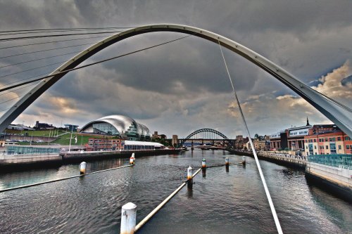
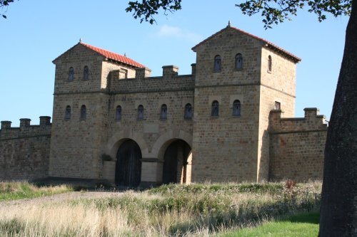
This important City was known as Pons Aelii in Roman times; the Romans built the first bridge over the River Tyne, it was guarded by a Roman fort which was replaced by a castle.....
This is an historic village, it took its name from a Baron de Bolam in the 13th century...
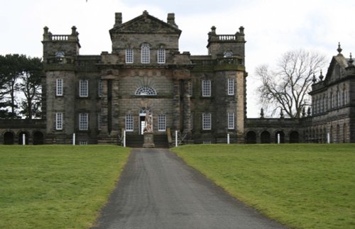
This house with its beautiful baroque work and wonderful ionic columns is the work of a man who was both inventive playwright and.....
..
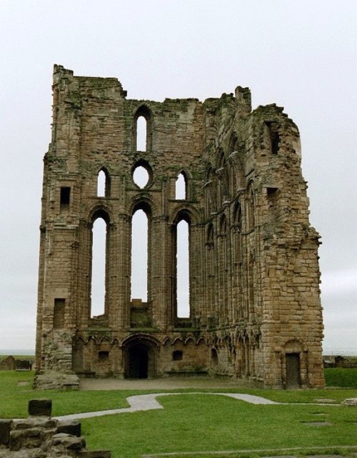
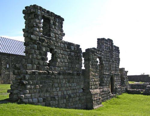
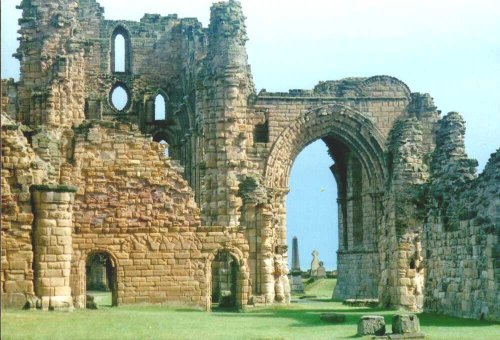
The haunting, intermingaled ruins of Tynemouth Castle and Priory stand on a headland above the River Tyne. Between them they.....
..
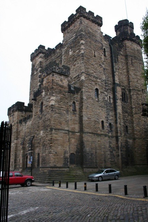
On returning from a raid into Scotland, Robert Curthose, eldest son of William the Conqueror built a castle calling it his `New.....
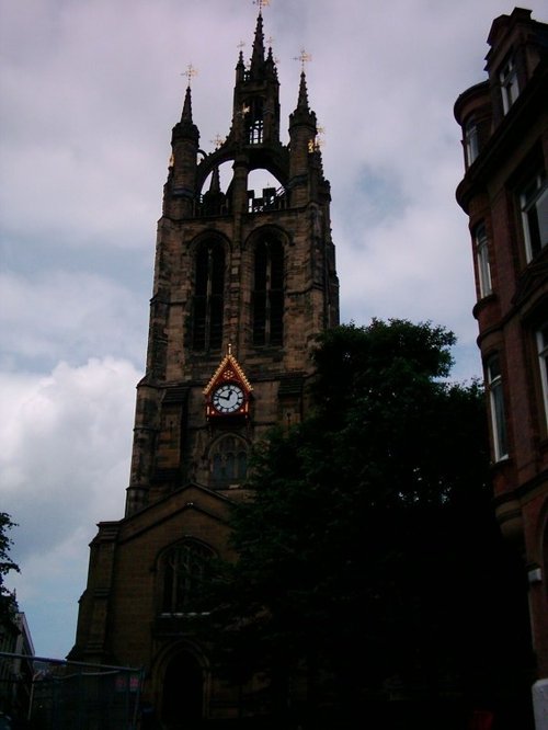
The magnificent cathedral church of St. Nicholas has stood at the heart of Newcastle for many centuries. Its superb lantern.....
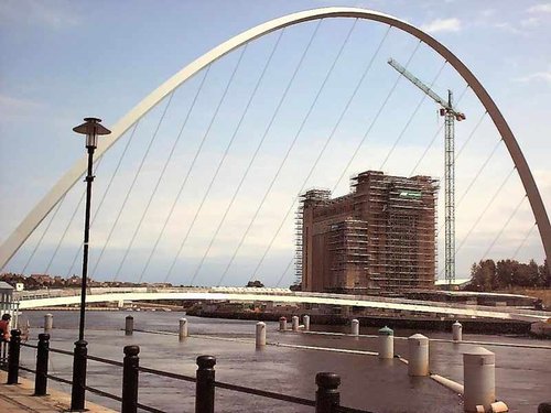
The Baltic Centre is a new £46m art gallery on the banks of the Tyne and is the latest evidence of the area's growing cultural.....
Enjoy this site?
Please help us stay online by making a donation today - thank you for your kind support.

Follow PicturesOfEngland.com on social media and help share the beauty of England....