..
Famous for delicious Crab for which folk still travel for miles to catch fresh, or buy from the quayside...
The village is renowned as a haven for wildlife, it is the place to go in winter if you want to see a good migratory flock of Snowbuntings, and other migratory birds who invade the area in vast numbers...
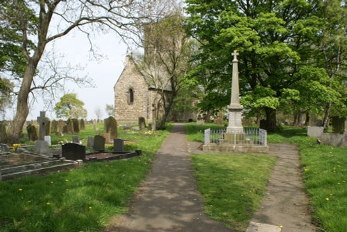
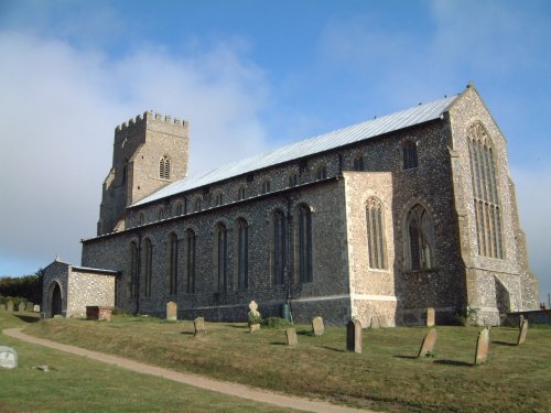
The 100ft tower rising above the Church of St.Nicholas is a landmark that can be seen for miles around. At the eastern end of the church, a smaller tower acts as a beacon to guide vessels to the safety of Blakeney Harbour...
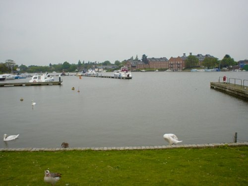
The town is attractive with a delightful mixture of buildings, including timber-frame black and white, it is pleasant for taking a stroll, and The Boulevard is where you can hire a boat or book a trip on the Waveney...
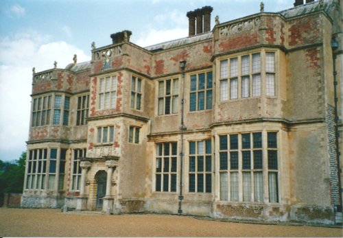
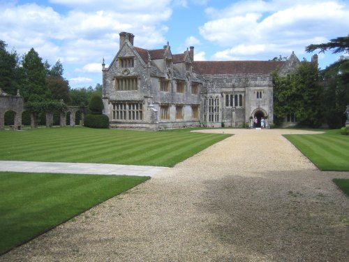
Felbrigg Hall is an outstanding Jacobean house built in about 1620, with a later west front in the William and Mary style. .....
..

..
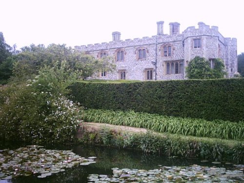
This stunning Jacobean mansion was spawned from Hatfield House which belonged to the powerful Cecil family. Both buildings were.....
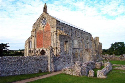
Binham Priory is thought to have been built during the 12th-century by Pierre de Valoines a nephew of William the Conqueror. The.....

..

..
Enjoy this site?
Please help us stay online by making a donation today - thank you for your kind support.

Follow PicturesOfEngland.com on social media and help share the beauty of England....