If you would like to add a description of Harleston, please use our Harleston forum here. To upload your Harleston photography and create your very own 'Pictures of England Gallery', click here or here to join the site and become part of the Pictures of England community, or simply see below for nearby recommended towns, attractions, and Harleston accommodation.

Diss is a beautiful old market town built around the edge of a six acre lake...
Eye is one of our smallest towns. Centuries ago it was an island town to which King John granted a charter in 1205...

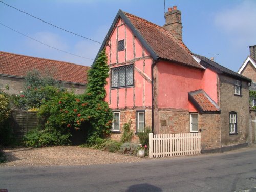
A town of picturesque buildings, with many relaxing places in which to quietly roam...

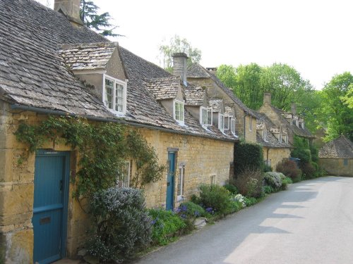
Narrow, medieval streets full of enchanting properties built following the Great Fire of 1615, mingle with the few building which fortunately escaped being raised to the ground...
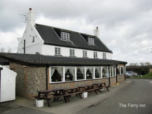
Reedham is ideally placed for cruising the waters of the Broads National Park, exploring the North Norfolk and North Suffolk coastlines and for discovering the historic city of Norwich...
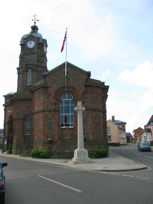
On reaching the curve of Market Hill a quaint, colourful sign proclaims to the visitor that you have arrived in the pretty market.....

Rising stark against the vast Norfolk skyline, the sight of Wymondham Abbey is at once both intriguing and eye-catching. It is.....
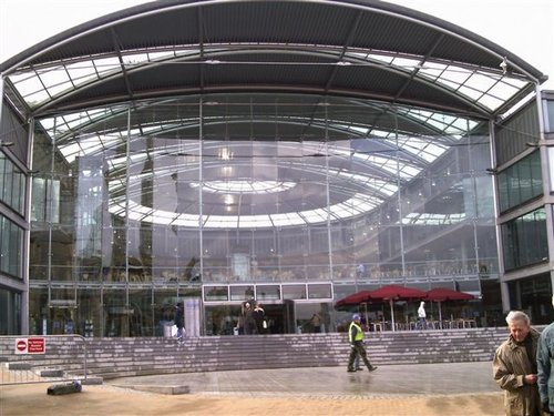
A unique landmark building in the heart of the city of Norwich, The Forum is a dynamic centre for learning, information and.....
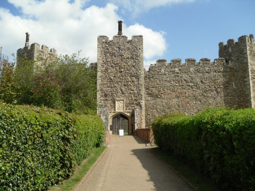
This magnificent 13th century castle is one of Norfolk's premier tourist attractions. It was originally built as a Royal palace,.....
In a town that is full of ancient well preserved streets and buildings which retain their medieval appearance and atmosphere, it.....
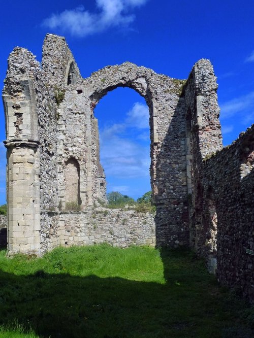
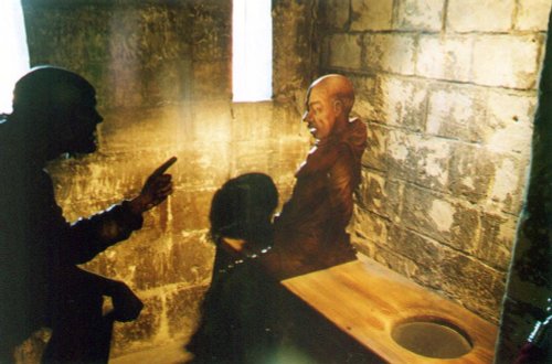
These are the evocative remains of an abbey founded when the order of the land was God first, followed by King and country. The.....
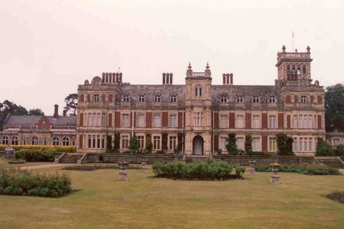
Somerleyton Hall, a splendid Victorian residence of palatial proportions was the creation of Sir Morgan Peto, a clever.....
Follow PicturesOfEngland.com on social media and help share the beauty of England....