Ainsdale Sand Dunes NNR forms part of the Sefton Coast - the finest dune system on the north-west coast of England. The area is part of a Ramsar site and part of the Sefton Coast Special Area of Conservation (SAC).
The dunes are home to over 450 plant species including 33 that are locally or regionally rare like petalwort, seaside centaury, yellow bartsia, round-leaved wintergreen, dune helleborine and pendulous flowered helleborine.
Sand lizards and great-crested newts are found here together with a large population of natterjack toads. Inland, areas of pine woodland are home to red squirrels.
(www.english-nature.org.uk)
in the county of Merseyside
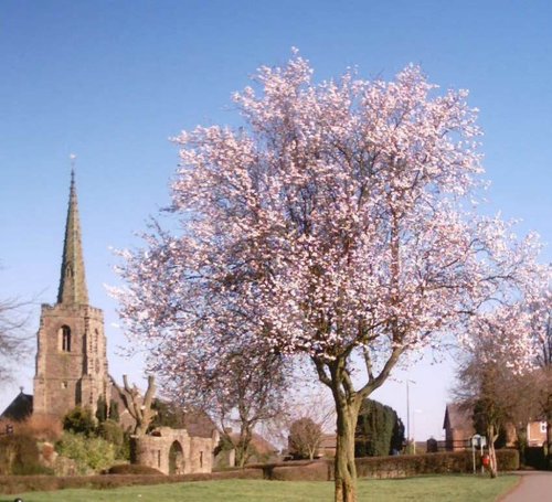
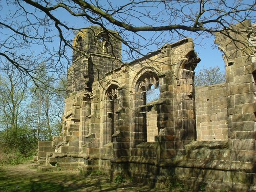
(6.5 miles, 10.5 km, direction SE)This attractive village was mentioned in the Doomsday Book. It is perhaps best known for the evocative ruins of St. Catherine's Church...
in the county of Merseyside
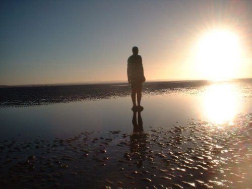
(6.8 miles, 10.9 km, direction S)Modern day Crosby straddles the Irish Sea, it is a mainly residential area with a coastline of sands - including the Blundell Sands, thus named for the Blundell family...
in the county of Merseyside
(9.4 miles, 15.1 km, direction SE)..
in the county of Lancashire
(11.6 miles, 18.7 km, direction E)Noted for its picturesque late-medieval manor house Rufford Old Hall, the village of Rufford occupies a fine setting on the fertile Lancashire Plains...

in the county of Lancashire
(11.7 miles, 18.8 km, direction N)St. Anne's has a fine sandy beach backed by grassy sand dunes and a fascinating pier, first built in 1885 and subsequently rebuilt and remodelled...
All towns in Merseyside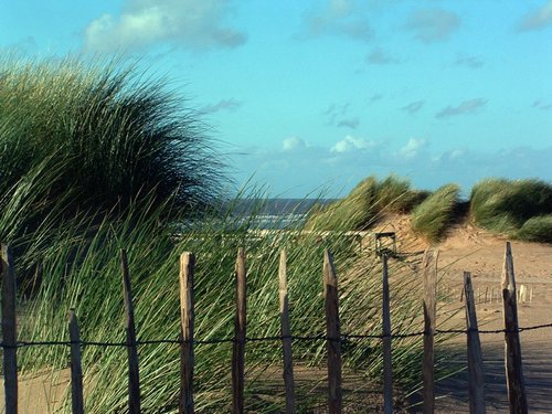
A beautiful stretch of coastline offering a large expanse of beach, sand dunes and pine woods where you can glimpse the rare but.....
..
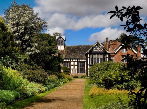
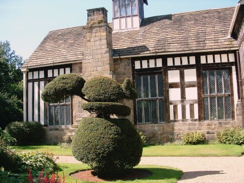
Rufford Old Hall was presented to the National Trust in 1936 by Lord Hesketh. The Old Hall is a medieval manor house of splendid.....
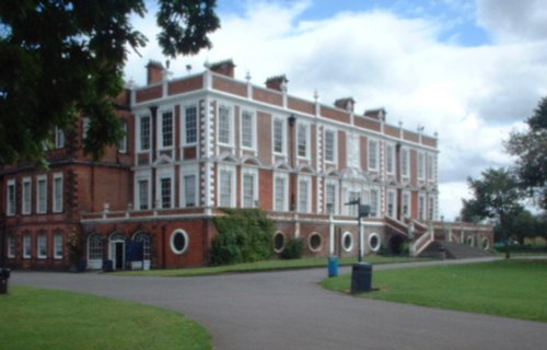
This magnificent Hall was once the home of the Molyneux family, Earls of Sefton, who were second in importance to the Earls of.....
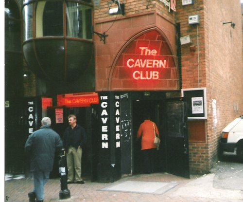
The most famous club in the world....
Enjoy this site?
Please help us stay online by making a donation today - thank you for your kind support.

Follow PicturesOfEngland.com on social media and help share the beauty of England....