This is a pleasant place which grew up along the banks of the River Witham, within site and sounds of some famous abbey's...
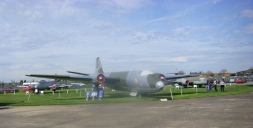
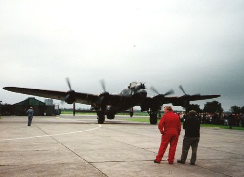
Waddington is a bustling town, its modern day history forever linked to the R.A.F of which it is justifiably proud. It's annual air show is a major event on the yearly calendar and is attended by people from all over England...
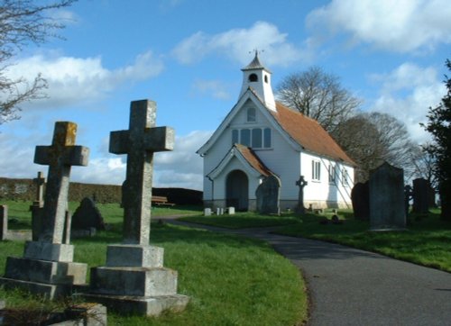
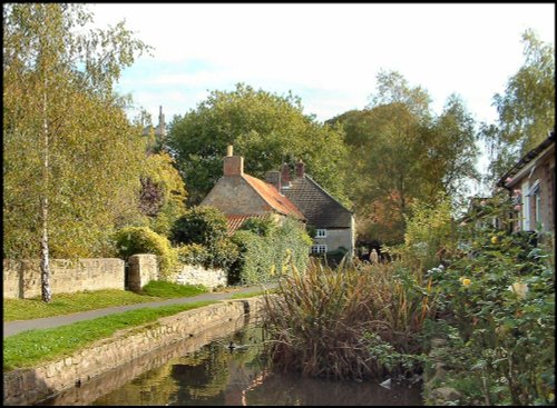
The village of Bardney lies on the eastern banks of the River Witham a short distance from Lincoln...
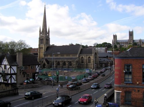
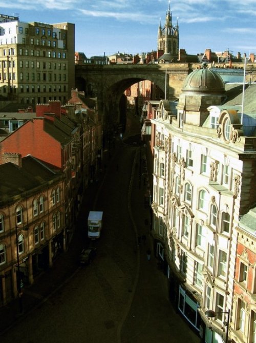
This fine cathedral City was called Lindon by the Ancient Britons' and later the Romans' knew it as Lindum. In AD48 a Roman garrison was set up to command the meeting of the.....
This is a most delightful Lincolnshire village with dreamy stone cottages, a picturesque village green, and a sparkling beck around which well fed ducks and moorhens colonise...
Looking at the huge red brick keep perched in its lofty setting the visitor is immediately struck by the strong French influences.....
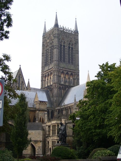
Looking at the West front of Lincoln's fine Cathedral Church of St.Mary, past the pageant of ancient buildings outside the castle.....
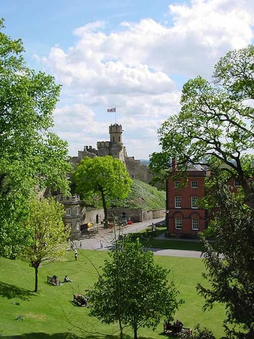
A fine Norman motte-and-bailey castle built in 1068 on the site of a former Roman fortress. It is interesting for its two.....
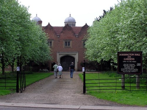
This is a superb, large Elizabethan house with a truly impressive roofline. It was built in around 1600 by Robert Smythson, with.....
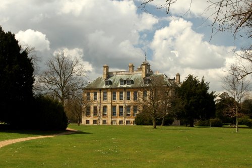
Belton is the perfect example of a home belonging to an English country gentleman, and yet it is a delightful Anglo-Dutch.....
..
..
Follow PicturesOfEngland.com on social media and help share the beauty of England....