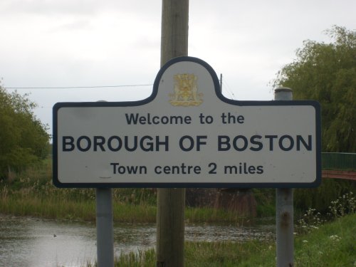
This is the town in which the Pilgrim Fathers were imprisoned in the year 1607 following their first attempt to escape to America and the cells which held them can still be seen in the 15th-century Guildhall...
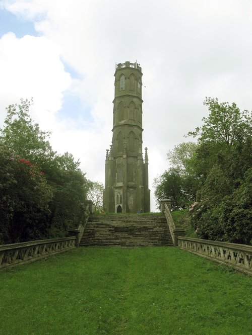
Surrounded by woodland, the pretty village of Revesby was once the home of the celebrated naturalist, Sir Joseph Banks..
This is a pleasant place which grew up along the banks of the River Witham, within site and sounds of some famous abbey's...
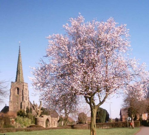
A small market town in the middle of a famous bulb growing region, there is a cluster of small streets and a central main street where the dominant feature is the church of All Saints...
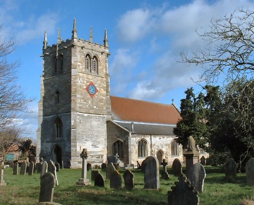
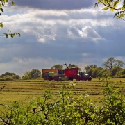
The village of Bardney lies on the eastern banks of the River Witham a short distance from Lincoln...

..
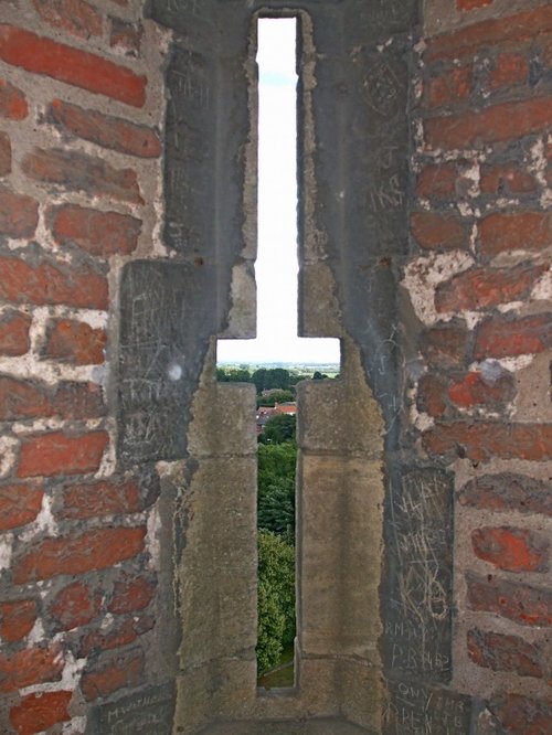
Looking at the huge red brick keep perched in its lofty setting the visitor is immediately struck by the strong French influences.....
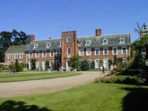
Built of a soft-pinkish brick, this long beautifully proportioned 17th century house presents a charming picture, the very.....
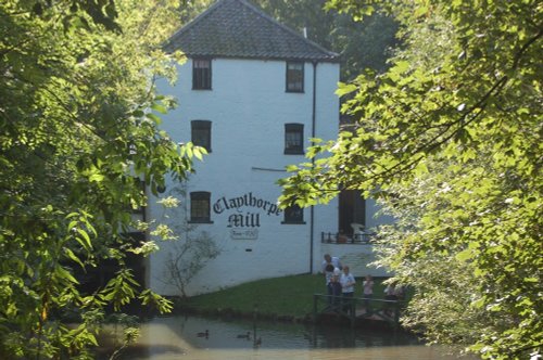
The wonderful world that is Claythorpe Water Mill and Gardens is located in lush "wold's" countryside between Claythorpe and Aby,.....
..
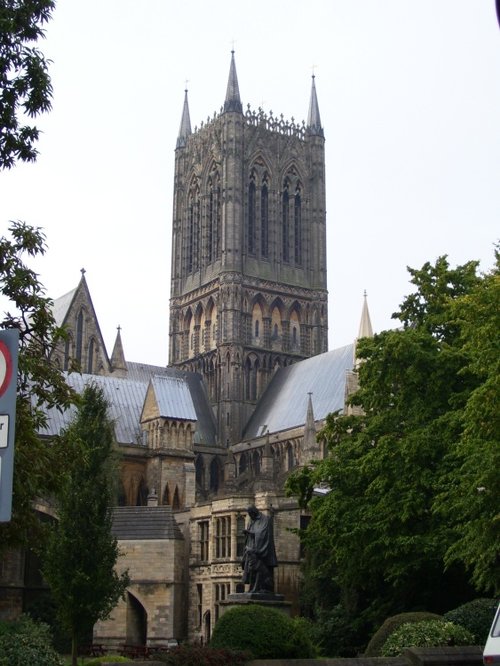
Looking at the West front of Lincoln's fine Cathedral Church of St.Mary, past the pageant of ancient buildings outside the castle.....
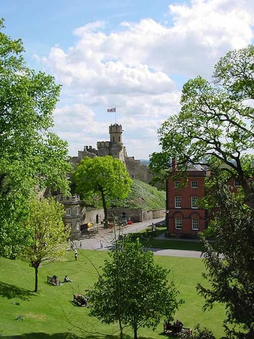
A fine Norman motte-and-bailey castle built in 1068 on the site of a former Roman fortress. It is interesting for its two.....
Follow PicturesOfEngland.com on social media and help share the beauty of England....