If you would like to add a description of Epworth, please use our Epworth forum here. To upload your Epworth photography and create your very own 'Pictures of England Gallery', click here or here to join the site and become part of the Pictures of England community, or simply see below for nearby recommended towns, attractions, and Epworth accommodation.
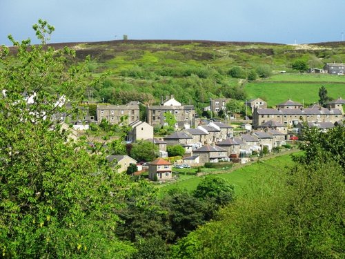
This charming hill-top village lies in spacious countryside close to the Chesterfield Canal. It shows an abundance of picturesque red-brick properties including out lying farms with ancient barns and dovecotes...

The lovely market town of Gainsborough flourishes along a sweep of the River Trent which opens up pleasant riverside walks revealing much of the areas flora and fauna as well as interesting pieces of modern sculpture...
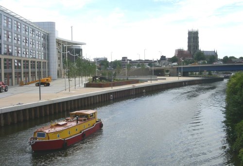
Doncaster lies in what was once a great sweep of Yorkshire coalfields. It is home to one of the finest racecourses in the country where the classic St.Leger Stakes has been run each September since 1776, making the race four years older than the Derby...
This small town appears to be almost surrounded by water, it developed along the banks of the River Aire and to the east is the Ouse...
Ingham, from its earliest dawning's at the time of the Doomsday Book has enjoyed a tranquil existence. The village lies in a lovely area between Lincoln and Gainsborough, amidst some of the shire's most stunning scenery...

Gainsborough Old Hall is one of the largest and most outstanding surviving examples of a late medieval house in the country. It.....
..
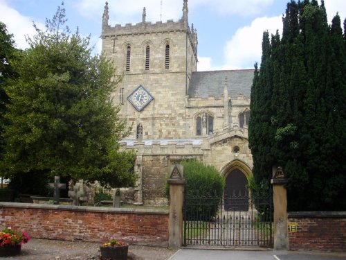
St.Georges is the Minster Church of Doncaster. It was built to a design by Sir Gilbert Scott, architect, who was instructed to.....
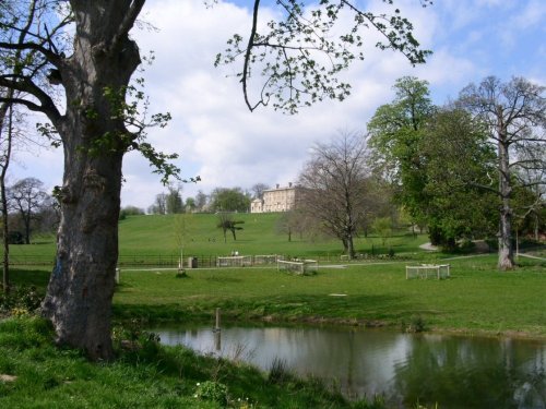
Cusworth Hall is a mid 18th century house built for the Wrightson family, with wings added later by James Paine. The house.....

The evocative remains of Roche Abbey rising from a landscape laid out by Capability Brown present an awe-inspiring sight,.....

..
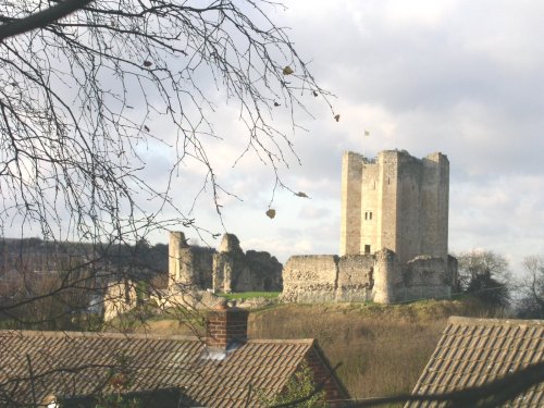
The dilapidated ruins of Conisbrough Castle make an impressive sight, particularly its keep, which is unusual in design. The.....
Enjoy this site?
Please help us stay online by making a donation today - thank you for your kind support.

Follow PicturesOfEngland.com on social media and help share the beauty of England....