a Seaside Town in the county of Lincolnshire
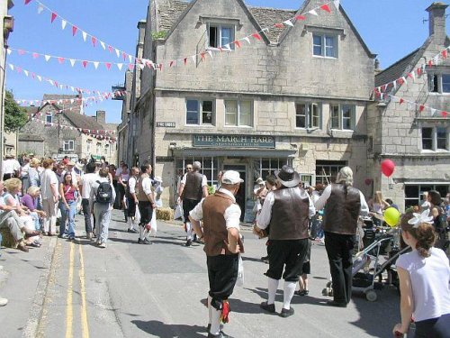
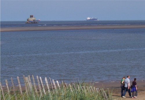
(0.8 miles, 1.3 km)Cleethorpes, is a warmly welcoming coastal resort in an area renowned for Trawlers and day trippers...
in the county of Lincolnshire
(0.9 miles, 1.5 km)This is a typical North East Lincolnshire Wolds town. It is also a coastal resort town with chalet parks reminiscent of the 1950's...
a Seaside Town in the county of Lincolnshire
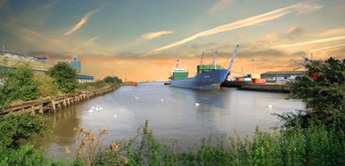
(2.8 miles, 4.5 km, direction W)The Grimsby of today is in stark contrast to the days when its fleet numbered more than 700 sea going fishing vessel's, and even more with the time when it was under the rule of invading Danes...

a Historic Market Town in the county of Lincolnshire
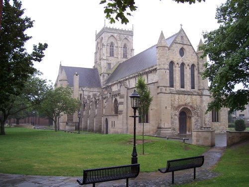
(12.4 miles, 19.9 km, direction S)Louth is a lively and interesting market town whose cattle have now been replaced with other industries and the good townspeople who for centuries were engaged in agriculture, are these days employed in business and commerce...
a Seaside Town in the county of Lincolnshire
(17.9 miles, 28.8 km, direction NW)A long narrow street of grey houses defines the character of New Holland, but there are good views up the river to the Humber Bridge, and across the river to the bustling port of Hull...
All towns in Lincolnshire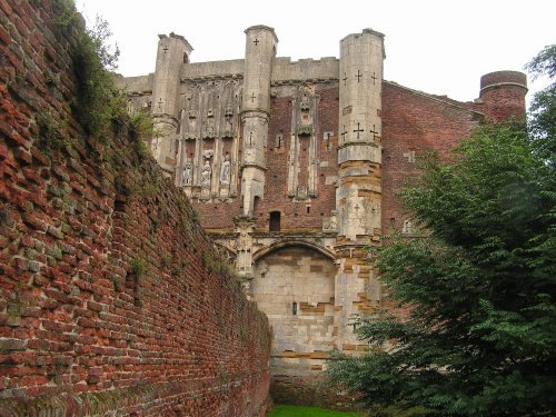
Breathtaking ruins showing clearly the medieval splendour enjoyed by the abbots in the days before the Reformation. The.....
..
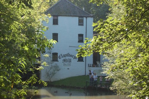
The wonderful world that is Claythorpe Water Mill and Gardens is located in lush "wold's" countryside between Claythorpe and Aby,.....
..
..
Follow PicturesOfEngland.com on social media and help share the beauty of England....