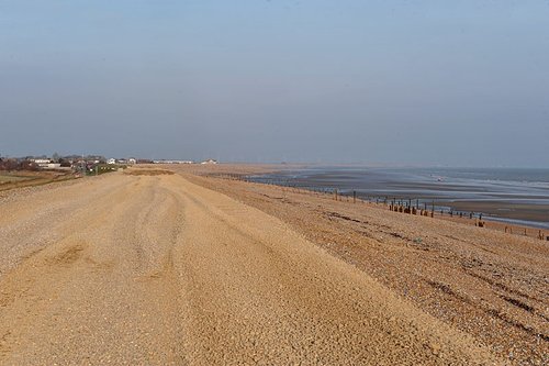
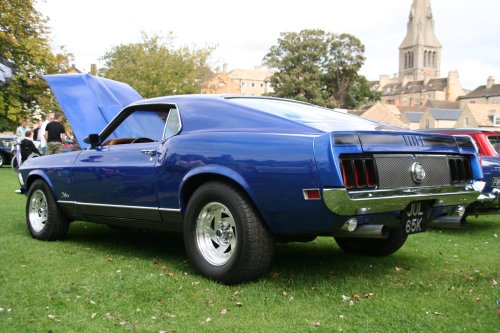
If you would like to add a description of Bourne, please use our Bourne forum here. To upload your Bourne photography and create your very own 'Pictures of England Gallery', click here or here to join the site and become part of the Pictures of England community, or simply see below for nearby recommended towns, attractions, and Bourne accommodation.
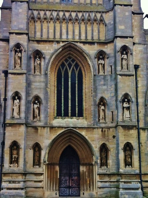
Of the 17 churches, only 6 now remain in Stamford, which is without doubt, one of the finest medieval towns in the British Isles, if not in Europe...
In springtime, the town of Spalding, in it's favoured position on the banks of the River Welland becomes a riot of blazing colour as tulips, daffodils and other glorious spring flowers come into bloom...
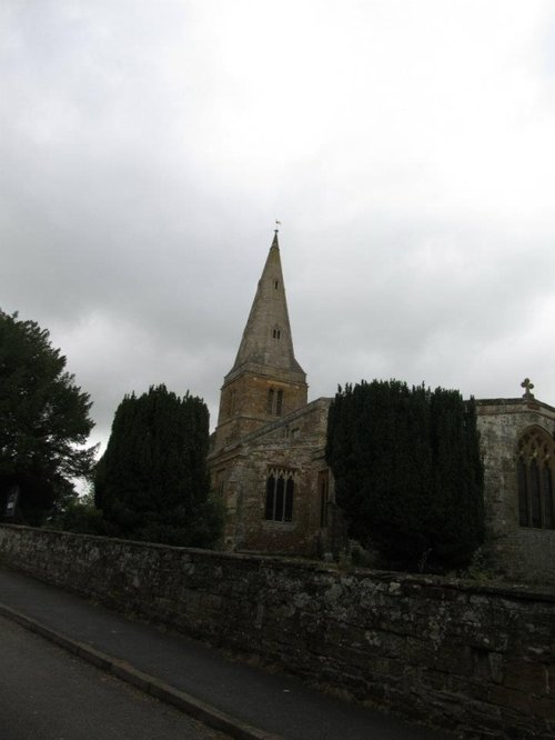
This delightful town, set on the River Witham in a spacious agricultural region is noted for many historic factors but more latterly as the birthplace of Britains first woman Primne Minister - Margaret Thatcher was born here in 1925 and she became Prime Minister in 1979...

The magic of Peterborough lies in the richness of its beautiful Cathedral. It is a glorious historical treasure house, it is unique and quite beyond compare...
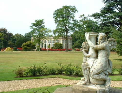
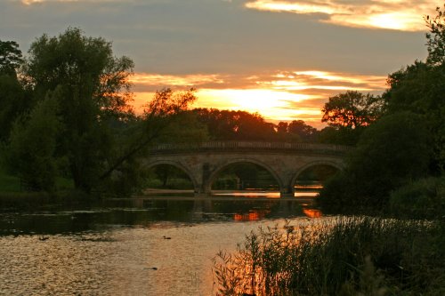
The popular village of Belton lying north of Grantham is home to magnificent Belton House. It is also a typical "Estate" village which perfectly epitomises all the values of English country life...
This is a graceful house which perfectly epitomises the wealth of the prosperous Elizabethan period. Burghley was completed in.....
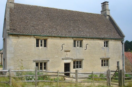
Called a manor but in reality this is the farmhouse where Isaac Newton was born in 1642. The house remains very much during.....
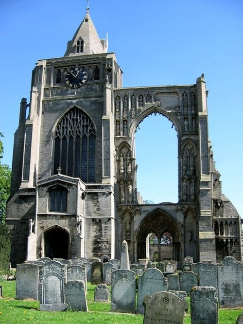
Crowland Abbey was founded in 716 by King Ethelbald, in memory of St.Guthlac who had built a cell on the Fen island. It has a.....
..

The magnificent cathedral church in Peterborough was given cathedral status by Henry VIII in 1541. Formerly it had been one of.....
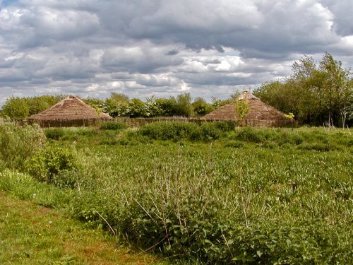
This is a wonderful heritage museum which began when the site was uncovered during excavations of 1982. It focus's on the.....

Rutland Water is the largest reservoir in England (by surface area) and one of the largest artificial lakes in Europe. Its.....
Follow PicturesOfEngland.com on social media and help share the beauty of England....