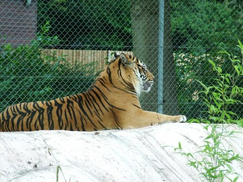
Come face-to-face with over 900 animals of more than 150 species, including some of the most endangered on our planet, at Twycross Zoo! Set in more than 80-acres, immerse yourself in some of the Zoo's fascinating exhibits including: the Borneo Longhouse, where a pathway winds through a sequence of exotic bird and animal exhibits surrounded by landscaped aquatic gardens and Uda Walawe, a Sri Lankan themed elephant walkway which gives stunning, uninterrupted views of four females Asian elephants. Last year saw the unveiling of Bush Dog and Coati Island, new Owl Aviaries and Penguin Lagoon, whilst 2013 welcomes an Amur leopard exhibit, a lemur walk-through, a giant tortoise outdoor walk-about, and SO much more! The Zoo also features its own Nature Reserve, providing a unique haven for visitors to soak up the great British wildlife our country has been blessed with! The world-class Himalaya Centre delivers fantastic food in a 300 seat all-day restaurant overlooking a Himalayan themed snow leopard enclosure; fabulous shopping, unrivalled conference facilities in Windows on the Wild and fine art in Twycross Gallery, bringing a host of fun and entertainment under one roof. Open 364 days a year from 10.00am and offering free parking; on top of daily animal talks, outdoor play areas, and gardens, Twycross Zoo boasts an action-packed calendar of events, providing everything for a wholesome, family-friendly day out! Bring out your wild side at Twycross Zoo!
a Historic Market Town in the county of Staffordshire
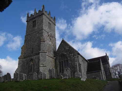
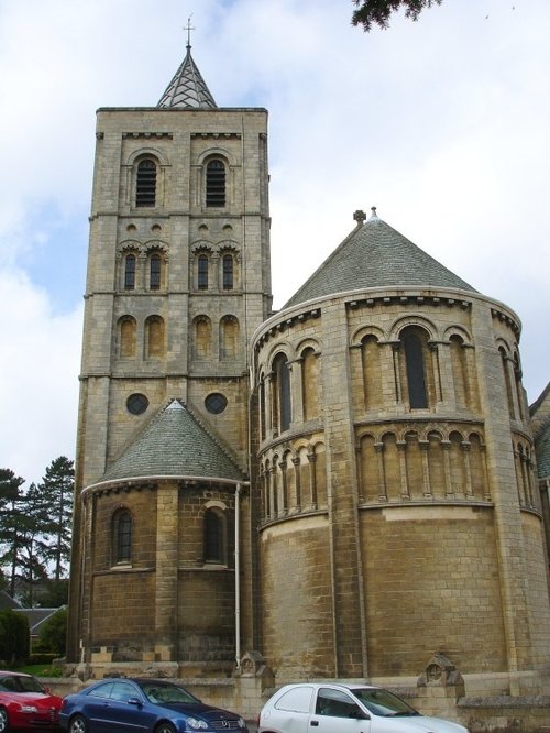
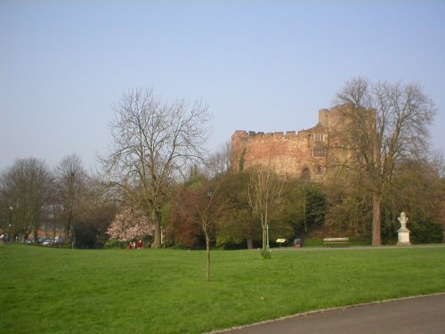
(6.9 miles, 11.1 km, direction W)In the 8th century the Saxon Kingdom of Mercia was ruled from Tamworth. Later in AD 913, a fortress was built here by the daughter of King Alfred...
a Historic Market Town in the county of Leicestershire
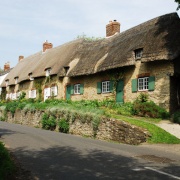
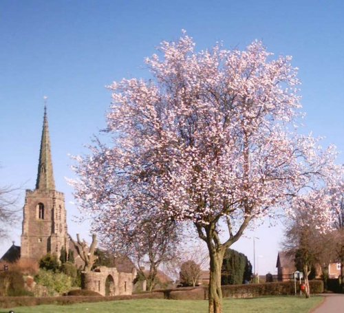
(7.2 miles, 11.5 km, direction N)This town takes its name from the La Souche family, lords of the manor from about 1160. The Norman prefix distinguishes Ashby from other towns of similar name...
in the county of Warwickshire
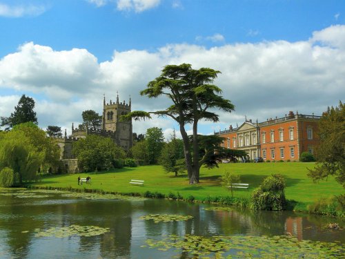
(8.8 miles, 14.2 km, direction SW)Kingsbury lies in a quiet corner of Warwickshire, it is most notable for its water-park which offers an oasis of calm for visitors escaping the hurried life of Birmingham and other nearby cities and large towns...
in the county of Leicestershire
(9.7 miles, 15.5 km, direction N)Staunton was mentioned in the Doomsday Book when it was held by Henry de Ferrers...
in the county of Leicestershire
(10.4 miles, 16.7 km, direction SE)Earl Shilton is one of the largest villages in the County of Leicestershire. It occupies a rich rural landscape between the town of Hinckley and the City of Leicester...
All towns in Leicestershire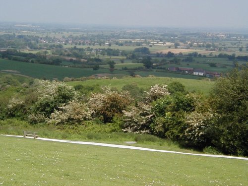
..
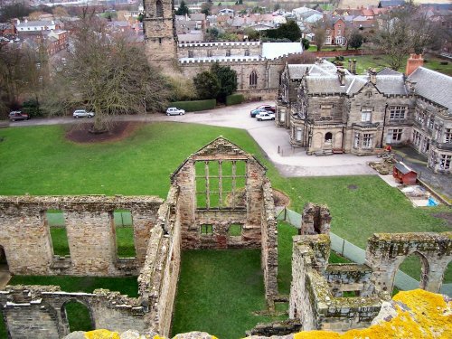
The ancient, crumbling walls of Ashby de la Zouch castle keep once rose to a towering 95ft and had four floors. It belonged to.....
..
..

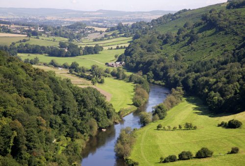
This vast landscape of lakes nestling on the eastern edge of Birmingham provides a wonderful escape from seething city life. .....
Follow PicturesOfEngland.com on social media and help share the beauty of England....