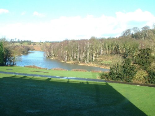
If you would like to add a description of Swannington, please use our Swannington forum here. To upload your Swannington photography and create your very own 'Pictures of England Gallery', click here or here to join the site and become part of the Pictures of England community, or simply see below for nearby recommended towns, attractions, and Swannington accommodation.
This town takes its name from the La Souche family, lords of the manor from about 1160. The Norman prefix distinguishes Ashby from other towns of similar name...

Staunton was mentioned in the Doomsday Book when it was held by Henry de Ferrers...
The joyous sound of bells made in Loughborough have been rung all over the world since 1858, the date that John Taylor of Oxford moved his foundry to Loughborough. Many famous.....
Swarkestone is a small enchanting village which grew up on the reeeded banks of the River Trent...

Rothley is a delightful village with two village greens, one is flanked by some of the country's finest timber framed houses. The village shows a graceful selection of architecture including pretty Cruck Cottages...
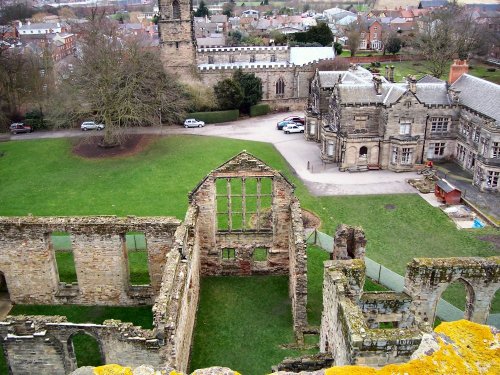
The ancient, crumbling walls of Ashby de la Zouch castle keep once rose to a towering 95ft and had four floors. It belonged to.....
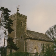
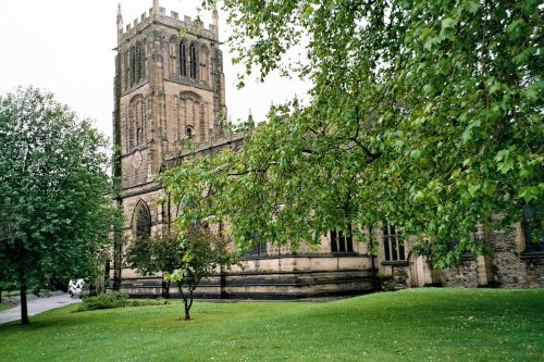
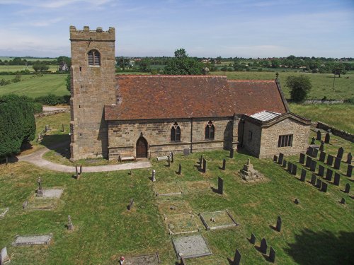
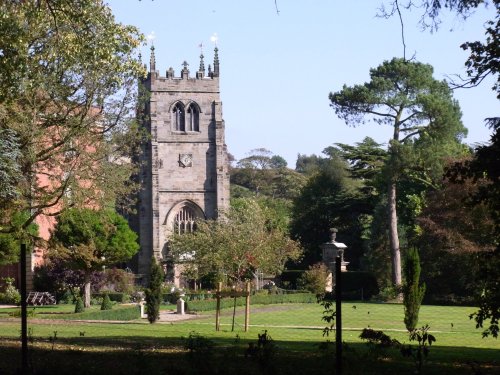
Imposing church built in 1653, with fine panelled interior, set in attractive parkland...
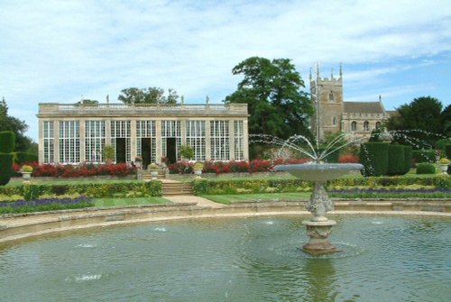
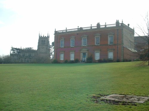
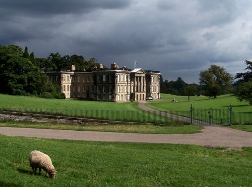
This is said to be one of the most delightful country houses in Leicestershire, it was the former home of the Ferrers family who.....
..
Calke Abbey was built between 1701-1703. The building, in the Baroque style, was built for Sir John Harpur. It is an.....
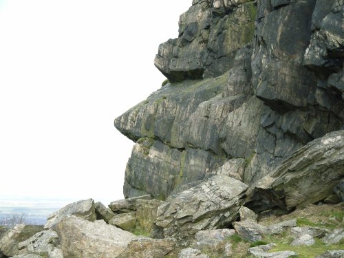
The second highest point in Leicestershire at 245m (802 feet) and containing a Bronze Age hill fort, Beacon Hill Country Park.....
..
Follow PicturesOfEngland.com on social media and help share the beauty of England....