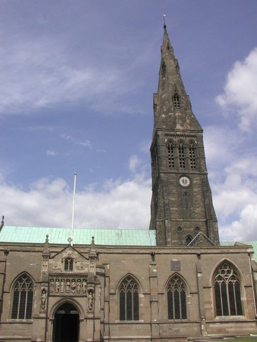
Leicester is famed amongst other things for its fine parish church which was raised to Cathedral status in 1927...

Rothley is a delightful village with two village greens, one is flanked by some of the country's finest timber framed houses. The village shows a graceful selection of architecture including pretty Cruck Cottages...
The joyous sound of bells made in Loughborough have been rung all over the world since 1858, the date that John Taylor of Oxford moved his foundry to Loughborough. Many famous.....
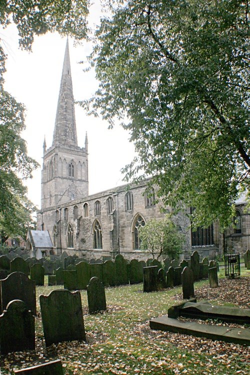
Earl Shilton is one of the largest villages in the County of Leicestershire. It occupies a rich rural landscape between the town of Hinckley and the City of Leicester...
This town takes its name from the La Souche family, lords of the manor from about 1160. The Norman prefix distinguishes Ashby from other towns of similar name...
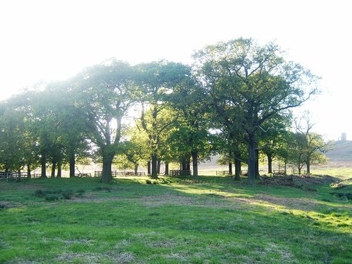
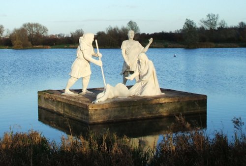
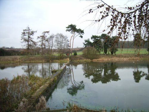
Comprising of 850 acres of land with roaming deer, Bradgate Park is Leicestershire's largest and most popular country.....
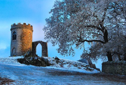
Standing on a hill overlooking Bradgate Park, Old John Tower folly.....
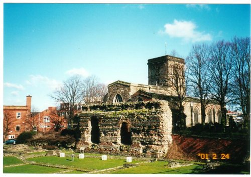
This is Leicester's leading Museum of Archaeology, showing an extensive range Roman finds as well as other unique historic relics.....
..
..
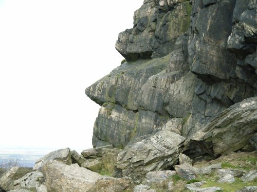
The second highest point in Leicestershire at 245m (802 feet) and containing a Bronze Age hill fort, Beacon Hill Country Park.....
..
Enjoy this site?
Please help us stay online by making a donation today - thank you for your kind support.

Follow PicturesOfEngland.com on social media and help share the beauty of England....