If you would like to add a description of Whitewell, please use our Whitewell forum here. To upload your Whitewell photography and create your very own 'Pictures of England Gallery', click here or here to join the site and become part of the Pictures of England community, or simply see below for nearby recommended towns, attractions, and Whitewell accommodation.
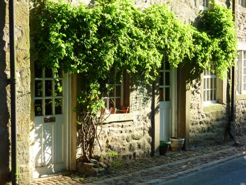
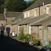
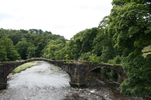
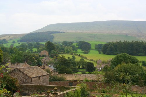
An eye catching place with a pretty village green and a scattering of stone cottages set in an idyllic spot on the banks of the River Hodder...
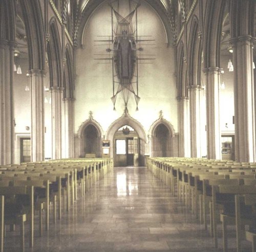
This pretty Lancastrian villages the setting for historic Stoneyhurst, a noted school which was founded in the 16th-century...
The picturesque village of Scorton lies to the west of the Bowland Forest beneath the shadow of Calder Fell, in an area much famed for its sparkling streams, fells and forest glades inhabited by wildlife...
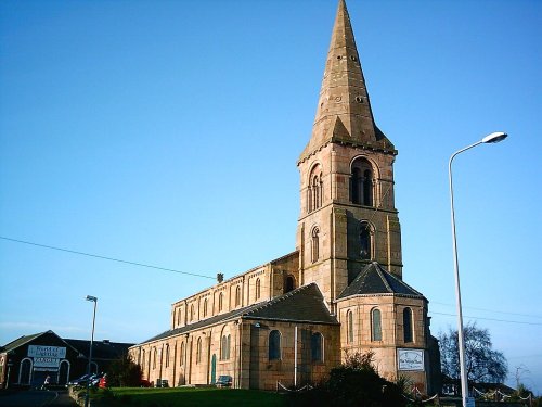
This is a large, typical Lancashire village lying close to the urban sprawl of Blackburn and Accrington...
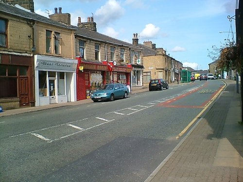
This is the town that was at the centre of the cotton spinning industry for well over a hundred and fifty years. ..
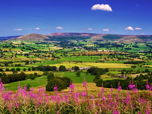
This high region of grouse moor and high fells crossed with deep narrow valley's was once a hunting ground of Saxon King's. It.....
..

..
..

..
..
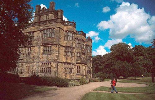
Gawthorpe Hall, home of the Shuttleworth family for several centuries lies close to the traditional Lancastrian market town of.....
Enjoy this site?
Please help us stay online by making a donation today - thank you for your kind support.

Follow PicturesOfEngland.com on social media and help share the beauty of England....