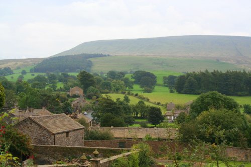
This pretty Lancastrian villages the setting for historic Stoneyhurst, a noted school which was founded in the 16th-century...
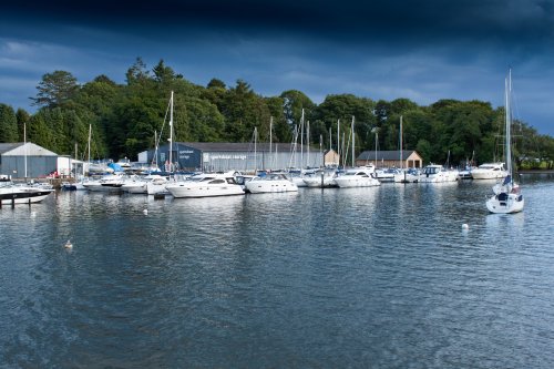
A wonderful market town in the Yorkshire Dales. Settle is the starting point for the famous Settle to Carlisle Railway; one of Britain's most spectacular and scenic railways which.....
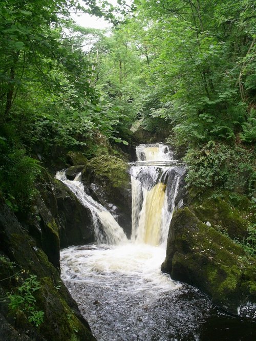
Ingleton thrives as a centre for those who take pleasure in exploring the vast underworld to be discovered beneath the limestone hills of this glorious scenic region...
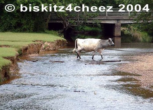
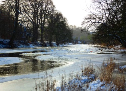
The picturesque village of Scorton lies to the west of the Bowland Forest beneath the shadow of Calder Fell, in an area much famed for its sparkling streams, fells and forest glades inhabited by wildlife...
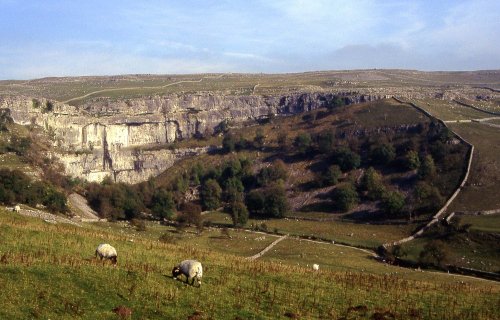
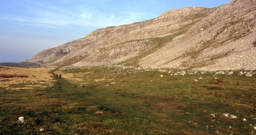
High on the moors and dales of Yorshire, lies the wild and desolate place of Malham....
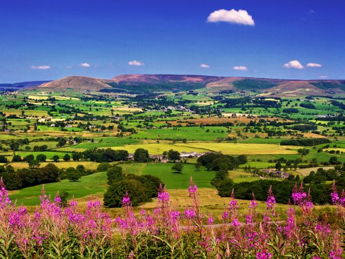
This high region of grouse moor and high fells crossed with deep narrow valley's was once a hunting ground of Saxon King's. It.....

..
..
..
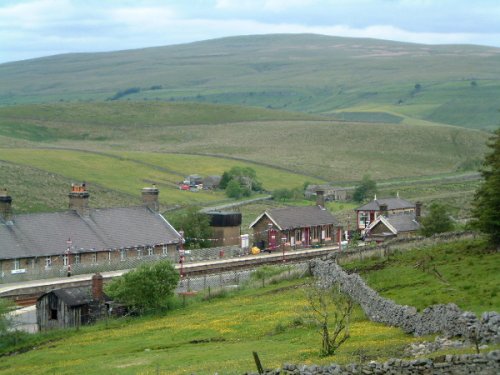
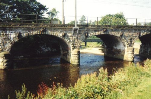
This spectacular train journey could easily be the most scenic train trip in the whole of the UK. The route is part of National.....
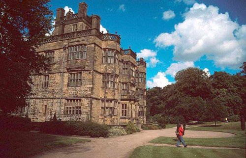
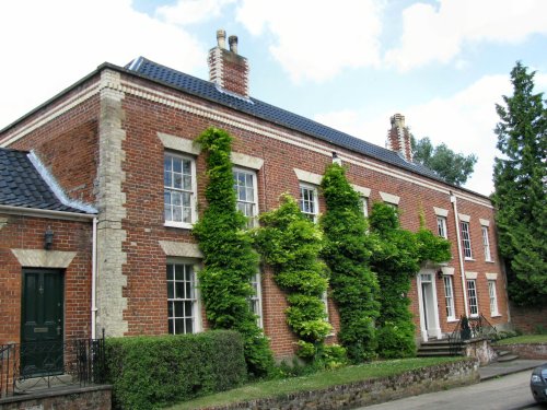
Gawthorpe Hall, home of the Shuttleworth family for several centuries lies close to the traditional Lancastrian market town of.....
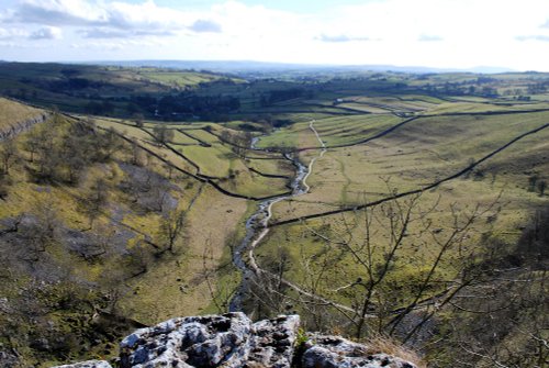
A natural limestone formation which is a national beauty spot, near Malham, North Yorkshire..
Enjoy this site?
Please help us stay online by making a donation today - thank you for your kind support.

Follow PicturesOfEngland.com on social media and help share the beauty of England....