This pretty Lancastrian villages the setting for historic Stoneyhurst, a noted school which was founded in the 16th-century...

It was here that James I created "Sirloin" when he supposedly knighted his beef!..
This is a large, typical Lancashire village lying close to the urban sprawl of Blackburn and Accrington...
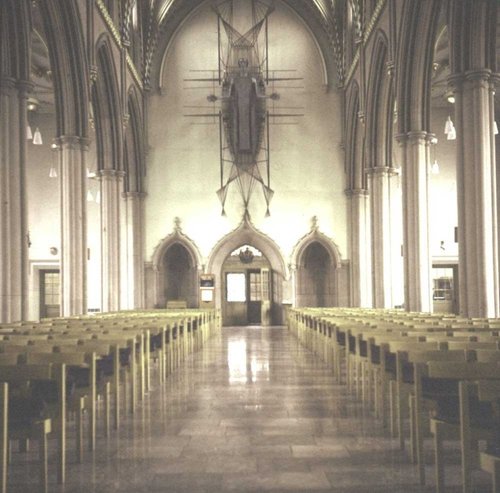
This is the town that was at the centre of the cotton spinning industry for well over a hundred and fifty years. ..
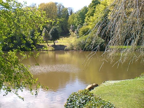
An eye catching place with a pretty village green and a scattering of stone cottages set in an idyllic spot on the banks of the River Hodder...

..
..

..
..
..
..
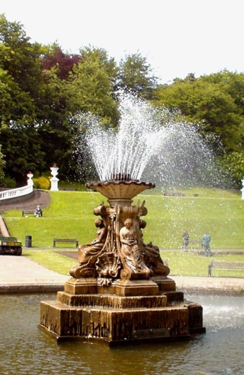
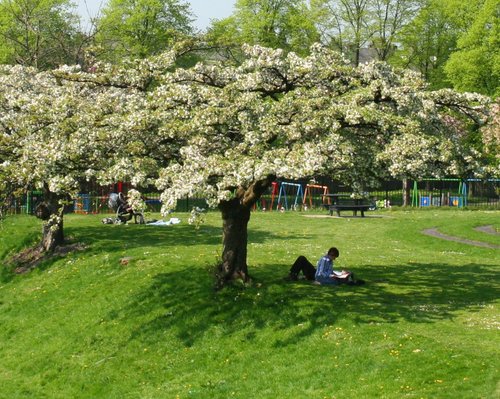
The name of this spacious green park situated at Darwen in Lancashire epitomises the endeavour of the local borough engineer who.....
Enjoy this site?
Please help us stay online by making a donation today - thank you for your kind support.

Follow PicturesOfEngland.com on social media and help share the beauty of England....