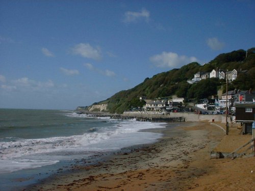
Ventnor is often called the Madeira of England and the reason for this is the 6 mile undercliff, an overhanging ledge formed by landslides, beneath which palms and tropical plants grow in great profusion...
This is a busy and popular seaside town with cliffs rising in places to a height of around 150ft, the lower slopes lead down to the beach which opens up to a delightful bay...
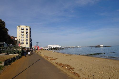
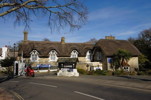
Sandown was developed as a resort town during the Victorian era, many fine properties remain from these heady romantic times during which some quite famous people descended upon the town...
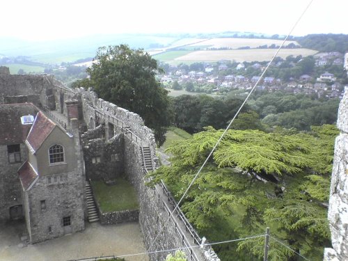
Carisbrooke sits close to Newport on the lovely Isle of Wight...

County Town, being sited on the River Medina, about 5 miles from the sea. Despite its name, the town became the 'New Port' and was given its charter by Richard de Revers, Lord of the Island, as early as 1180...
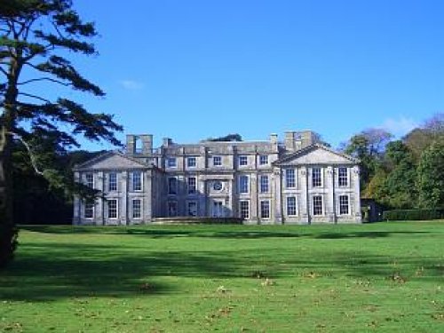
This marvellous, romantic ruin was once one of the finest 18th century mansions on the Isle of Wight. The building, in a.....
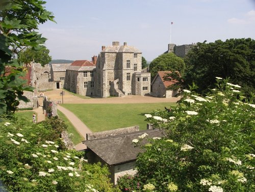
The castle is where the Roundheads kept King Charles I a prisoner from 1647 until shortly before his execution on 30 January.....
..

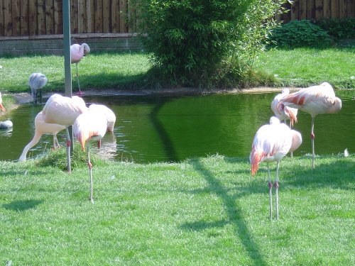
The Isle of Wight Zoo is a popular attraction located on the Isle of Wight, off the southern coast of England. Situated near the.....
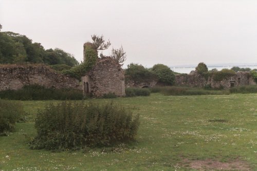
The ruins of Quarr Abbey can be found close to the entrance of Wooten Creek, a pretty waterway used by small fishing boats and.....
..
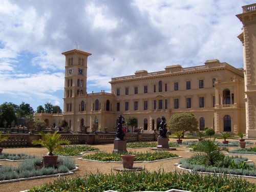
It is often said, in spite of the fact Queen Victoria spent much of her time at Balmoral in the Scottish highlands, that Osborne.....
Enjoy this site?
Please help us stay online by making a donation today - thank you for your kind support.

Follow PicturesOfEngland.com on social media and help share the beauty of England....