Hoddesdon is an ancient market town located in a spacious area of Hertfordshire close to its boundary with Essex...
Queen Elizabeth 1st was a frequent visitor to Epping. It was in 1575 on a visit to Thomas Heneage at Copped Hall that the Queen costituted him Clerk of the Market with his heirs forever, she also granted further market rights...
Hatfield is a town with two histories. There is the history of the ancient market town whose roots are firmly embedded in Saxon times, and the modern-day history of a town that grew to meet the demands of the housing population...
..
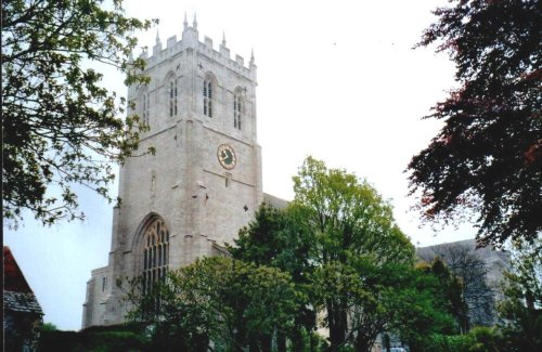
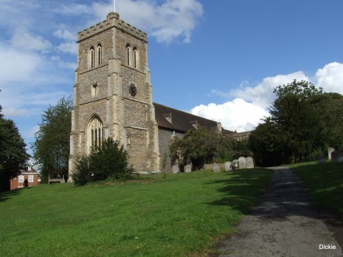
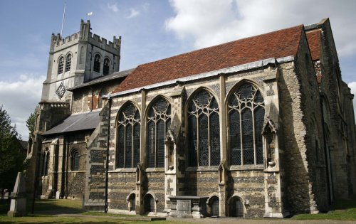
There are many interesting places to visit including St.Michael's Church which is exceptionally spacious and has a spire that can been seen for miles around...
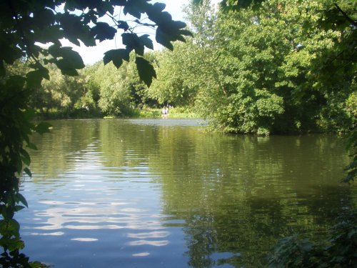
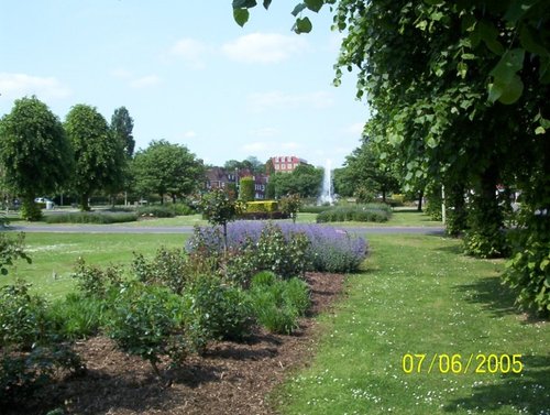
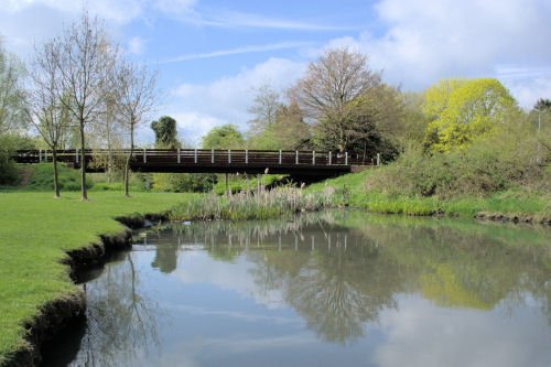
A 26 mile long stretch following the river Lee, the Lee Valley Park is made up of country parks, heritage sites, lake and.....
..
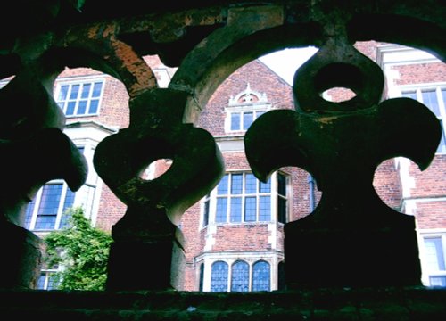
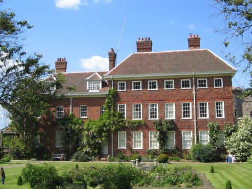
Hatfield House built by Robert Cecil 1st Earl of Salisbury and Chief Minister to King James I in 1611, stands within its own.....
..
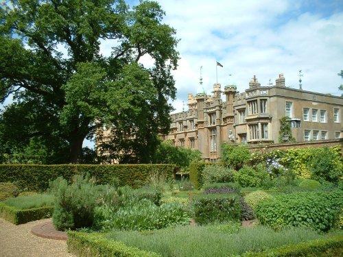
One of England's most beloved stately homes, Knebworth House is famous worldwide for its rock concerts and as the home of.....
..
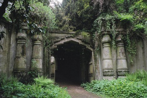
London's famous victorian Cemetery..
Enjoy this site?
Please help us stay online by making a donation today - thank you for your kind support.

Follow PicturesOfEngland.com on social media and help share the beauty of England....