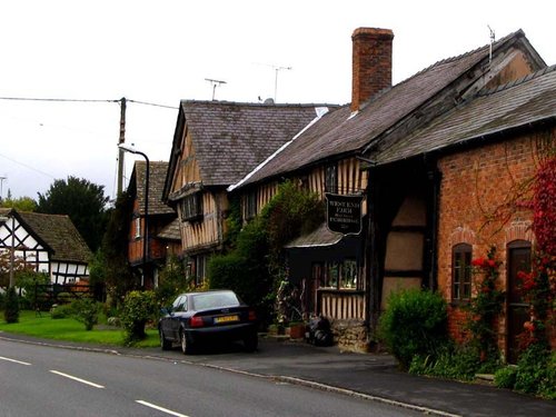
Pembridge, is one of the prettiest villages in Herefordshire, it is thrice blessed for it stands in a trio of black and white villages famed for an abundance of quaint cottages and graceful houses...
Hay-on-Wye, as its name implies is picturesquely situated on the River Wye at a point where Herefordshire meets with the border of Wales..
Fine wool has been produced here in this gentle country town since the 13th century and owing to the close proximity of the county town of Hereford and the rich farmland that abounds throughout this lovely area, prized Hereford cattle are bred here for exportation to countries all over the world...

Rising at the side of the River Clun from which the town takes its name, this charming little place offers much of interest...
Overton lies on a bend of the River Test a short distance from Ludlow...
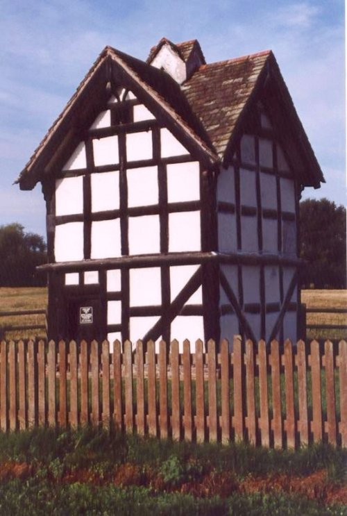
Luntley Court and Dovecote. A 15-16th century house with Dovecote..
..
..
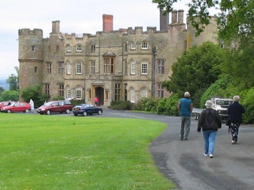
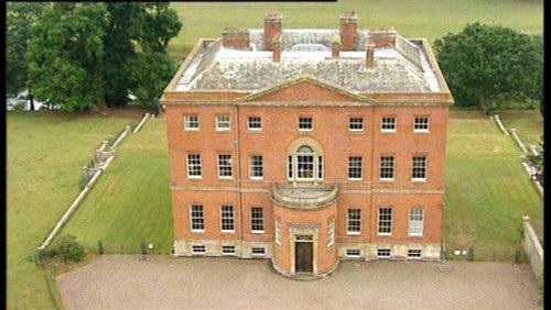
Castellated manor house set in stunning countryside with panoramic views...
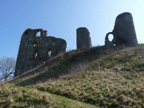
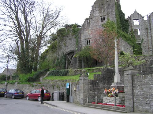
Late in the 12th-century, the wooden fortification built at Clun in the 11th-century was burnt down by the Welsh. The land then.....

Hereford Cathedral is a grade1 listed building, The oldest part - the bishop's chapel - dating to the 11th century, though the.....
Information Coming Soon..
Enjoy this site?
Please help us stay online by making a donation today - thank you for your kind support.

Follow PicturesOfEngland.com on social media and help share the beauty of England....