The clogs and black smoke image of Bolton has long since gone, in its place is a fine city with beautiful buildings and a diverse range of attractions sufficient to satisfy the most demanding tourist...
This is a large, typical Lancashire village lying close to the urban sprawl of Blackburn and Accrington...
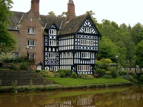
Just 20 minutes car journey away from the center of Manchester is the historic town of Worsley, which is best known for its scenic walks along the historic Bridgewater canal......
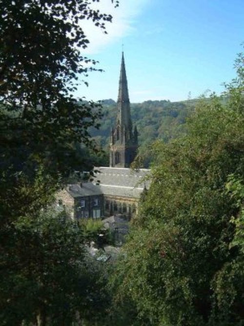
Todmorden lies on the historic border between Yorkshire and Lancashire in an area of the Calder Valley ringed by the hills of the Pennines...
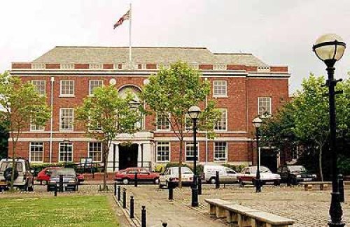
The City of Salford lies at the heart of the Metropolis known as Greater Manchester in an area where cotton was once king and its mill workers were portrayed for posterity by acclaimed 20th-century artist L.S.Lowry...
..
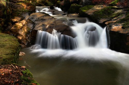
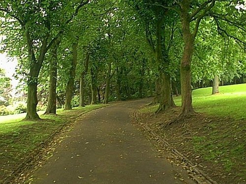
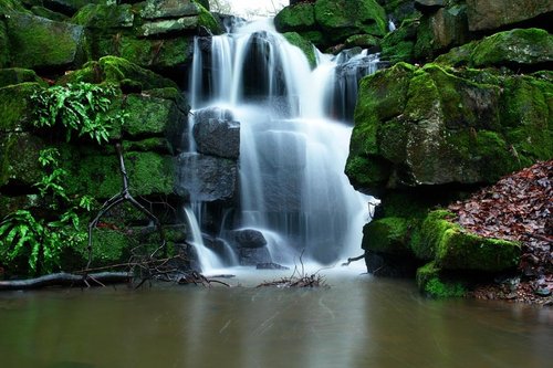
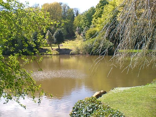
Healey Dell Nature Reserve on the Whitworth - Rochdale border, sits in a picturesque part of the Spodden Valley. Rich with flora.....
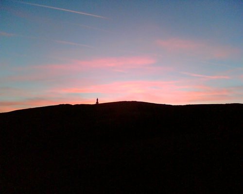
An observation tower circa 1897Standing at 86ft high, apparently you can sometimes see the Welsh Hills from it on a very clear.....
..
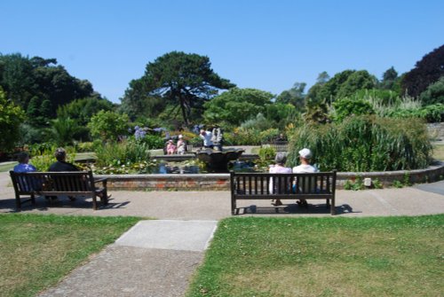
The name of this spacious green park situated at Darwen in Lancashire epitomises the endeavour of the local borough engineer who.....
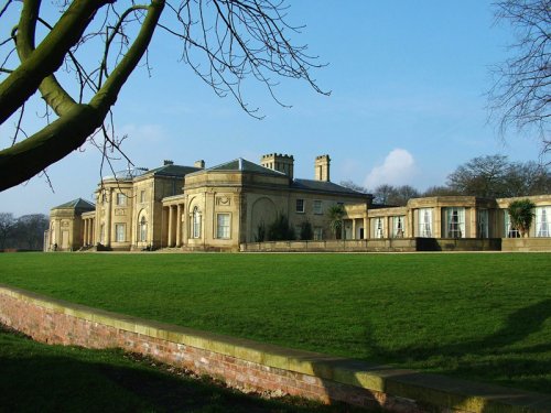
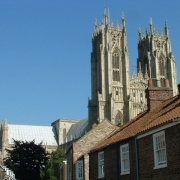
This divine house is a masterpiece of James Wyatt, one of the greatest architects to come out of the 18th century. It was built.....
..
Enjoy this site?
Please help us stay online by making a donation today - thank you for your kind support.

Follow PicturesOfEngland.com on social media and help share the beauty of England....