Please login or click here to join.
Forgot Password? Click Here to reset pasword
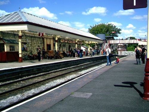
If you would like to add a description of Lower Place, please use our Lower Place forum here. To upload your Lower Place photography and create your very own 'Pictures of England Gallery', click here or here to join the site and become part of the Pictures of England community, or simply see below for nearby recommended towns, attractions, and Lower Place accommodation.
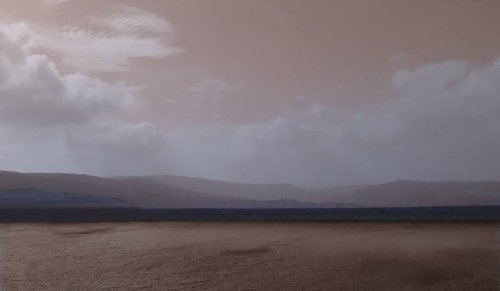
The countryside surrounding the town offers lakes, woods and hills, with distant Winter Hill rising to a height of 456 feet...
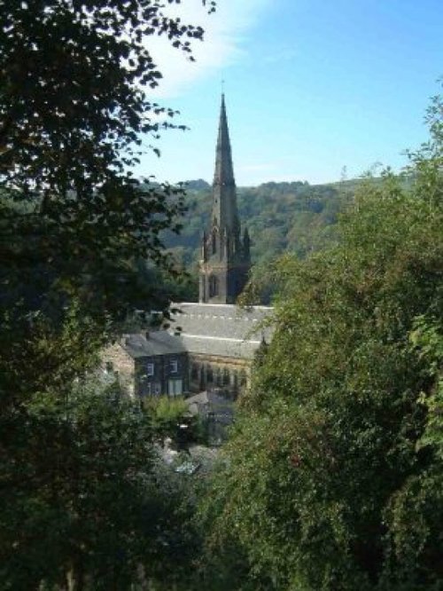
Todmorden lies on the historic border between Yorkshire and Lancashire in an area of the Calder Valley ringed by the hills of the Pennines...
Marsden offers visitors a wealth of heritage, particularly in association with the town's expansion which came about during the heady days of the Industrial Revolution...

Audenshaw is a suburb of Greater Manchester. It is probably best known for its reservoirs and the busy waters of the Ashton canal, beside which visitors can see clusters of delightful canal-side properties...
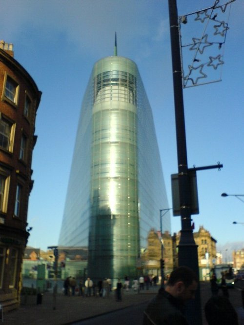
A thriving truly cosmopolitan city with a great mixture of new and old. The capital of the north..
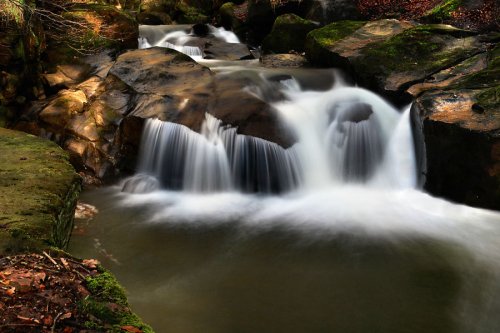
Healey Dell Nature Reserve on the Whitworth - Rochdale border, sits in a picturesque part of the Spodden Valley. Rich with flora.....
..
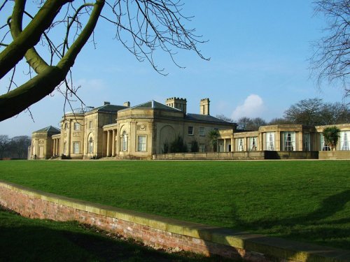
This divine house is a masterpiece of James Wyatt, one of the greatest architects to come out of the 18th century. It was built.....
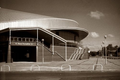
Manchester Velodrome Britains primary indoor Olympic cycle track and widely regarded as one of the world's finest and fastest.....
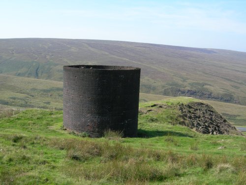
Marsden Moor was gifted to the National Trust in 1955 by Captain Sir Joseph Benedict Everard Henry Radcliffe in lieu of death.....
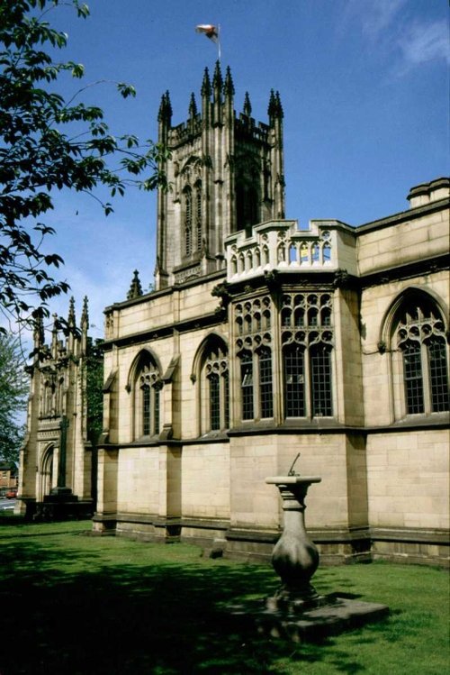
Manchester's fine 15th-century church of St.Mary was raised to cathedral status in 1848. It is a magnificent example of.....
Urbis is Manchester’s Centre for Urban Culture and explores Urban culture in the cities of today and tomorrow through four.....
Follow PicturesOfEngland.com on social media and help share the beauty of England....
