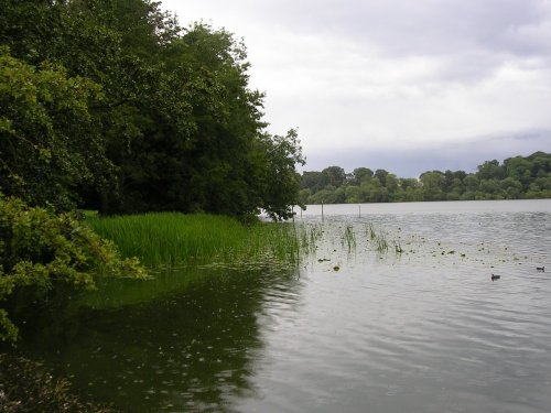
Audenshaw is a suburb of Greater Manchester. It is probably best known for its reservoirs and the busy waters of the Ashton canal, beside which visitors can see clusters of delightful canal-side properties...
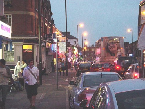
A thriving truly cosmopolitan city with a great mixture of new and old. The capital of the north..
The City of Salford lies at the heart of the Metropolis known as Greater Manchester in an area where cotton was once king and its mill workers were portrayed for posterity by acclaimed 20th-century artist L.S.Lowry...

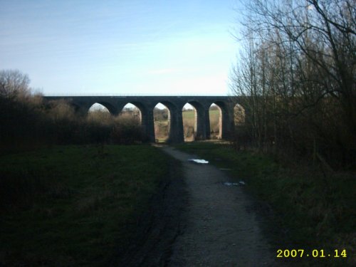
Marple has many splendid canal features from the past, these include a flight of 16 locks and a three arched aqueduct which takes the Peak Forest canal over the River Goyt...
First developed as a quiet hamlet on the edge of the sweeping Cheshire Plain, where life went quietly on...
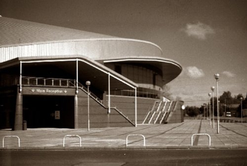
Manchester Velodrome Britains primary indoor Olympic cycle track and widely regarded as one of the world's finest and fastest.....
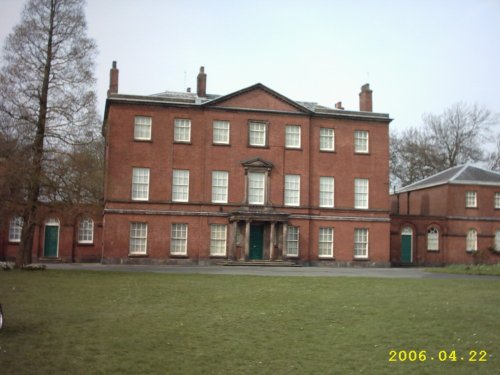
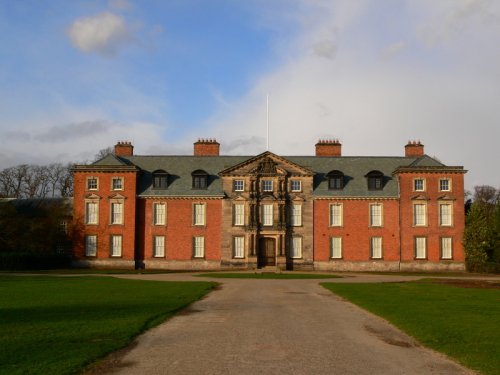
This is a pleasant russet brick house built by Timothy Lightoler in the Mid 18th-century. The interior contains one of the most.....
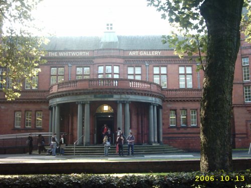
Internationally famous for its collections of art and design, the Whitworth Art Gallery in Manchester, north west England, is.....
..

Manchester Art Gallery houses one of the UK's finest art collections in spectacular surroundings. The Gallery has recently.....
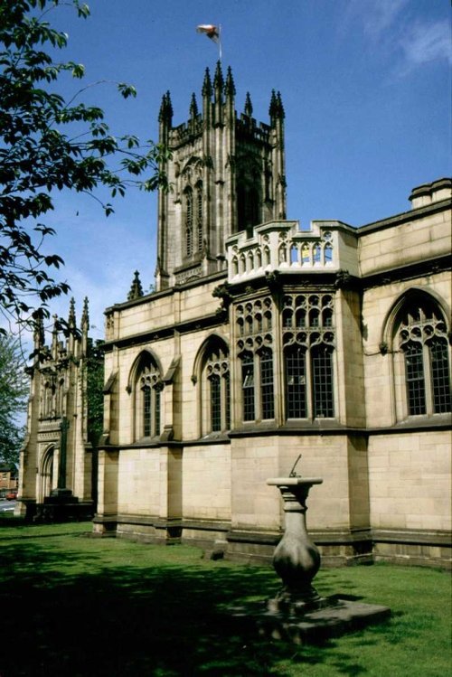
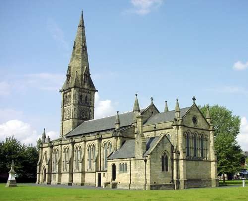
Manchester's fine 15th-century church of St.Mary was raised to cathedral status in 1848. It is a magnificent example of.....
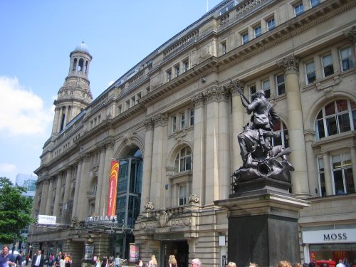
Manchester's leading producing theatre company, based in the historic splendour of the Victorian cotton exchange building...
Follow PicturesOfEngland.com on social media and help share the beauty of England....