Please login or click here to join.
Forgot Password? Click Here to reset pasword
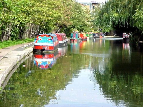
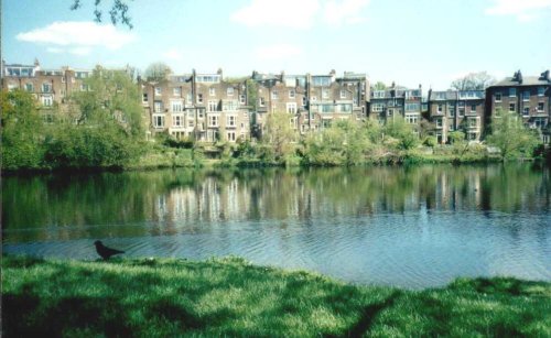
If you would like to add a description of Tottenham Hale, please use our Tottenham Hale forum here. To upload your Tottenham Hale photography and create your very own 'Pictures of England Gallery', click here or here to join the site and become part of the Pictures of England community, or simply see below for nearby recommended towns, attractions, and Tottenham Hale accommodation.
Camden town is a vibrant cosmopolitan region of London...
The name of the area is taken from the boy martyred in AD 304. Pancras was the orphaned Christian son of a Phrygian nobleman who was brought up at the court of the Emperor in Rome...
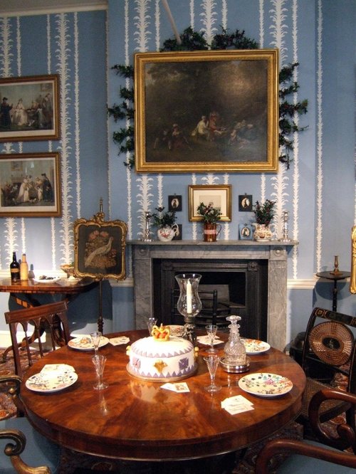
Marylebone is one of London's more affluent area's, it is home mostly to the well to do, and yet only a couple of centuries ago a large workhouse was built here to give shelter to the poor and homeless, often foundlings were discovered on the workhouse doorstep...
London is one of the top cities in the world, full of history and so many beautiful and fascinating places to visit.You will never tire of all the many fascinating and exciting.....
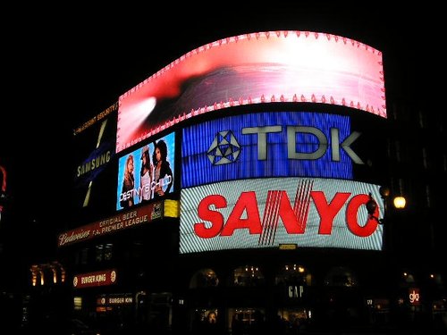
One of the Capital's most noted places, Piccadilly sweeps uphill with handsome houses on one side and Green Park on the other...
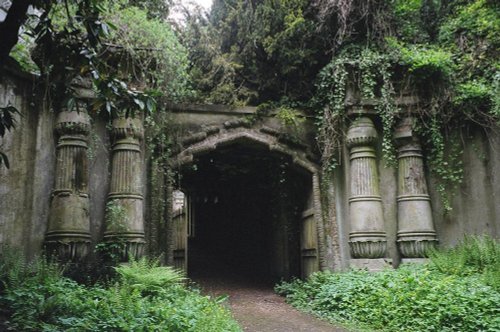
London's famous victorian Cemetery..
..
A fascinating group of historic industrial buildings which include the House Mill, the largest tidal mill left standing in.....
This marvellous richly planted seemingly unending open area is one of London's favourite places. It was formerly the grounds of.....
..

Since opening its doors to the public in 1847 London Zoo has become the most famous zoo in the world. With over 650 species, an.....
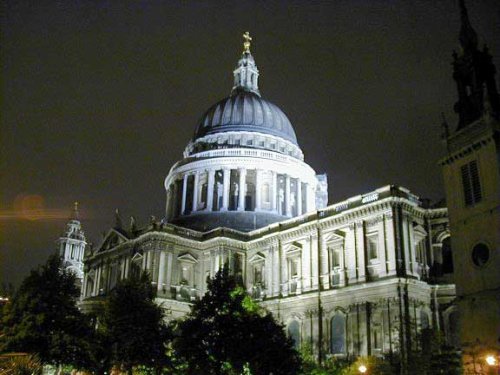
St Paul's Cathedral is the largest cathedral in England and is the masterpiece of Sir Christopher Wren, whos plans were finally.....
Follow PicturesOfEngland.com on social media and help share the beauty of England....
