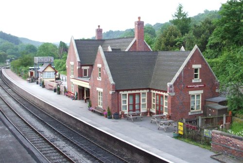
If you would like to add a description of Stratford, please use our Stratford forum here. To upload your Stratford photography and create your very own 'Pictures of England Gallery', click here or here to join the site and become part of the Pictures of England community, or simply see below for nearby recommended towns, attractions, and Stratford accommodation.
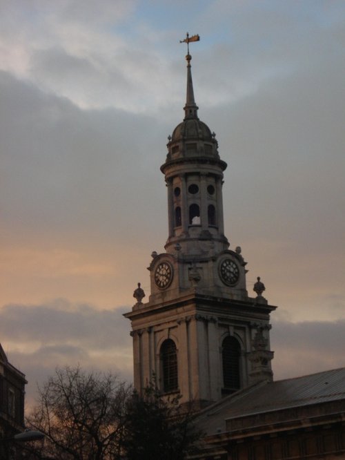
The might of british sea-power and the historic town of Greenwich are inseparable. Two famous English sea-faring vessels are here, one is the Cutty Sark, a famous old clipper that shipped tea from China in the 19th-century, and the other, from the 20th-century is Gypsy Moth 1V, sailed round the world by Sir Francis Chichester...
The name of the area is taken from the boy martyred in AD 304. Pancras was the orphaned Christian son of a Phrygian nobleman who was brought up at the court of the Emperor in Rome...

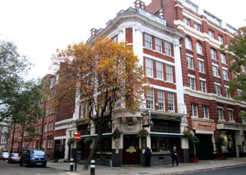
London is one of the top cities in the world, full of history and so many beautiful and fascinating places to visit.You will never tire of all the many fascinating and exciting.....
Camden town is a vibrant cosmopolitan region of London...

Of all the jewels in the City of Westminster, none shines more brightly than Westminster Abbey, stunning setting for the coronation of almost every English monarch since William the Conqueror was crowned there in 1066...
A fascinating group of historic industrial buildings which include the House Mill, the largest tidal mill left standing in.....
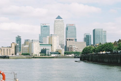
This is London's newest and brightest business district. It offers luxurious office buildings with up to the minute facilities,.....
..
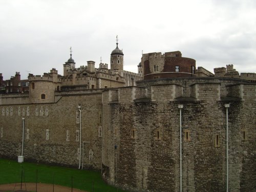
Historic epicentre of might and majesty, the tower has a history without parallel anywhere else in the world. With its icy past.....
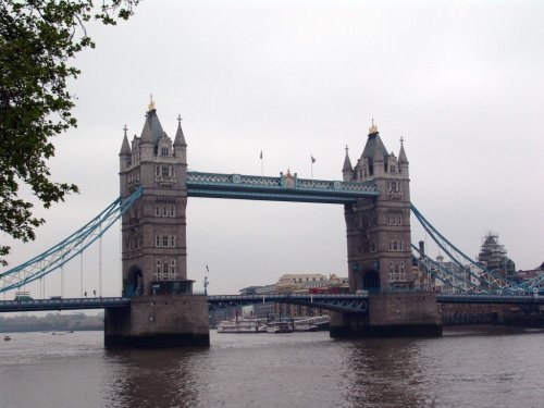
London Tower Bridge was completed in 1894. It is a beautiful piece of Victorian engineering and is one of the many symbols of.....
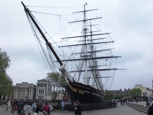
The Cutty Sark is the only surviving extreme clipper in the world. She now sits in dry dock and is one of the great sights of.....
..
Follow PicturesOfEngland.com on social media and help share the beauty of England....