Please login or click here to join.
Forgot Password? Click Here to reset pasword
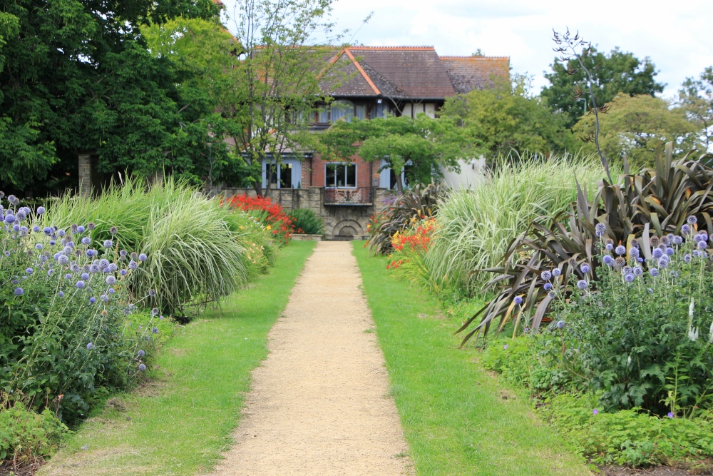
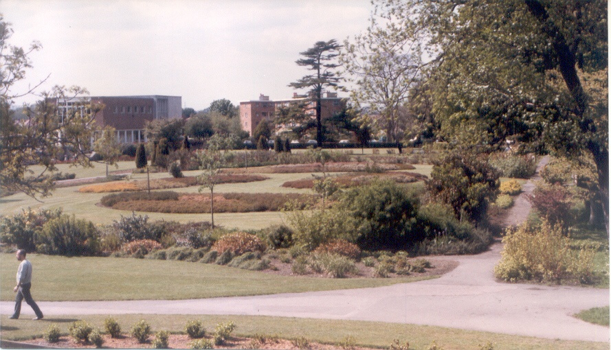
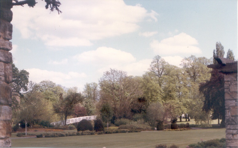
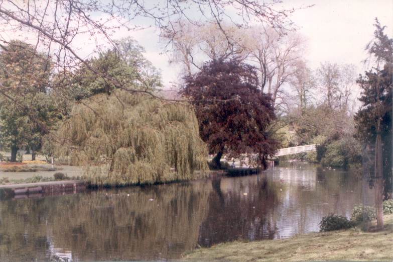
If you would like to add a description of Beddington, please use our Beddington forum here. To upload your Beddington photography and create your very own 'Pictures of England Gallery', click here or here to join the site and become part of the Pictures of England community, or simply see below for nearby recommended towns, attractions, and Beddington accommodation.
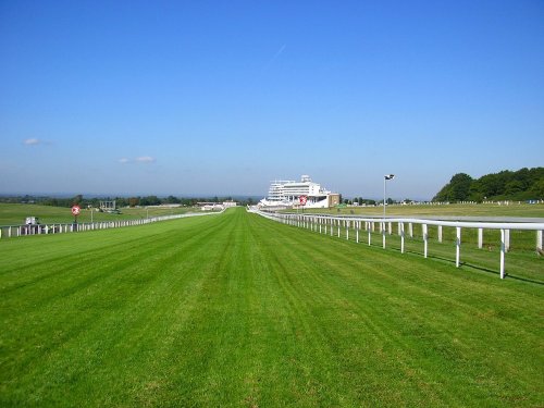
Epsom, is known world-wide for what is perhaps the most famous horse race of all time - The Derby...
Chelsea is a district in London which in recent times gained fame as the 'home' of the 'swinging sixties' . The swinging sixties was defined on the Kings Road, which runs the length of the area and both the Beatles and the Rolling Stones lived here at one time...

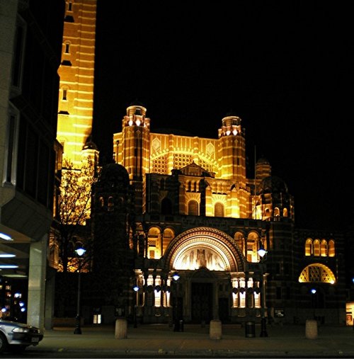
Of all the jewels in the City of Westminster, none shines more brightly than Westminster Abbey, stunning setting for the coronation of almost every English monarch since William the Conqueror was crowned there in 1066...
One of the Capital's most noted places, Piccadilly sweeps uphill with handsome houses on one side and Green Park on the other...
A walk around the village reveals a riot of attractive 17th and 18th century cottages all standing on a rise surrounded by pretty flower-filled gardens...
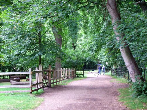
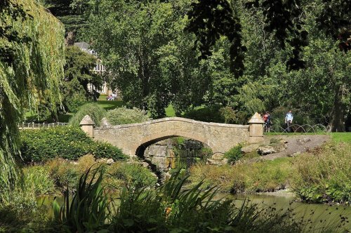
Morden Hall Park is a flourishing historic site with a wealth of wildlife habitats amongst its quiet watermeadows, wetlands and.....
..
..
..
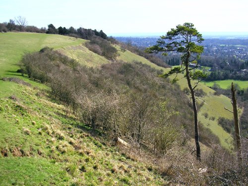
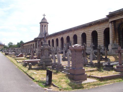
This area is one of Surrey's countryside gems. It mostly comprises of mature grassland and woodland where visitors may wander.....
..
..
Follow PicturesOfEngland.com on social media and help share the beauty of England....