"Stow on the Wold, where the wind blows cold"..
Long Compton is a small picturesque village in southern Warwickshire close with the border of Oxfordshire and on the edge of the Cotswolds, just 5 miles north of the wonderful.....
Immediately appealing, this is certainly one of the most picturesque small towns in the northern reaches of the Cotswolds..
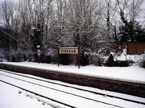
Kingham is a pleasant Cotswolds village in the heart of the Evenlode valley which, in 2004, a Country Life panel judged to be "England's Favourite Village". Not only that but,.....
Lower Slaughter is one of the Cotswold's most idyllic villages where you should abandon your car and roam around on foot...
..
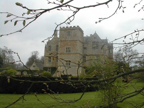
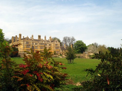
One of England's finest Jacobean manor houses, occupied by the same family from its construction in 1607 until 1991 when it.....
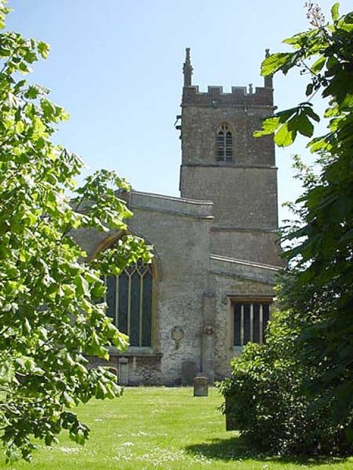
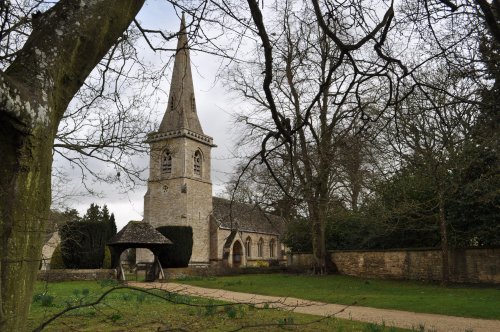
This beautiful church was built somewhere between the 11th and 15th century. The tower is 88ft high and was completed in 1447. It.....
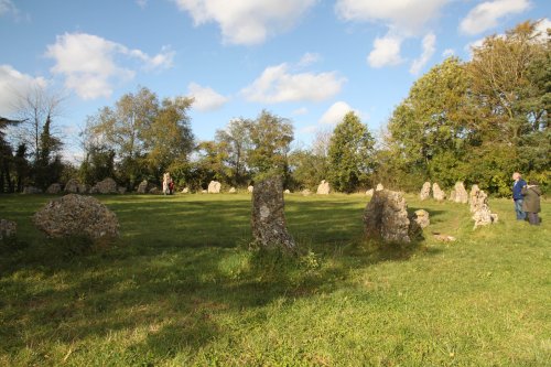
These Bronze-Age monolithic circles are third in importance only to Stone-Henge and Avebury. They are one of the most historic.....
..
Kiftsgate Court was built by Sydney Graves Hamilton between 1887-1891. He already owned the large manor house in Mickleton and.....
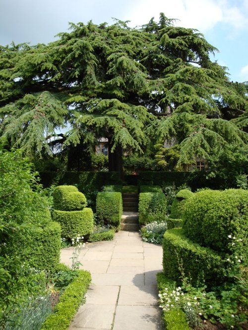
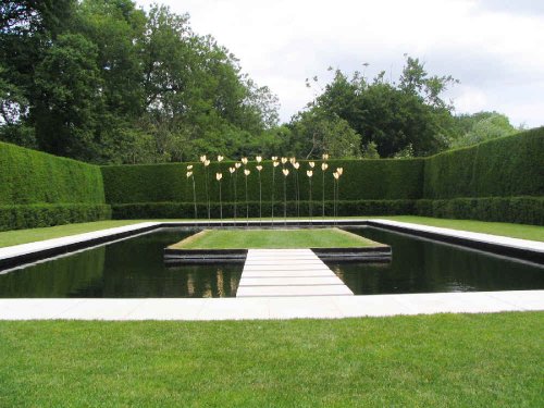
Lawrence Johnston, an American officer purchased this estate in 1907 when it was little more than a wilderness site on the.....
Follow PicturesOfEngland.com on social media and help share the beauty of England....