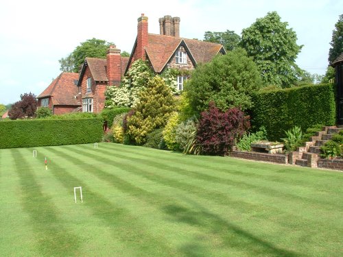
It is from his home in this very English village that Rudyard Kipling penned the wise and wonderful words of his poem 'If'...

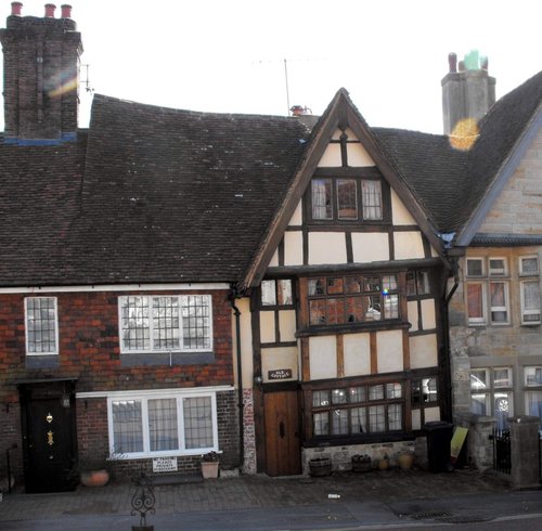
Cranbrook is an old rural town of numerous streets and alleys, all still true to their medieval layout...
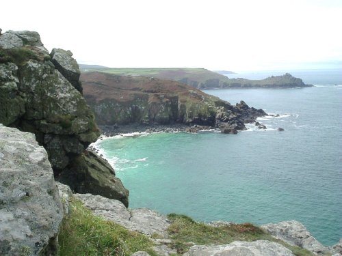
This is a tranquil, historic village lying close to the beautiful River Rother. The village stands on a ridge in a lovely rural location with panoramic views over the valley...
Brenchley is a beautiful "showpiece" village full of picturesque Tudor cottages, complimented by houses from the Regency and Victorian periods...

Also known as Royal Tunbridge Wells and only a short distance from London, this popular spa town gained a reputation as the place to see and be seen during Georgian Times frequented by royalty and fashionable members of aristocracy. It also happens to be surrounded by some of the most beautiful countryside in England. ..
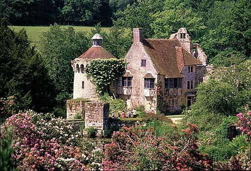
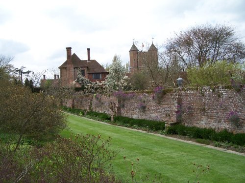
What could be more romantic than to wander amongst the ruins of moated Scotney Castle, believed to have been begun in the latter.....
Bateman's was built in 1634. From 1902 until 1936 it became the home of Rudyard Kipling and is preserved as it was when he lived.....

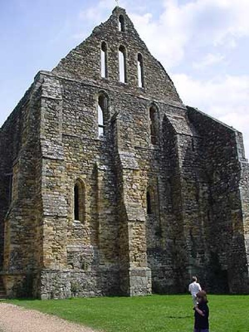
Built in the 13th century, and set in beautiful surroundings, Bayham Abbey is a favourite of painters and photographers...
..
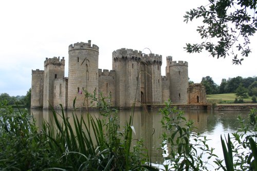
The wonderful parapet, walls and high round towers of 14th-century Bodiam Castle are gloriously reflected in its broad moat. It.....
It is entirely fitting that one of the loveliest gardens in the land can be found in a county renowned for its beauty and.....
The Abbey Ruins - The pope ordered William the Conqueror to build an abbey in penance for the great loss of life. The abbey was.....
Enjoy this site?
Please help us stay online by making a donation today - thank you for your kind support.

Follow PicturesOfEngland.com on social media and help share the beauty of England....