The Birling Gap is a coastal hamlet on the South Downs in East Sussex, situated on the
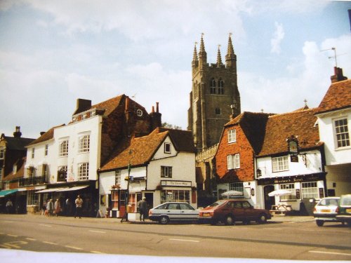
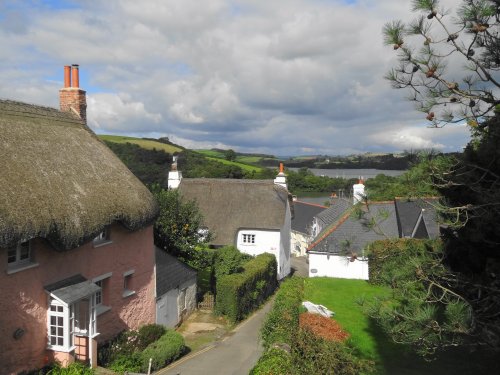
Alfriston occupies a favoured position in the beautiful Cuckmere Gap and serves as a tourist village to which hoards of visitors flock to enjoy the many well preserved fine old buildings to be seen, one of the most important being the local church...
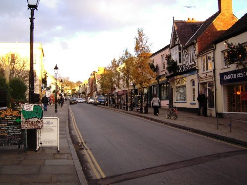
Eastbourne, is a genteel town, that owes it's distictiveness to the 7th Duke of Devonshire...
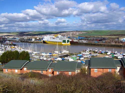
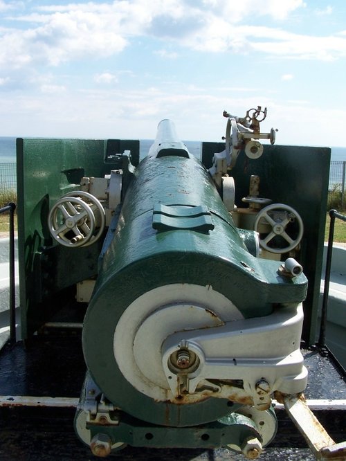
Best known for its cross channel ferries and for its fort built in the 1860's as part of Britain's coastal defences, but which is now a fascinating museum offering visitors the opportunity to experience a massive fortress at first hand...

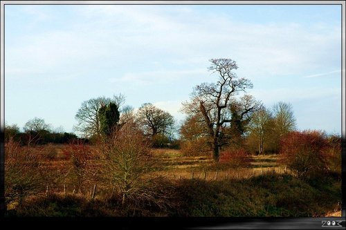
The tranquillity of this attractive little village is owed to its seclusion. Telscombe rests in a fold of beautiful Sussex countryside, and the fact that it is difficult to reach from the coast, adds to its charms...
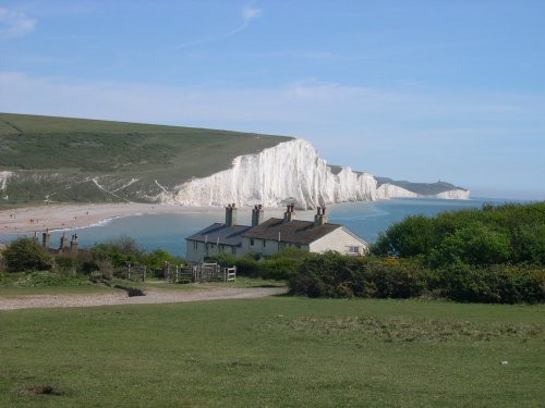
Designated a site of Special Scientific Interest, in an Area of Outstanding Natural Beauty (AONB), the Seven Sisters Country Park.....
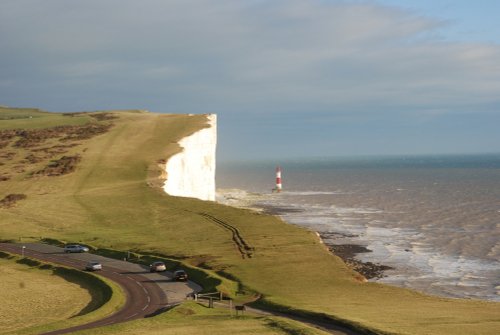
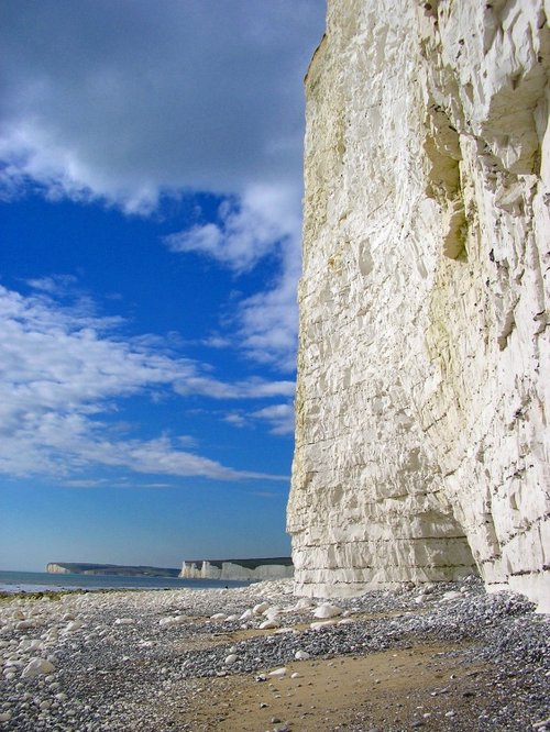
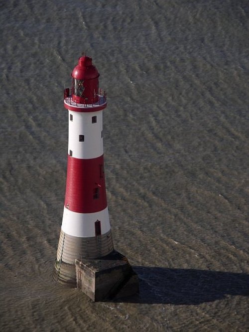
Beachy Head, with its dramatic white cliffs and gently undulating downs, is an area of outstanding natural beauty and.....
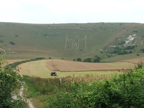
Where he comes from nobody knows, nor does anyone know the identity of this 240 foot figure of a man carved into the side of a.....

Amongst the treasures of this town is the first house to be acquired by the National Trust, this is the magnificent Priest's, or.....
..

..
..
Enjoy this site?
Please help us stay online by making a donation today - thank you for your kind support.

Follow PicturesOfEngland.com on social media and help share the beauty of England....