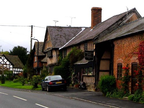
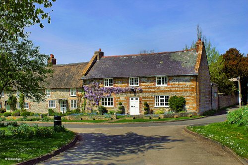
This in one of the most enchanting villages to be found along the sweeping Dorset coast. It has gorgeous little lanes where there are eye catching thatched cottages with walls.....
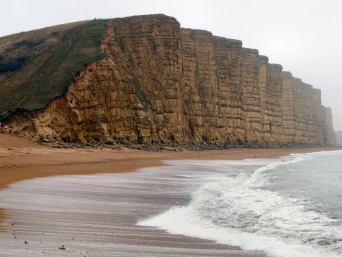
West Bay nestles at the western end of spectacular Chesil Beach whose billions of pebbles have been a constant source of fascination for centuries...
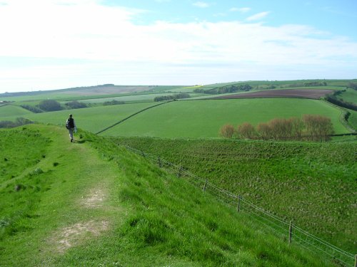
This is a particularly scenic village lying deep in a chalk-stream valley between open downs. Every approach to it is beautiful, whether crossing the hills from Cerne Abbas or Maiden Newton, or coming up the waters of the River Cerne between meadows flooded with spring lambs and ponies...
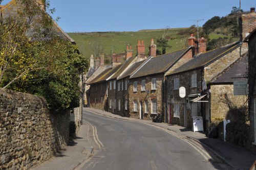
Abbotsbury is a small picturesque and historic village in the county of Dorset...

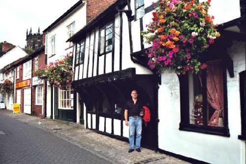
A long, winding lane, flanked by grassy banks covered in fern and wild flowers, leads to the picture postcard village of Melbury Osmond..
..
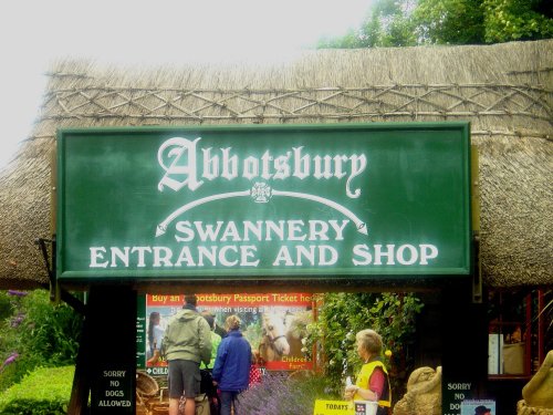
Set in one of the most beautiful unspoilt regions of England, Abbotsbury Swannery is home to sometimes up to 1000 beautiful.....
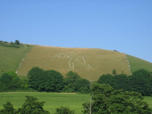
This magnificent figure cut into the turf of a chalk hillside is best viewed from the north of the village. He is known as "The.....
The finest Iron Age hillfort in Europe, Maiden Castle is the size of 50 football pitches and was first built in 600BC over the.....
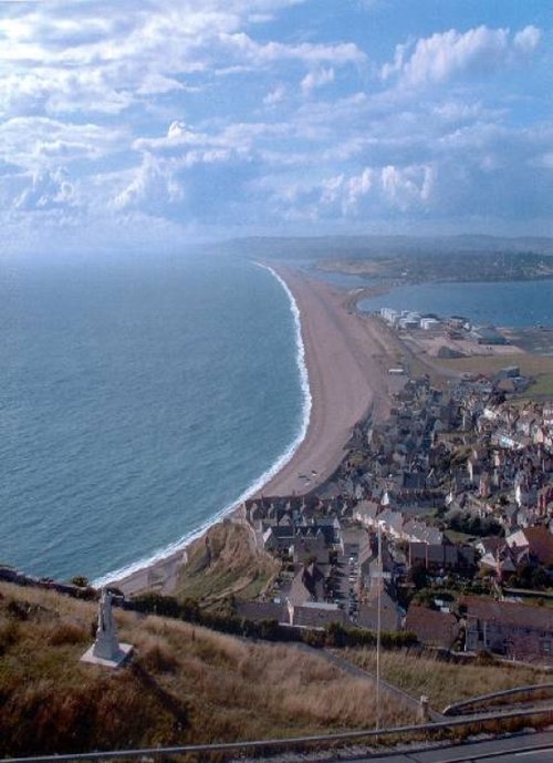
One of the most remarkable features of England's fantastic coastal scenery is the magnificent stretch known as Chesil Beach,.....
..
Where better to see and learn about the creatures of the deep than in an aquarium suite set tantalizingly beside the sea. Well,.....
Follow PicturesOfEngland.com on social media and help share the beauty of England....