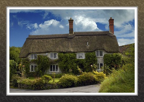
If you would like to add a description of Wheston, please use our Wheston forum here. To upload your Wheston photography and create your very own 'Pictures of England Gallery', click here or here to join the site and become part of the Pictures of England community, or simply see below for nearby recommended towns, attractions, and Wheston accommodation.
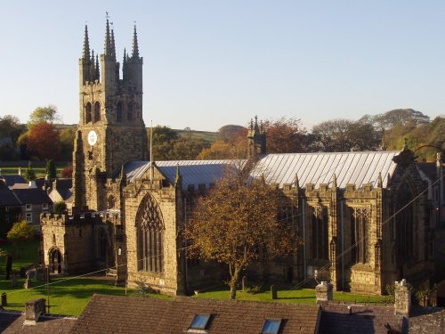
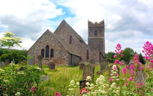
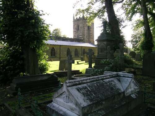
Tideswell is famous for its superb, large church, known as the "Cathedral of the Peak"...
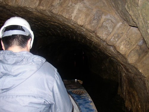
Castleton is one of the Jewels of the Peak District. It is a famous centre for caverns where you will find four of the countries most famous show caves. It is also the home of.....

This barely spoilt town offers an exciting opportunity to enjoy a town crammed with beautiful buildings whilst exploring the high upland regions of England's glorious Peak District National Park...
Chapel is a well preserved, picturesque place. It has a lovely old church dating back to the 14th-century which stands on the spot of an earlier church built by foresters a century or so before...
Setting its chilling history to one side, this is a village with a lot to offer. It is hidden away in a matchless location above the limestone peaks of Middleton Dale in the Peak District...
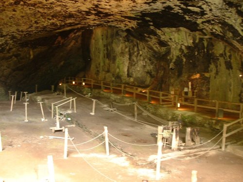
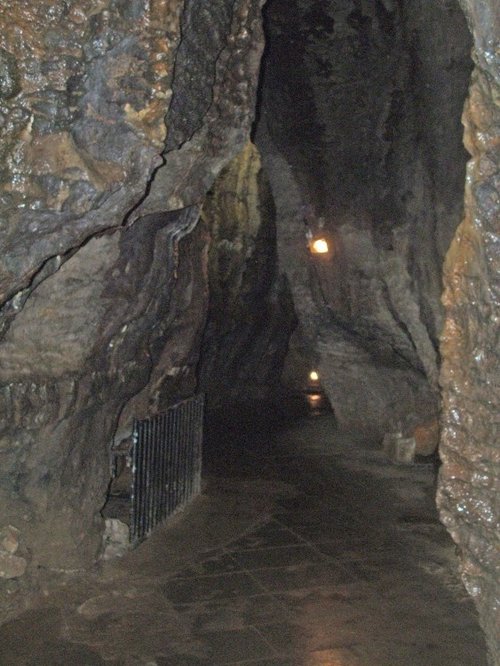
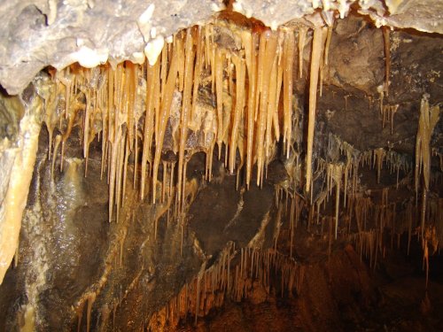
Peak Cavern is one of the finest of the many underground caverns of this area. It lies beneath Peveril Castle at the centre of.....
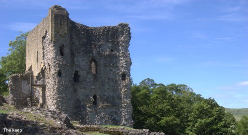
Built to be impregnable, the ruins of Peveril Castle stand on a steep ridge with dramatic views in all directions, giving the.....
..
..
..
..
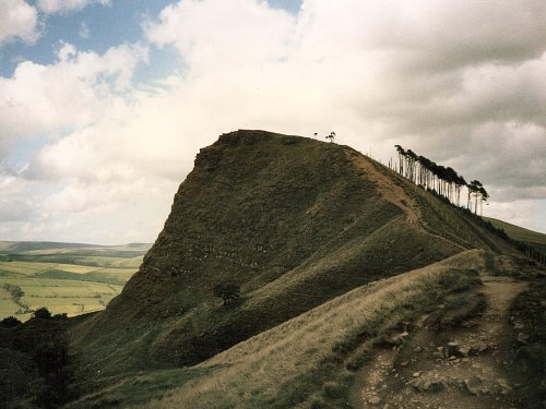
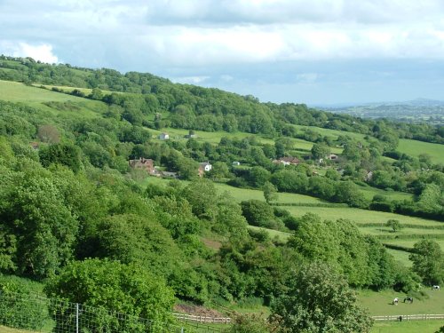
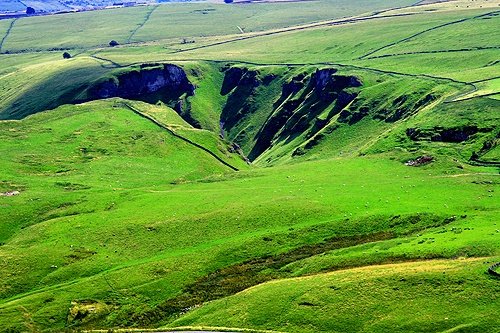
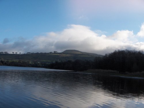
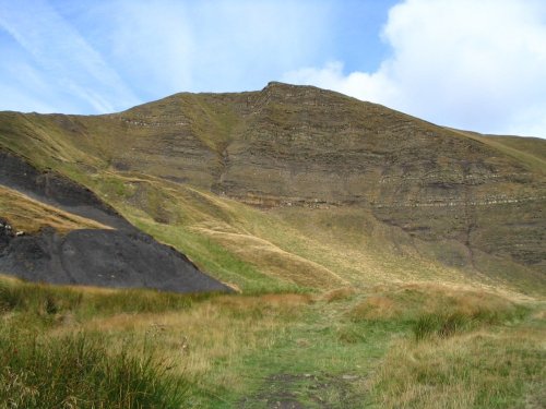
The varied and seductive scenery of the Peak District National Park rivals the scenic beauty of any where in the land. It is an.....
Follow PicturesOfEngland.com on social media and help share the beauty of England....