| A look at some of the most famous views in England... | by poe |
Setting its chilling history to one side, this is a village with a lot to offer. It is hidden away in a matchless location above the limestone peaks of Middleton Dale in the Peak District...
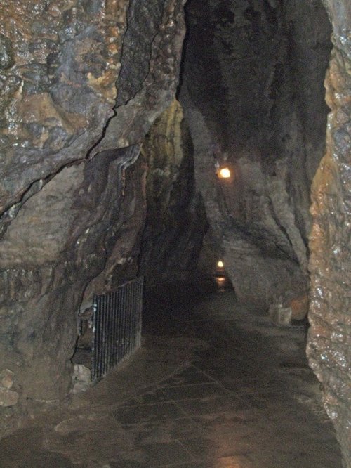
Castleton is one of the Jewels of the Peak District. It is a famous centre for caverns where you will find four of the countries most famous show caves. It is also the home of.....

Set amidst the stark loneliness of the High Peak the village of Baslow is surrounded by some of the finest historic properties to be found in Derbyshire...
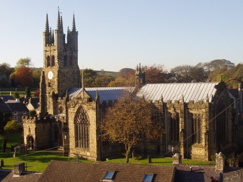
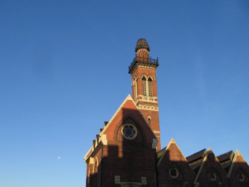
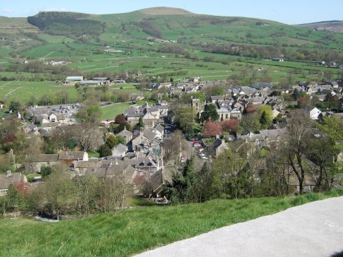
Tideswell is famous for its superb, large church, known as the "Cathedral of the Peak"...

It was the 6th Duke of Devonshire who looked out of his window one day from Chatsworth House, and realised that the magnificent view of the park in front of him was blocked by a.....
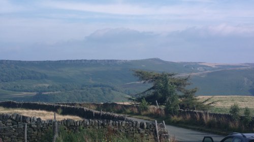
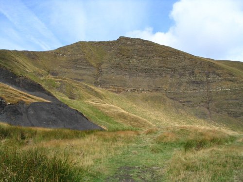
Stanage Edge is an elevated gritstone edge or enscarpment that stretches for around 4 miles giving extensive views across the.....
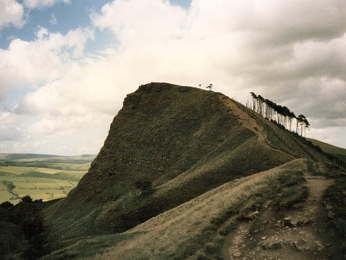
The varied and seductive scenery of the Peak District National Park rivals the scenic beauty of any where in the land. It is an.....
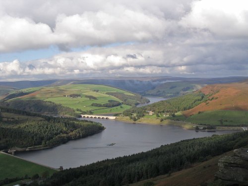
This beautiful reservoir is found in the undulating Derbyshire countryside. It is the lowest of the Peak districts three.....
..
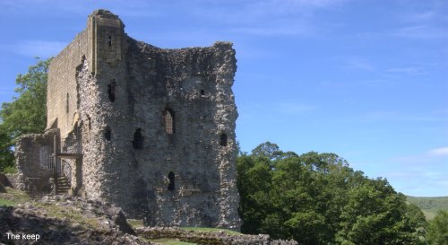
Built to be impregnable, the ruins of Peveril Castle stand on a steep ridge with dramatic views in all directions, giving the.....
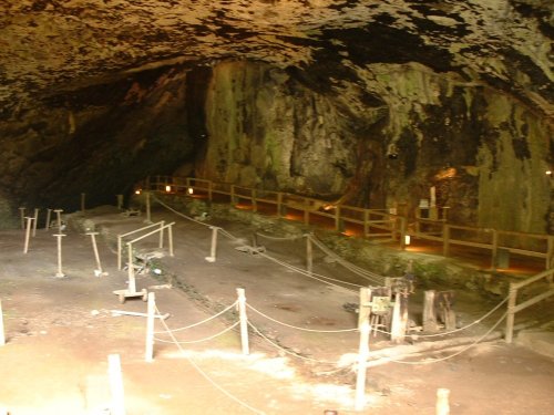
Peak Cavern is one of the finest of the many underground caverns of this area. It lies beneath Peveril Castle at the centre of.....
..
Follow PicturesOfEngland.com on social media and help share the beauty of England....