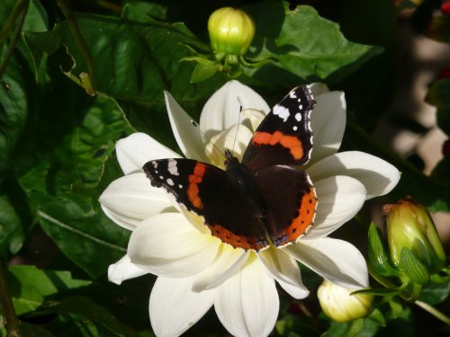
Castleton is one of the Jewels of the Peak District. It is a famous centre for caverns where you will find four of the countries most famous show caves. It is also the home of.....
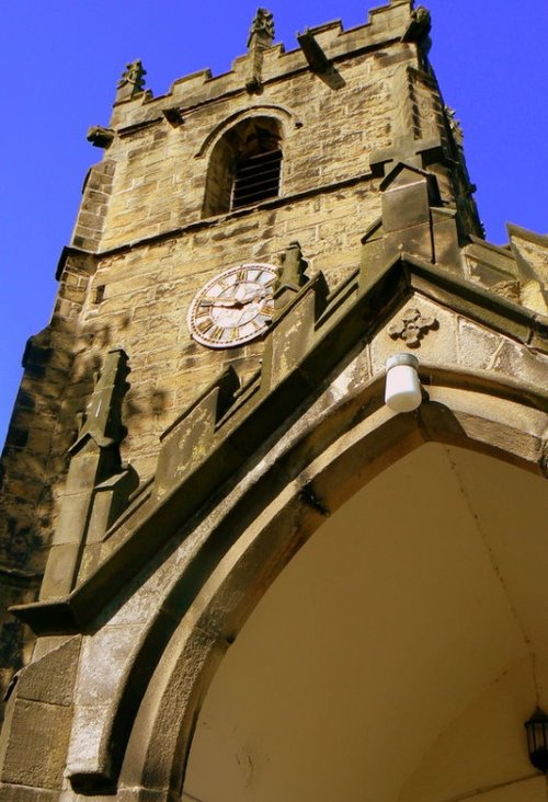
Chapel is a well preserved, picturesque place. It has a lovely old church dating back to the 14th-century which stands on the spot of an earlier church built by foresters a century or so before...
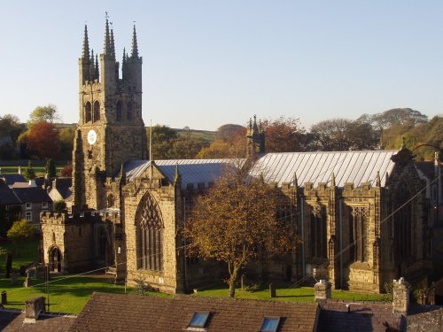
Tideswell is famous for its superb, large church, known as the "Cathedral of the Peak"...
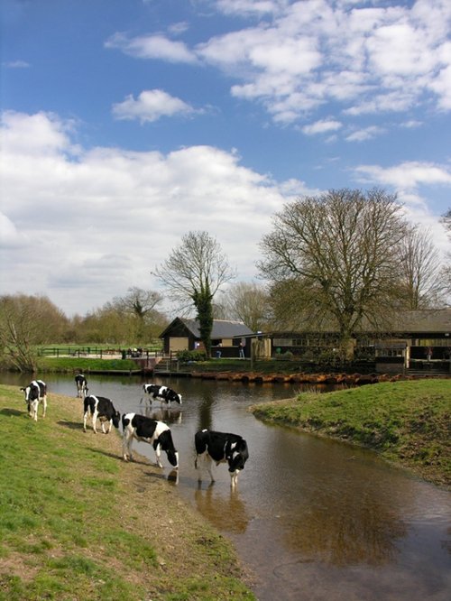
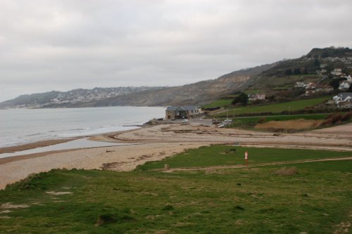
The town now takes advantage of its superb position, operating mostly as an attractive place for tourists...
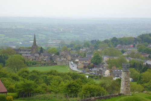
An attractive small town in the High Peak district of Derbyshire...
..
..
..
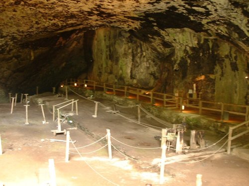
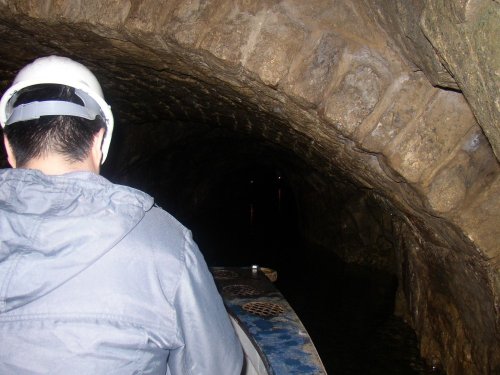
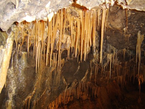
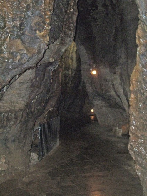
Peak Cavern is one of the finest of the many underground caverns of this area. It lies beneath Peveril Castle at the centre of.....
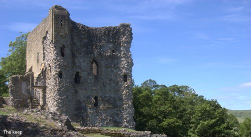
Built to be impregnable, the ruins of Peveril Castle stand on a steep ridge with dramatic views in all directions, giving the.....
Alport Castles refers to a striking natural feature in the Peak District National Park, Derbyshire, England. Despite its name,.....
..
Follow PicturesOfEngland.com on social media and help share the beauty of England....