If you would like to add a description of Carsington, please use our Carsington forum here. To upload your Carsington photography and create your very own 'Pictures of England Gallery', click here or here to join the site and become part of the Pictures of England community, or simply see below for nearby recommended towns, attractions, and Carsington accommodation.
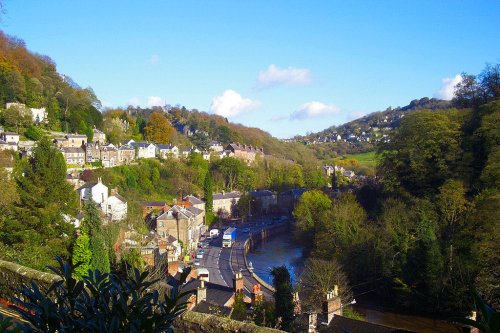
Matlock Bath lies amongst some of the most beautiful river-valley country in England...
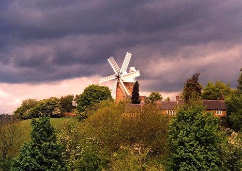
A village on the edge of the Peak District National Park with a Museum dedicated solely to the golden era of the Tramcar. Also famous as being the location for filming Peak Practice...
Ashbourne is a delightful market town located in the Derbyshire Dales, in the central part of England...
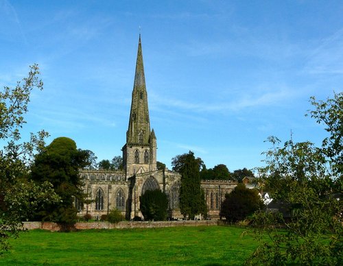
This is a popular Derbyshire village with a church dating back to the Doomsday Book...
The village lies a short distance from the beauty spot Carsington Water, between the market town's of Ripley and Belper...
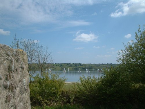
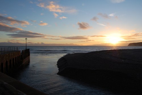
Carsington Water is situated close to the village of Carsington in the lower regions of Derbyshire. Carsington Water is a large.....

..
..
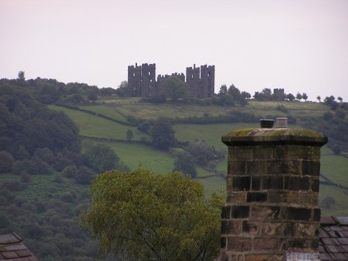
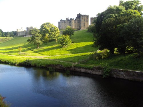
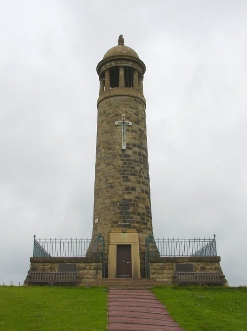
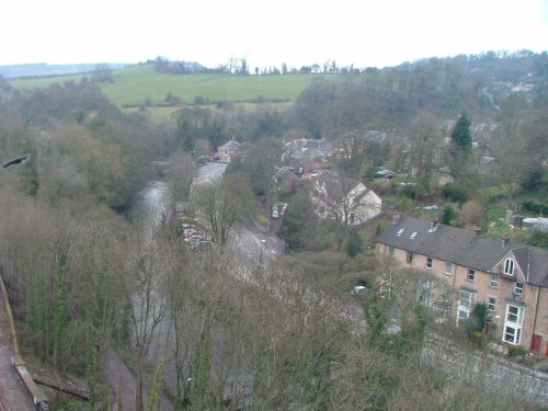
The Matlocks between them form some of the most outstanding countryside in the Peak District. Here you can find Riber Castle.....
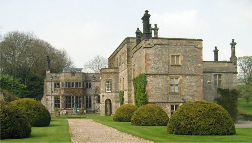
Dating from Jacobean times, Tissington Hall has been lived in by the FitzHerbert family for 500 years and is set in the beautiful.....

..
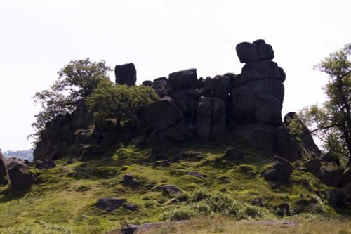
Robin Hood's Stride is a rocky outcrop overlooking the pretty village of Elton, in Derbyshire. By tradition the sole province of.....
Follow PicturesOfEngland.com on social media and help share the beauty of England....