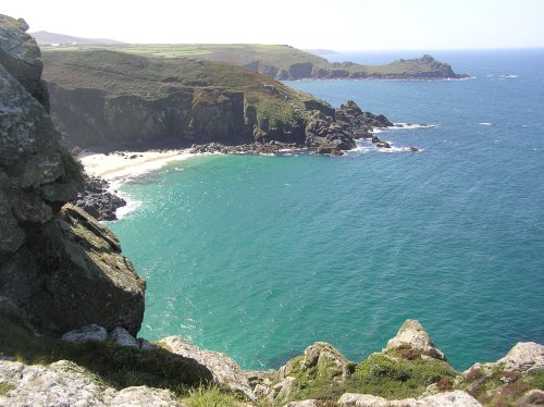
If you would like to add a description of Carr Vale, please use our Carr Vale forum here. To upload your Carr Vale photography and create your very own 'Pictures of England Gallery', click here or here to join the site and become part of the Pictures of England community, or simply see below for nearby recommended towns, attractions, and Carr Vale accommodation.
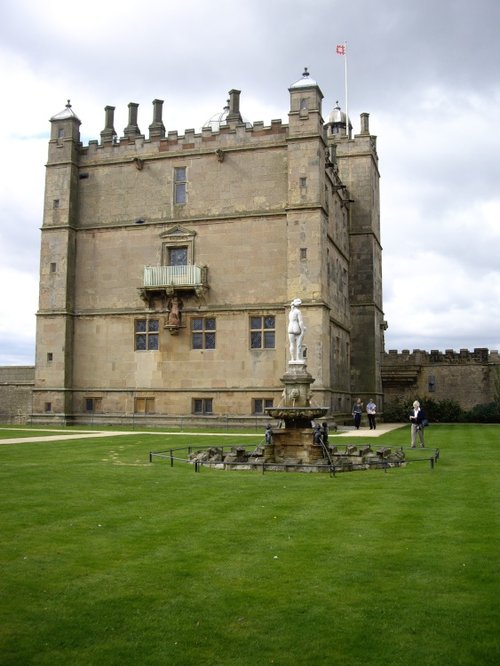
Bolsover is a small town lying 5 miles east of Chesterfield. It occupies a picturesque valley setting, watched over by 17th century Bolsover Castle which stands on the site of a former fortress of Norman times...
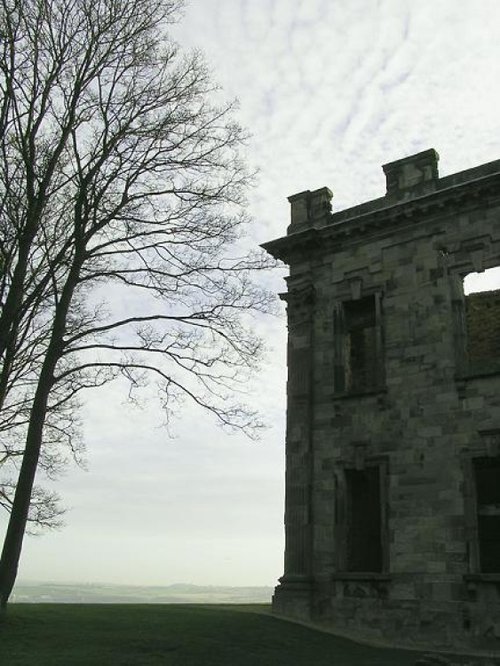
This is a village noted for the romantic ruins of what was once one of the grandest houses in Derbyshire...
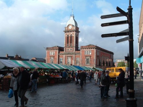
Chesterfield is an attractive town close to the dramatic peaks of the Peak District National Park. It is well known for its strange landmark, the crooked spire of its parish.....
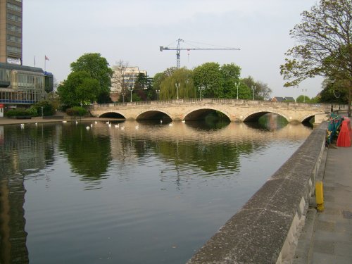
The dense spread of Worksop in Nottinghamshire meets with some seriously picturesque countryside, it is fortunate to be ringed by two rivers, the Clumber which borders Clumber Country Park, and the River Ryton...
A village on the edge of the Peak District National Park with a Museum dedicated solely to the golden era of the Tramcar. Also famous as being the location for filming Peak Practice...
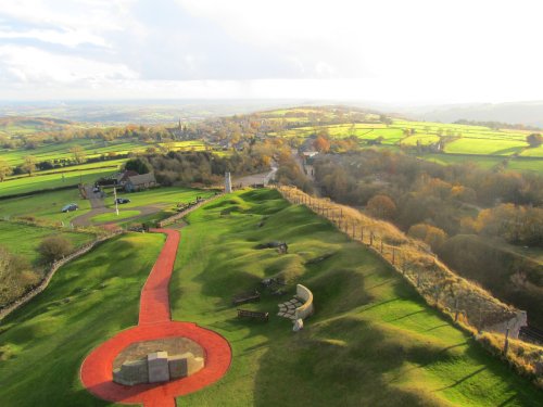
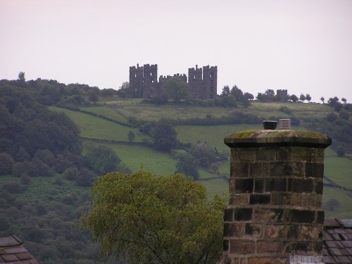
The early morning sun streams down on a piece of Derbyshire's proud heritage, as into view come the magnificent ruins of Bolsover.....
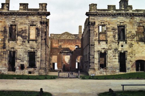
..
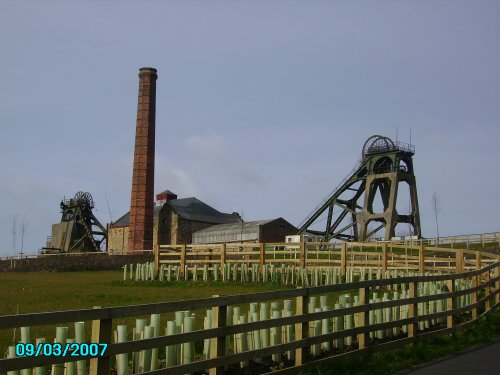
Pleasley Pit Country park is a reclaimed colliery site, which now offers nature lovers the chance to see record numbers of.....
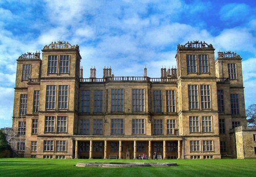
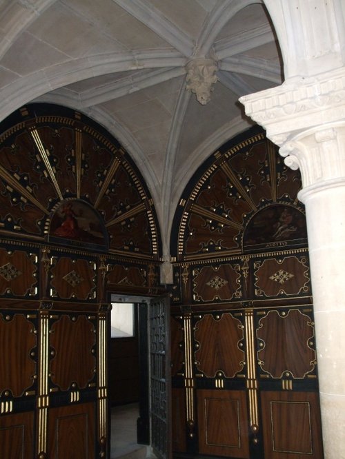
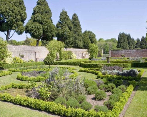
This magnificent Elizabethan house was begun by Elizabeth, Countess of Shrewsbury (Bess of Hardwick) in the year 1591. For the.....
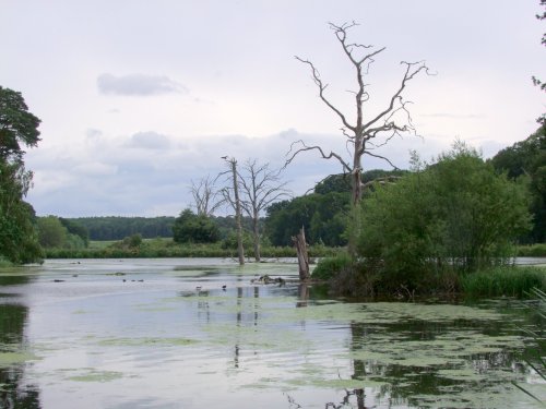
The peaceful landscape of this delightful country park gives visitors lovely summer memories of time spent ambling around.....
A beautiful historic house set in a glorious landscape of gardens and parkland within the heart of Nottinghamshire, England......
The Matlocks between them form some of the most outstanding countryside in the Peak District. Here you can find Riber Castle.....
Follow PicturesOfEngland.com on social media and help share the beauty of England....