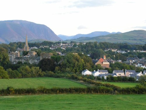
Cockermouth is ideally placed to be used as a centre for touring the Lake District National Park. It has a High Street seemingly unaltered, and is ringed by some of the finest scenery in England...

Loweswater is centred in a landscape of grandeur, it is surrounded by Mellbreak Fell, Carling Knott Fell and Burnbank Fell, all excellent climbing and walking country giving views of a mountainous landscape reflected in sun-kissed pewter waters...

Even when swirling mist rolls in over the stark fells surrounding Buttermere, the little hamlet remains serene in its simplicity and beauty...
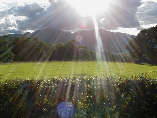
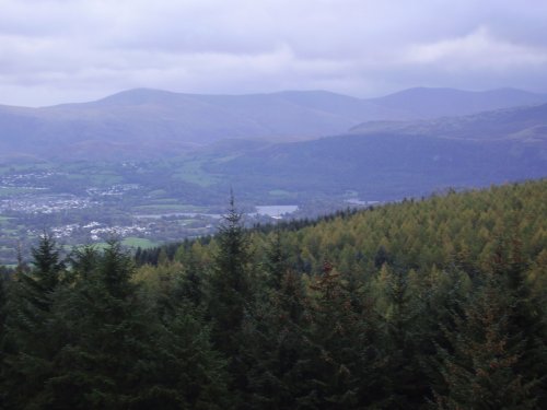
Keswick is a pretty Market Town that nestles between the spectacular Skiddaw Mountains and the northern end of the serene Derwentwater Lake within the Lake District National Park.....
Castlerigg is a favoured destination for tourists, it is easily accessible from the market town of Keswick and is within easy reach of the snaking waters of the pretty River Greta, picturesque becks and fells...
These wonderful ruins of a by-gone age can be discovered in the charming inland resort of Cockermouth, amongst Lakeland's.....
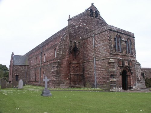
This was a Cistercian foundation of the 12th century of which the nave is now the parish Church of St.Mary, and although the.....
The romantic setting between high fells gives Crummock Water its character. It is somewhat overshadowed by other better known.....
If you happen to visit Keswick in Cumbria do not miss out on Whinlatter Forest Park, for this superb gift of nature is a real.....
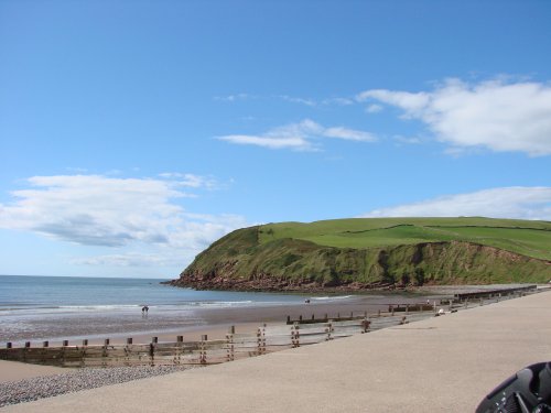
These are the only cliffs on the coast of Cumbria, and it here visitors can catch a glimpse of the sheer drama of sea-birds, for.....

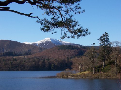
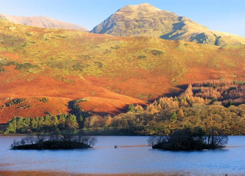
Derwentwater is one of 16 Lakes set within the Lake District National Park in Cumbria. It is one of the most northerly of the.....
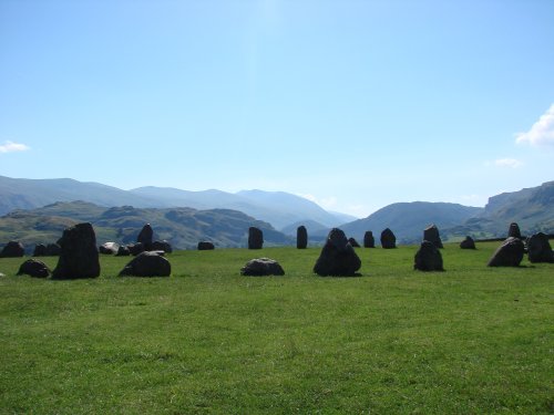
The best time to view Castlerigg Stone Circle is that eyrie time when night is just giving way to dawn. It is then, with a.....
Enjoy this site?
Please help us stay online by making a donation today - thank you for your kind support.

Follow PicturesOfEngland.com on social media and help share the beauty of England....