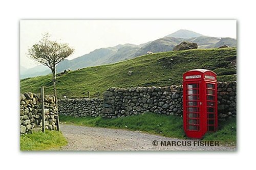
a Picturesque Village in the county of Cumbria
(1.1 miles, 1.8 km, direction N)Boot is one of Lakeland's precious jewels, a charming stone village surrounded by towering scenery which includes two of the regions most scenic waterfalls, the Dalegarth Force and Birker Force...
a Picturesque Village in the county of Cumbria
(3.6 miles, 5.8 km, direction SE)Scenery does not come much finer than the scenic beauty surrounding the Valley of the River Duddon where you will find the delightful hamlet of Hall Dunnerdale...
a Picturesque Village in the county of Cumbria
(4.0 miles, 6.5 km, direction NW)Nether Wasdale lies opposite Wasdale Head at the western fringe of Wast Water...
a Seaside Town in the county of Cumbria
(5.7 miles, 9.2 km, direction W)Special for being the only coastal village within the Lake District National Park, Ravenglass lies where three important rivers converge into the sea...

in the county of Cumbria
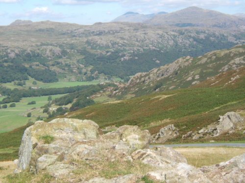
(5.9 miles, 9.5 km, direction N)Vast, lonely landscape of towering fells, jewel like streams and tarns situated at the head of the Wasdale Valley with the mighty Scafell Pike, England's highest mountain and Great Gable forming an almost uniformity range of mountains in the distance...
All towns in Cumbria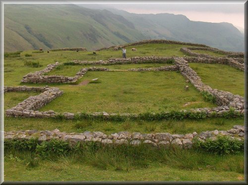
..

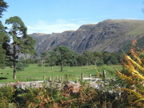
Wast Water is the deepest lake in England at 280 feet deep. The awesome peaks of Sca Fell and Great Gable tower over the wild,.....
..
These famous pikes rise loftily above the village of Langdale, whilst below visitors can savour the wild and desolate beauty of.....
This exceptional magical landscape is known as Beatrix Potter Country. For it is here amongst Lakeland's magnificent tarns and.....
Enjoy this site?
Please help us stay online by making a donation today - thank you for your kind support.

Follow PicturesOfEngland.com on social media and help share the beauty of England....


