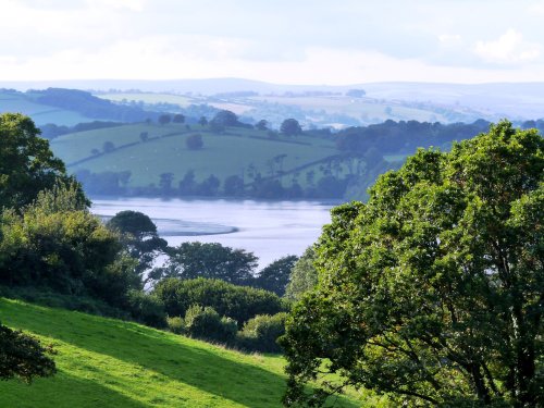
Kirk Merrington is a pretty, hilltop village overlooking the Wear Valley and the Cleveland Hills...
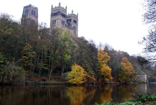
Durham as a town reflects the long history of its magnificent castle and cathedral with its winding streets, ancient market place and alleyways and other old churches to discover.....
This was the busy social and commercial centre of the south-west Durham coalfield, but the town is actually much older than the Industrial Revolution, although that historic.....
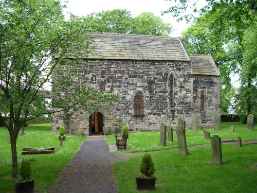
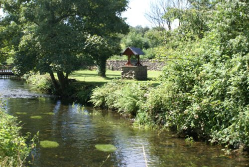
Lying in a prominent position ringed by the River Wear, Escomb is best known for its magnificent Saxon Church reputed to be built from stones brought from the near-by ruined Roman Fort at Binchester...
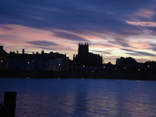
This is an ancient seaport and county borough which merged with its Victorian neighbour, West Hartlepool in 1967...
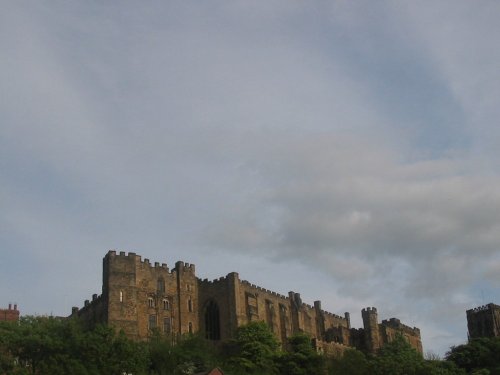
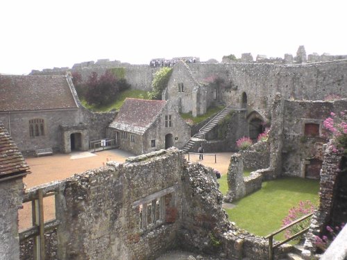
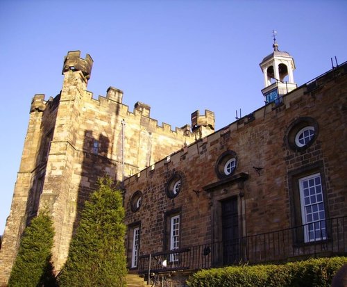
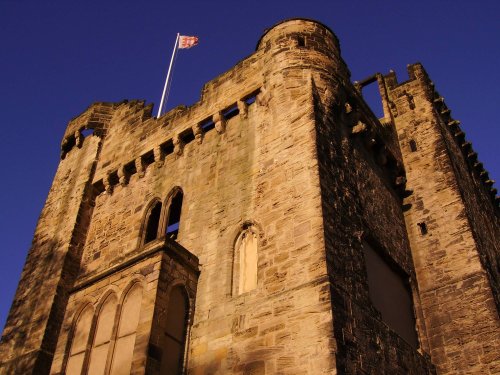
Durham Castle is another one of Durham's magnificent buildings. It was founded in 1072 and such was the impregnability of the.....
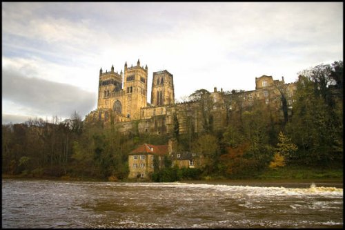
One of the finest buildings in the world. This huge cathedral which is third only to Canterbury and York in ecclesiastical.....
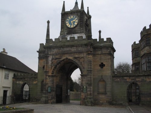
With its grand arch, Auckland Castle, also known as Auckland Palace or the Bishop's Castle, is the official residence of the.....
..
..
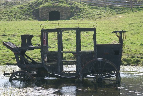
Beamish Museum lies in a basin of stunning countryside covering over three hundred acres. This is no ordinary museum, but an.....
..
Enjoy this site?
Please help us stay online by making a donation today - thank you for your kind support.

Follow PicturesOfEngland.com on social media and help share the beauty of England....